
South Fork of the Smith River (Lower)
| Stretch: | Steven's Memorial Bridge to Craig's Flat |
| Difficulty: | class III- (IV) |
| Distance: | 12 mile |
| Flows: | 600-?000? Measured downstream. Current Dreamflows (est) gauge |
| Gradient: | 28 fpm average |
| Put-in: | Stevens Memorial Bridge |
| Take-out: | Craig's Flat (maybe Craig's Beach) |
| Shuttle: | 13 miles, 20 minutes |
| Season: | Winter Spring Fall (Natural) |
| Written: | © 2008 & 2009 |
| Featured in Video Eighteen. | |
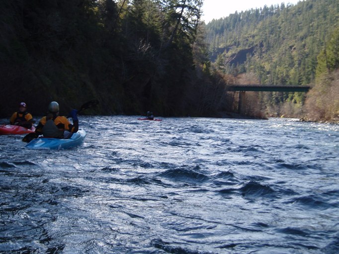
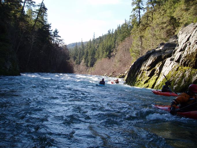
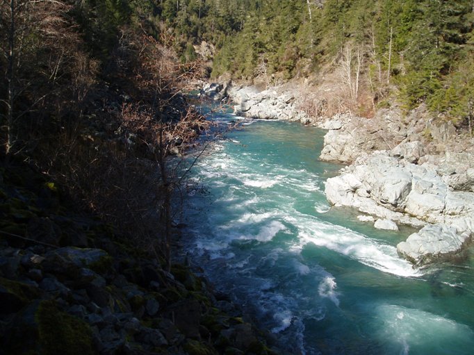
We ran this stretch of water over two days. The first day we got skunked on Goose Creek and after driving up and back setting different shuttles three times, we set ourselves on doing the lower half of the Lower South Fork of the Smith and then running the South Fork Gorge. The first day we decided to put in at the third bridge and run the five miles to the South Fork Gorge. These six miles were fun and took one hour with 2,000 cfs. In it are two harder rapids and one other stuck out. The hardest is just upstream of the gorge (take out) and can be road scouted. From Craig's Flat (or beach, I can't remember) drive about ¼ mile. The first sharp right turn that has a large turnout on the left signals you. Stop and find the trail at the downstream edge of the turnout, it is ~100 feet to the water level.
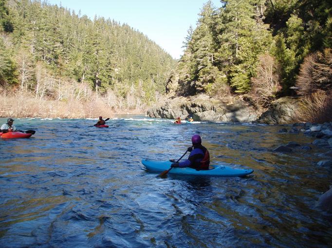
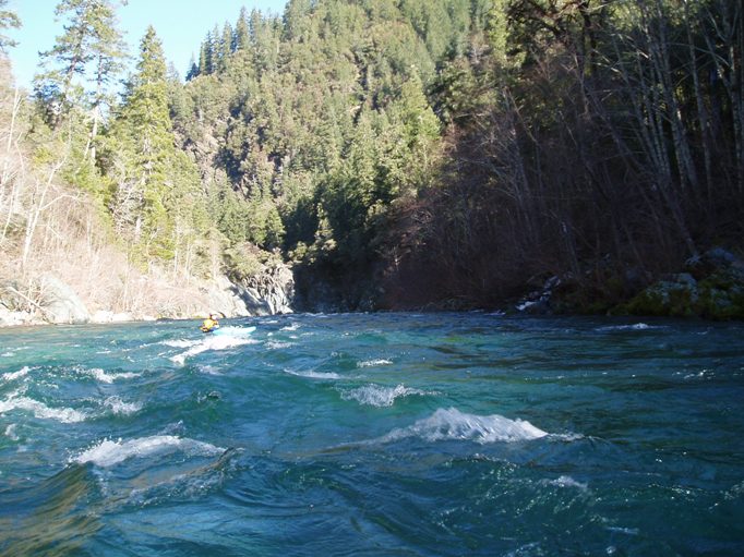
The third day in the drainage we wanted a short and easy run to do before making the long drive back to Sacramento. We decided to complete the lower Smith and run the top six miles. The top six miles seemed a little easier than the bottom six miles (both are comparable though) and took a little longer. It took about 2 hours. There was a lot more slack water in the top, the bottom had current the entire length of the five miles and required no paddling, the top however had slower moving water.
The top stretch also provided many little rocks to boof off of as well as some great holes and waves to play on. The bottom half seemed to be much more just run down the middle with fewer options to make it more exciting.
In all, the run was beautiful and was very worth while. Even my buddy who swore he would be bored conceded that he had a good time and did not hold it against me that I wanted to run the two stretches. If you are a class III boater looking for some beauty but are unable to venture to the North Fork, this is a good option for you. There are two (maybe three) rapids which you will want to take note of, but the rest will be lower stress and very pleasant.
Mi 4:
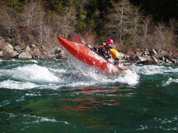
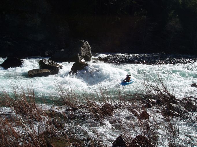
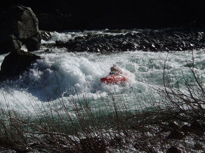
- Boulders (III+ to IV). When you see the first sign of civilization, the first big one is coming. The water slams into a boulder pile in the middle of the river. The safest line is to cheat to the left of it. Scout or portage from left. This rapid is also easily visible from the road.
- Lower Put in at the second bridge up from take out.
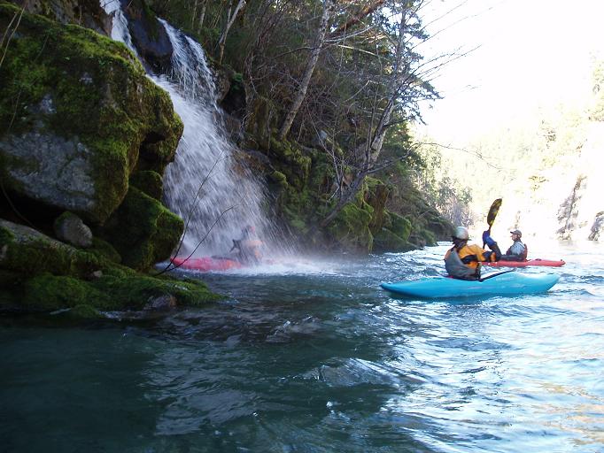
- Pillow (III+). A huge pillow is created off of the right shore, holes are in the center too. Find a clean line down the middle. There is more rapid around the corner.
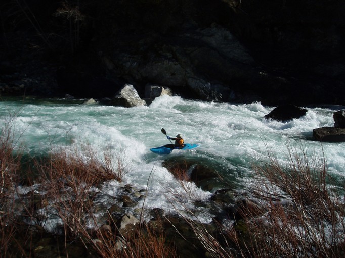
- Hole (IV). A huge hole at 2,000 had to be sneaked on the left bank. This required that you not look at the hole 2 feet to your right or else you would be like a fly to the blue lamp... It can be road scouted, see the intro for that information.
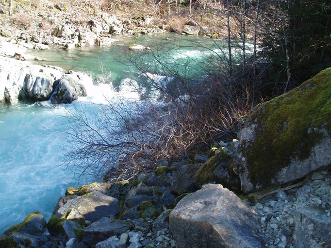
Take out: Continue up the South Fork Road (stay left after the bridge). Continue about 2 Miles until you get to Craig's Flat (maybe Craig's Beach, I cant remember). This is take-out. A short trail leads down to the water. I would scout this take-out to ensure you recognize it because once you are past it you are committed to running the South Fork Gorge and forced to run several big class IV and IV+ rapids.
Put in: Continue up the South Fork Road...
For the lower half of the run...at mile 6 or so you will cross a bridge, shortly after another comes into site, just before a load leads steeply (for 15 feet) up on the left, follow this for 100 yards and park in the turn out. This is the put in for the lower half (or take out for just the lower half).
For the upper half of the run... continue up the South Fork Road about 12 miles from Craigs Flat. You will come to the third bridge (not including the take out bridge). Just before it on the left is a turn out. There is a way down to the water on the downriver side of the down road side of the bridge... although it isn't the easiest thing in the world.
View South Smith, Lower in a larger map
HTML Comment Box is loading comments...