
Russell Fork (Gorge)
| Stretch: | Golden Hole to Above Elkhorn City |
| Difficulty: | Class IV to V |
| Distance: | 4.0 miles |
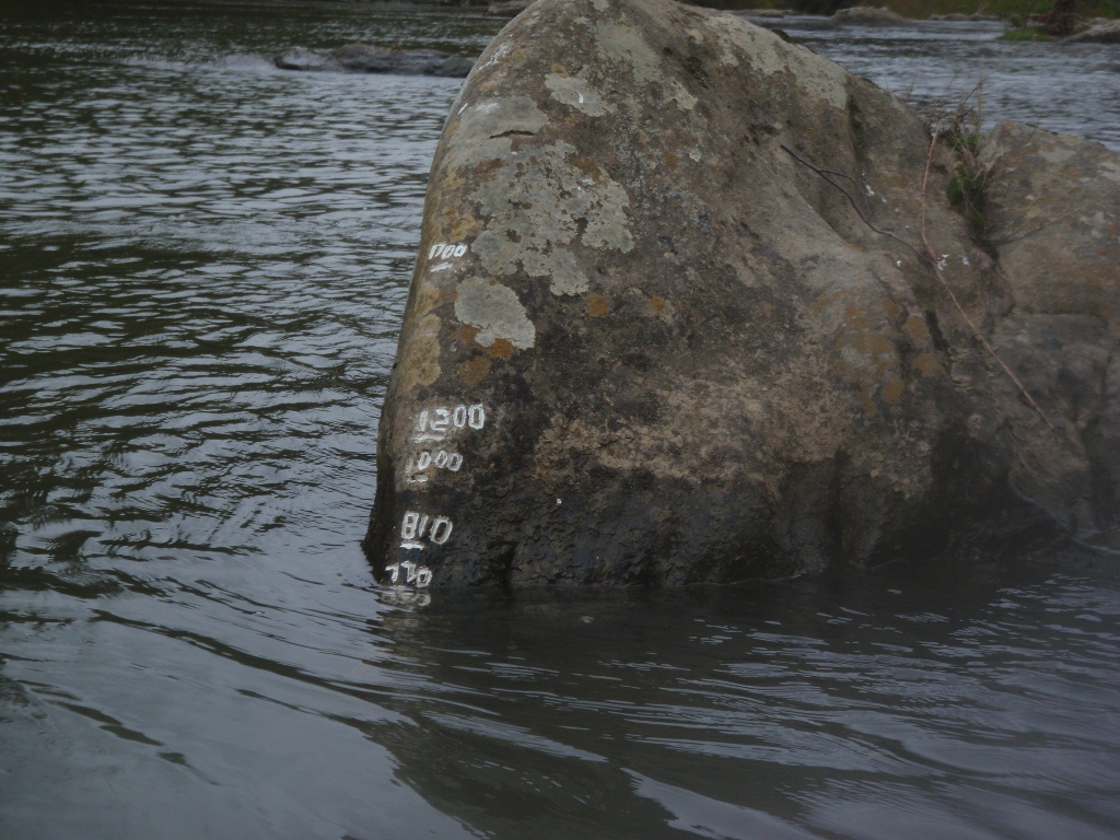
| Flows: | ~300 to 2,000+ cfs. Current AW gauge |
| Gradient: | 69 fpm (The gorge is 99 fpm for 1.4 miles) |
| Put-in: | Golden Hole |
| Take-out: | River Access near Elkhorn City |
| Shuttle: | 7 miles, 15 minutes One Way |
| Season: | Year Round (rain) (October weekend dam release) |
| Written: | © 2011 & 2020 |
| Featured in Video A Wet State #53 and in A Wet State's contribution to World Kayak's Video Guide | |
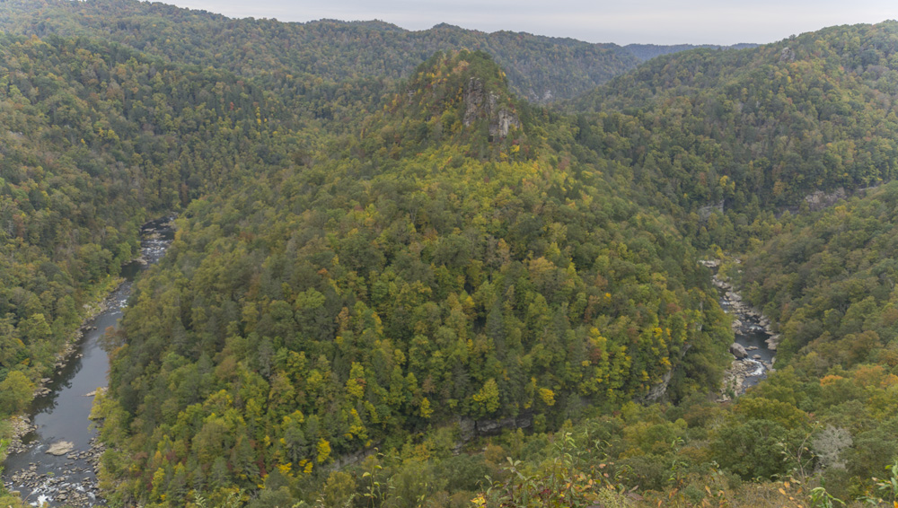
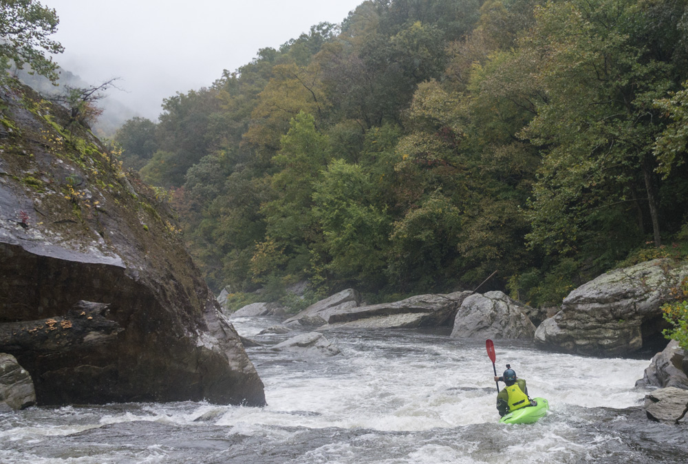
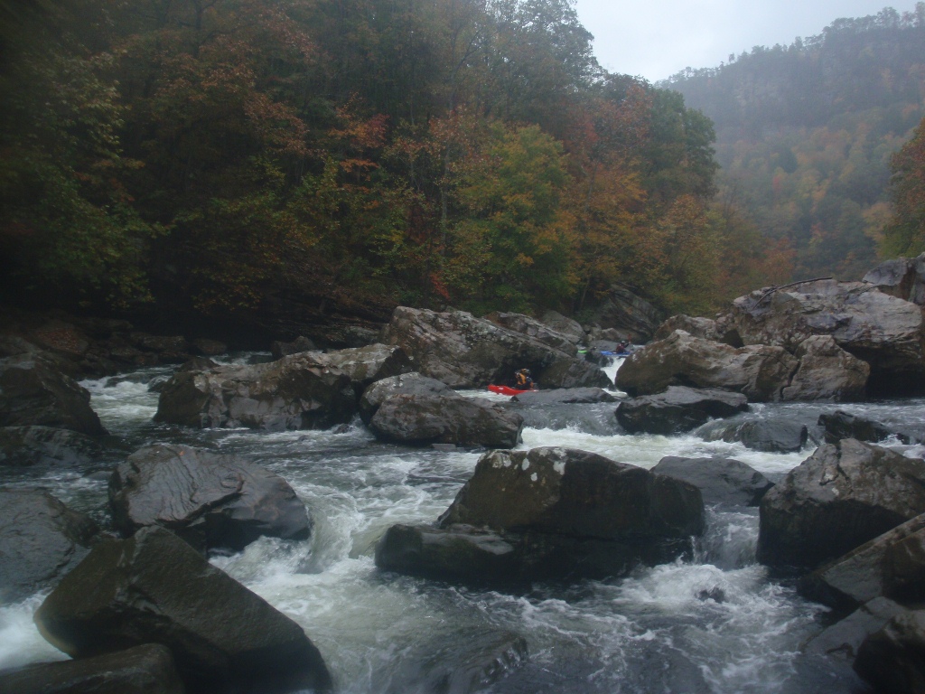
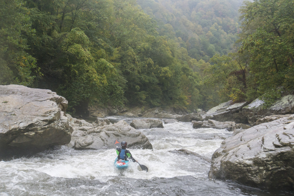
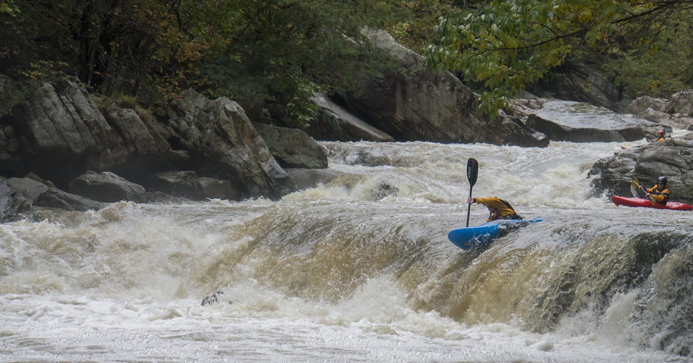
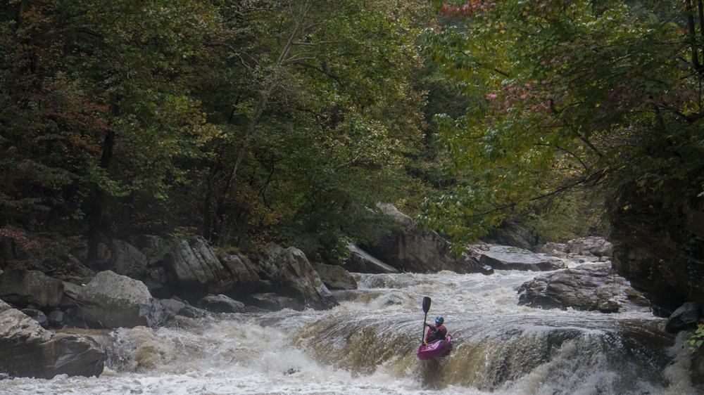
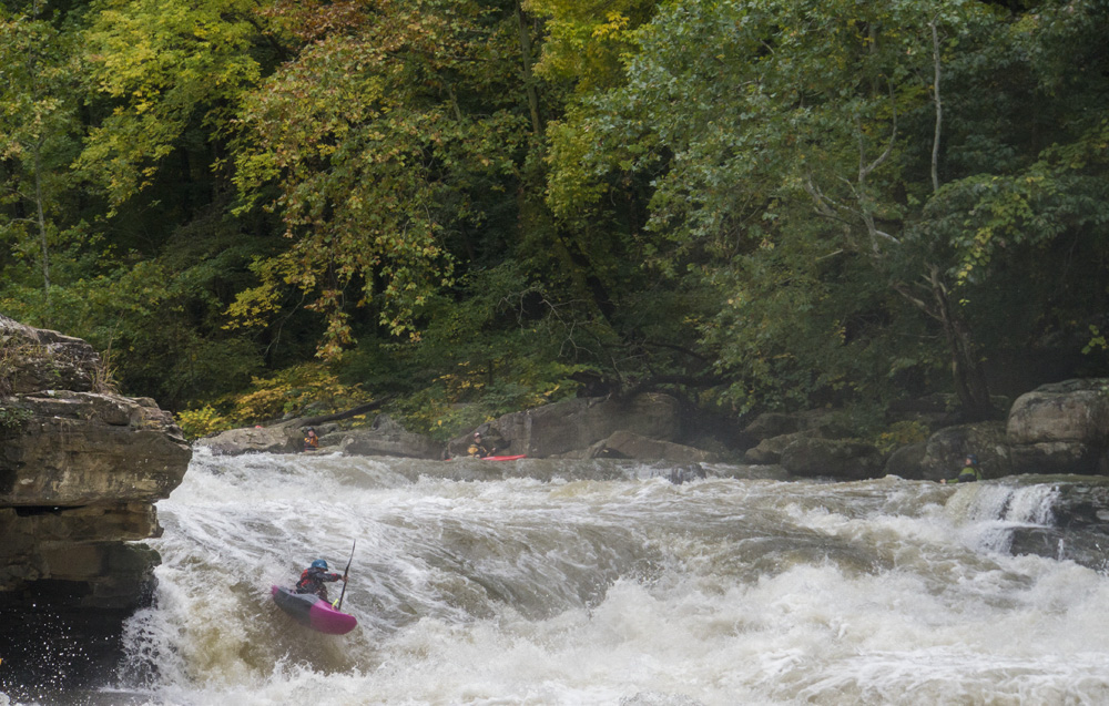
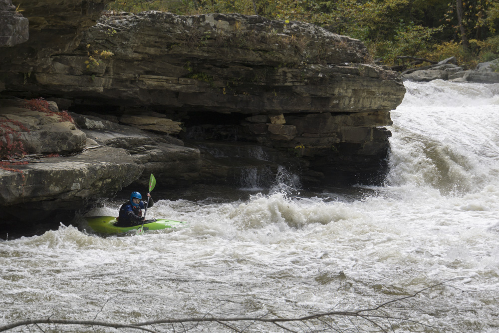
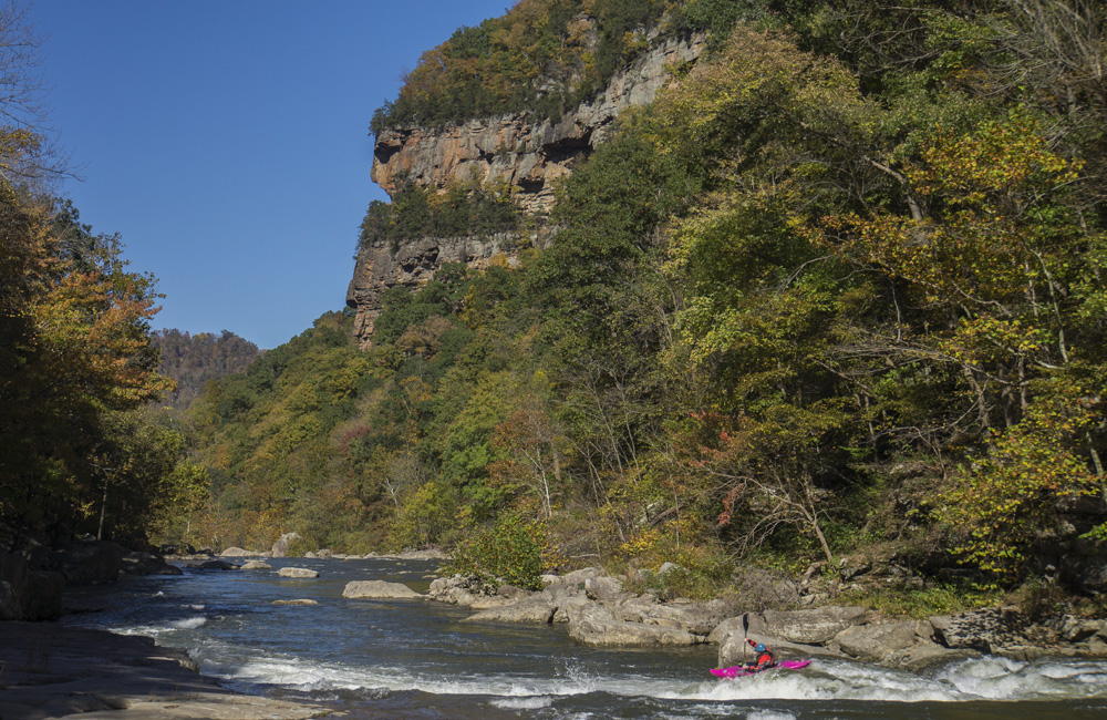
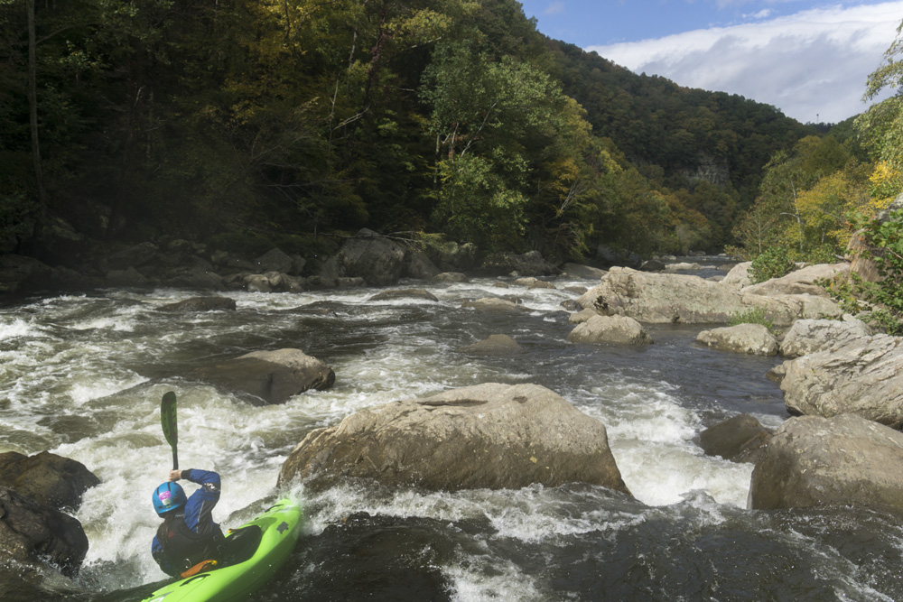
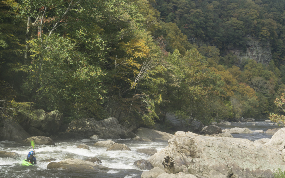
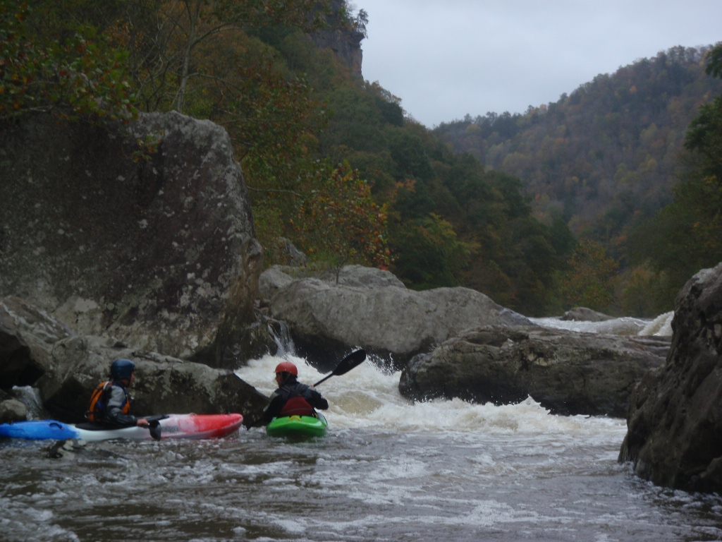
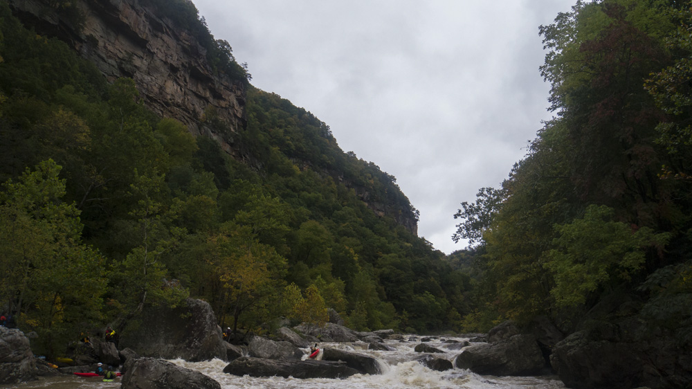
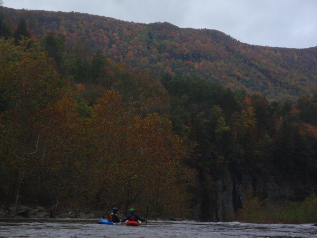
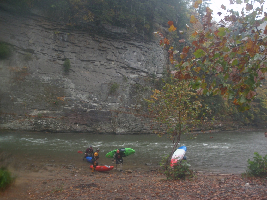
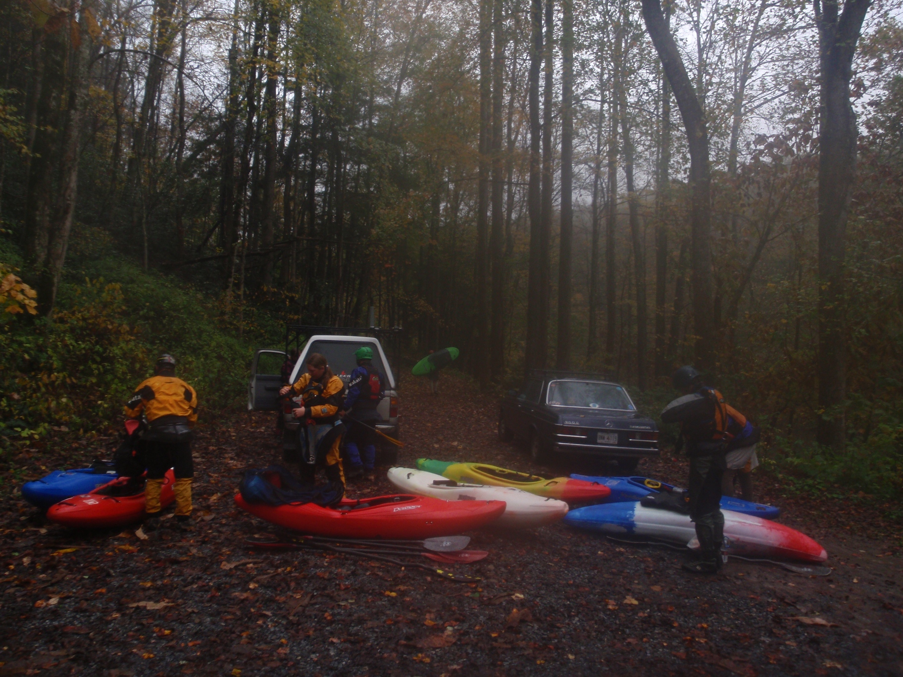
If you are anywhere near this area in the Fall, with water in the river... hit it up. I think this run was the highlight of our trip to the East Coast. The scenery was superb, really quite nice with towering cliffs and a dense brightly colored forest surrounding you throughout the entirety of the run. The only downside is that it is seemingly in the middle of nowhere, out deep in Coal Country with the put-in in Virginia and the take-out in Kentucky.
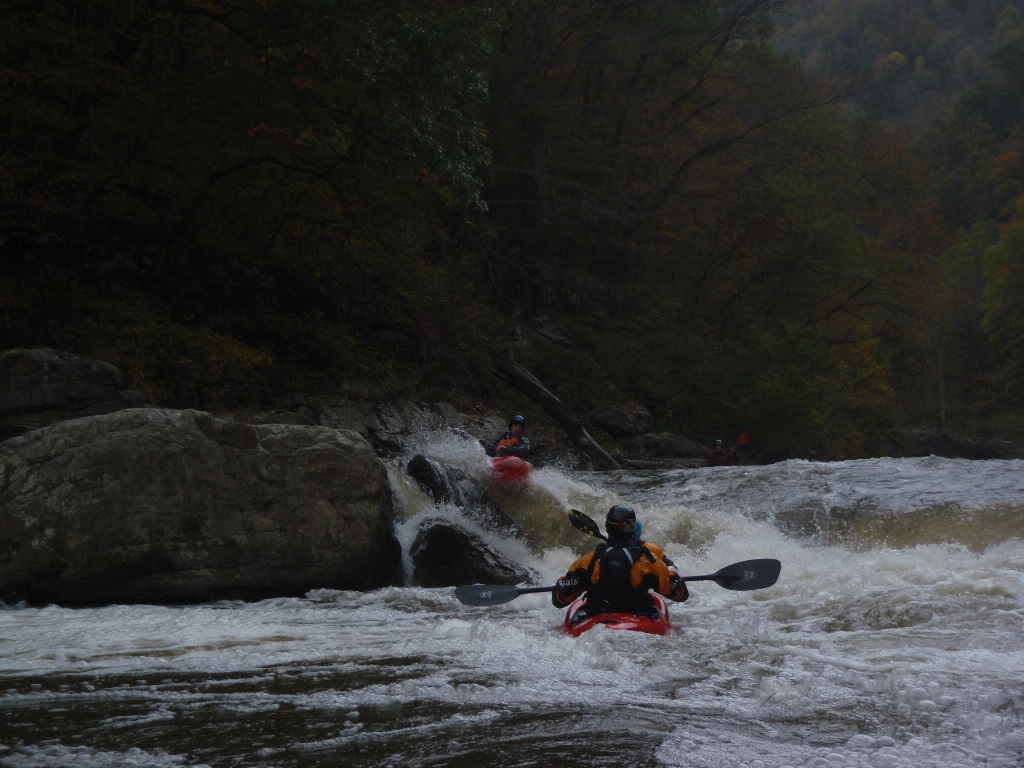
During the release weekends in October, flows of 800-1000 cfs are released. The last weekend release is higher at 1300. Despite what the AW site says about that flow being hair boating, if you are a solid class IV-V boater, the 1200 cfs flow we had was by far the best and most fun flow. I am however glad that we had laps at 430 and 770 under our belts so the lines were fresh in our minds. Several sections do get pushy and continuous so it is nice to not worry about your channel dead ending. At the lower flow of 430 I felt the run was a class IV run with a few class IV+ but plenty of hazardous spots. At the Higher flow I don't feel that it was worse than class IV+, but now there were hydraulics to push you off line or worse, swim you if you messed up. The highlights of the run are Triple Drop, El Horrendo, and Foreplay/Climax. Those rapids are enough to put a smile on anyone's face...
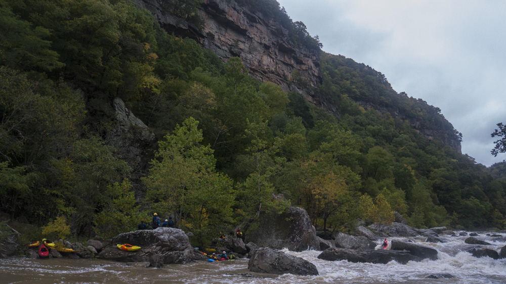
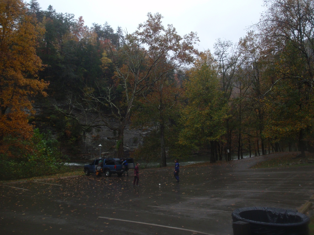
During release weekends camping at the take-out is allowed despite the no camping signs. Any other times you have to camp closer down to town near the bridge. Be aware, that if you want some adult beverages, head back up towards put-in a mile to Virginia as that part of Kentucky is dry... and to that affect, if you are caught drinking at take-out they may ask you to dump it out or even to leave the campsite. Also, if you happen to be there while it is raining, you could do Grassy Creek which comes in a mile above take-out and marks the Virginia border. Other options are the class III-IV (?) Upper run or the class II-III(?) Lower run, neither of which I did while there.
Update 2020: Over the past 6 years since we moved here, I have done this river a lot more! And man do I love it! So, I am adding some pics from all the laps and editing some of the descriptions now that I know more...
Mi 1.2:
- Pre-Tower (IV). The first bed rock rapid has several channels. We always took the middle bed rock channel. The right channel went at the higher flows but was sievy at the low flows.
- Towers (IV+). At low flows we drove right to left and then avoided the undercut. The right side was rocky. At medium flows we boof the edge of the right ledge and ran out the exit on the right as all the mank was under water now. Be aware there is an eddy to catch you if you are over aggressive boofing right. At high flows (~1,400+ cfs), you run down the far left which is a slide to small boof, all to avoid what becomes a very bad pocket hole on the right.
- Fist (IV-V). OK, so this is one of those rapids, it isn't hard at low flows... but if you mess it up you may die. At low flows run center driving left into the eddy, then ferry out in front of the sieve. At medium flows (700-800 cfs) we snuck down the far left channel and then ferried out which was sketchier now. At higher flow, You can run the fire-escape which involves either boofing in on the far right, or doing a ferry turn from left to right, to fight through the boil on the right wall and bump up and over the rock ridge on the ridge to clear the rapid. Note, 880 cfs is the low end cut off for doing this move safely in my mind. Below, the odds get too high of being rejected off the very very shallow rock ledge and into the sieve. The walk is an easy one and many people choose that.
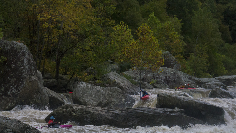
- The Maze (IV to IV+). Two entrances at the top, left channel and right channel. The right channel has a folding feature into a small hole. That is the fun way I go. The left channel is more straight forward. This then leads to a small lull and then the exit. The hazard here is in the right channel and is that at bottom on the right is a massive undercut/sieve/tunnel. It wouldn't be fatal I don't think as it is plenty big for a person and a boat to fit through, but damn it would not be fun... So instead, go down the main left channel which starts with a ramp and then gets into a boily area which you want to keep driving straight downriver, the river goes over a rock fence and ledge, you can go to either side of the rocks you see, aiming for the main flow in the center which is obvious. The eddy below this rapid is immediatly on the left, like immediatly. Basically, the outflow then goes off a broken ledge which you can run anywhere and then you are at the top of Triple Drop. It all runs together 100% and a swim here would be hard to fix before Triple Drop. That in my mind is the biggest hazard to this rapid, even more than the rocky nature of the rapid.
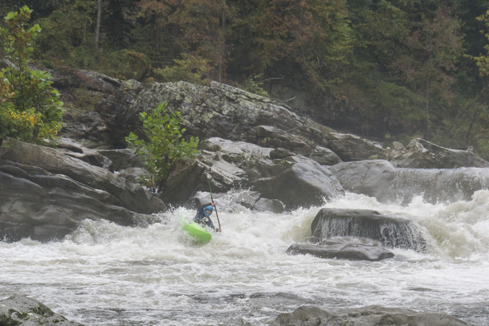
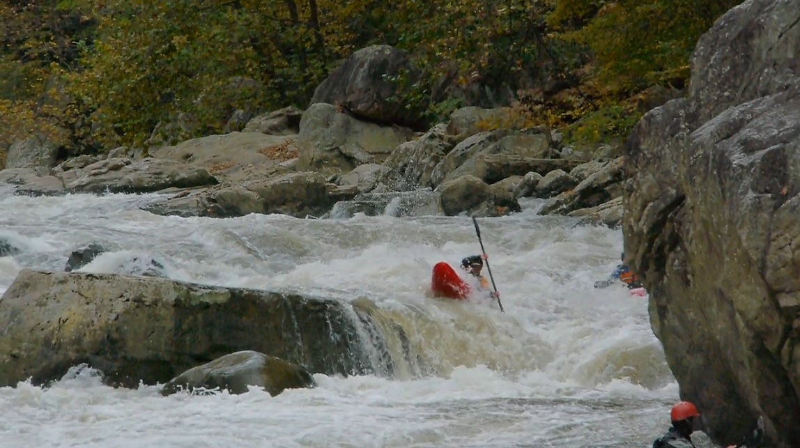
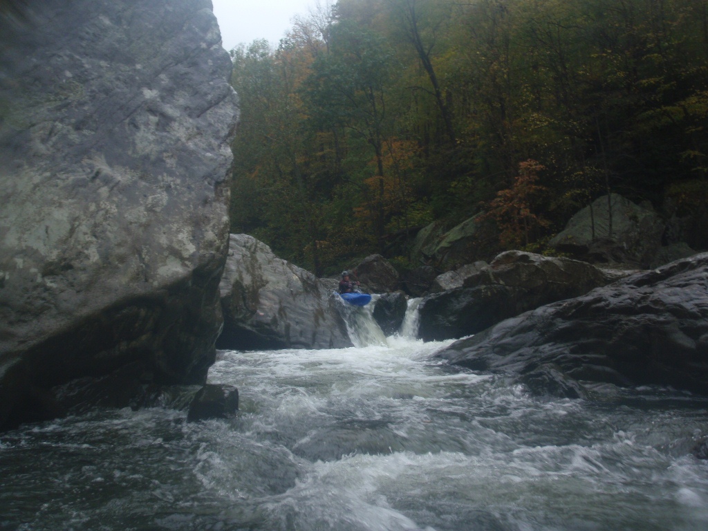
- Triple Drop (IV+). Just below is a series of ledges. The first is really hard to scout. There is a small flake that makes a nice auto boof over the sticky hole, just left of center. The issue is that erroring 3 feet either direction lands you in a sticky hole! Like really really sticky. Like, you will likely swim sticky. At low and medium flows you can run further left and it is still ok. At high flows, a lot of folks portage this as it becomes a low head dam on the left and the middle gets even harder to clear through cleanly. Below is a ramp into a flushy hole which is then followed by an off angle ledge with an obvious boof right of center, though you often get accidentally eddied out on the left and then you just paddle to the end of the balcony and boof the shoulder on the left.
- Boulder Garden (IV to IV+). A really fun bolder garden with a large hole in the middle and at the bottom, we stayed left the whole way down. Really good rapid.
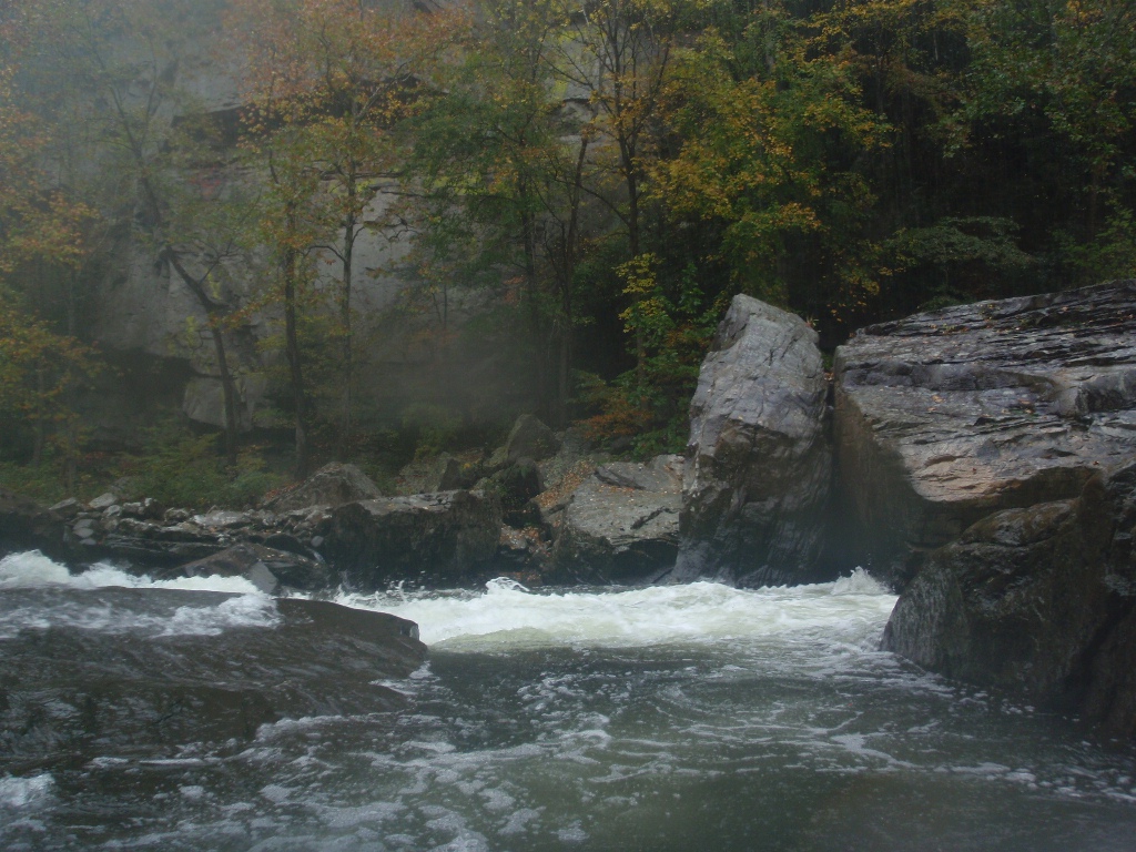
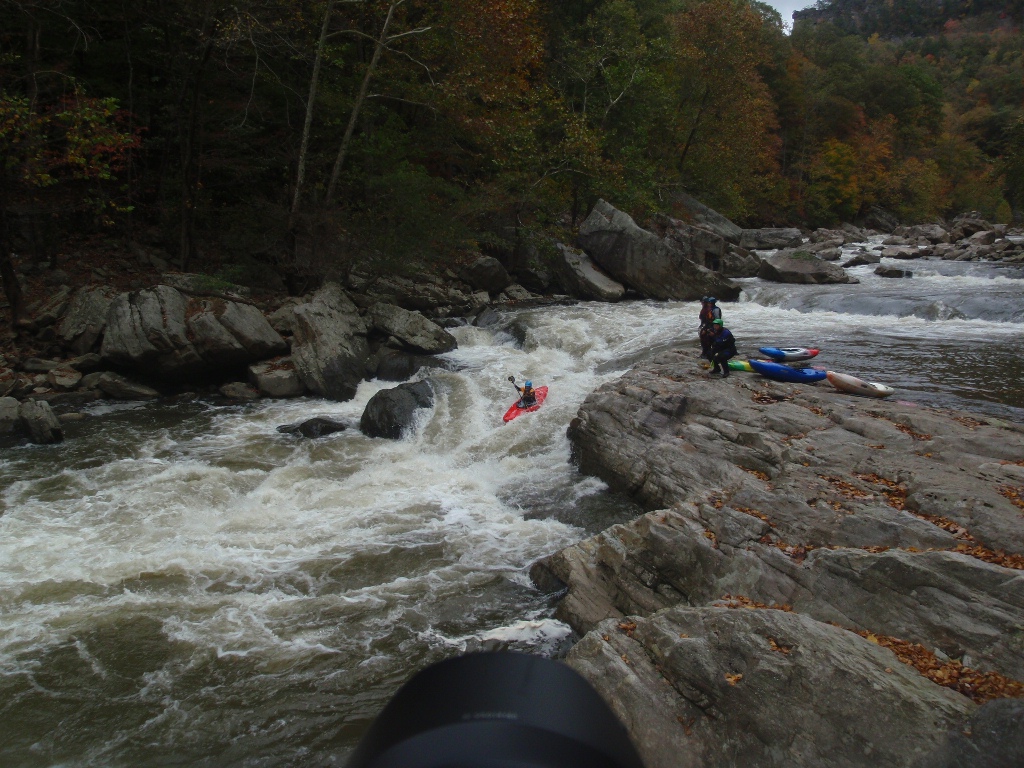
- El Horrendo (IV+ to V). At low flows we entered the main channel boofing through a good size hole and then ferried across from the main hole which we ran far right. As flows came up we ran a micro channel into the eddy to then ferry out of and run the far right again. Be aware, lots of the water flushes into undercuts on the right. They all flush through, though we had a swim due to extended submerged time. A good line is to boof it and point right so you eddy out in front of them and can then ferry away from them. There is also another common line (race line) which is down the left. A lot less fun, but faster.
- Ledge (IV). I don't think this one has a name, but it was so sick. A drop into a 90 degree turn with a huge cushion to climb before boofing a sizeable hole. So fun!
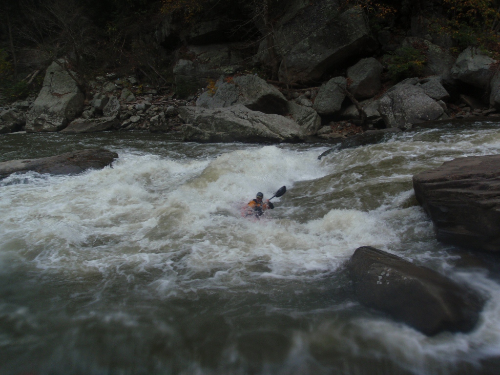
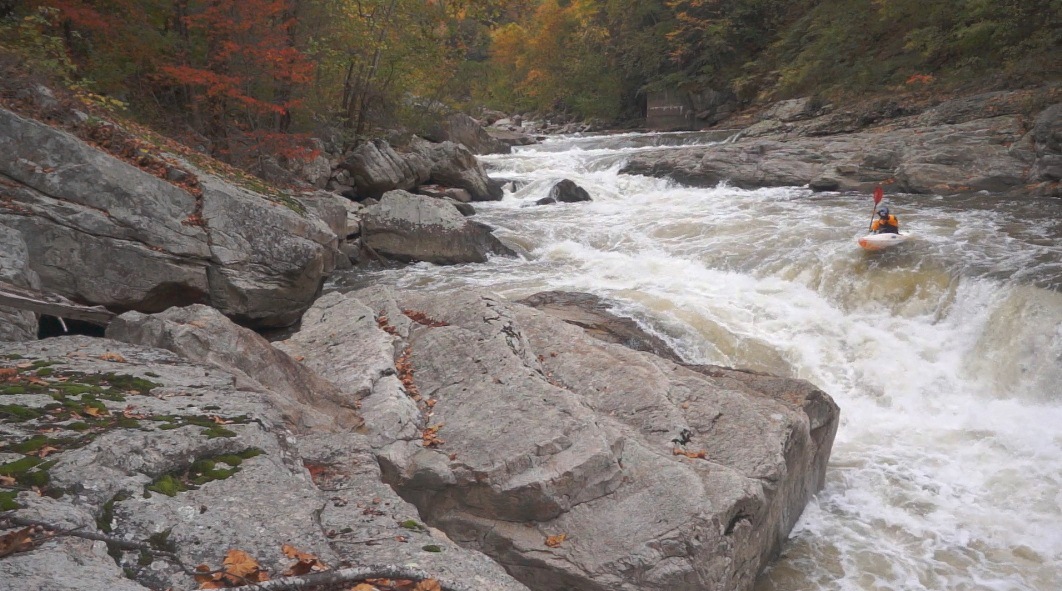
- Foreplay (IV+ to V). So I think this rapid is easy if you are in control. However it is very long, and very sievy. Multiple moves and boofs must be made to get to Climax. The fun part though, is that there are A LOT of different lines to hit and boofs to hit so each lap can be different! Furthermore, at the higher flows there are no pools to rescue folks in... in fact, there are only a few eddies. Climax is the exit of this rapid.
- Climax (IV+ to V). The boulder choke that is Foreplay opens up to a "pool" maybe 50 feet across but fast moving water pushing out of it. Climax is the far right chute which is sick and fast moving with high water. At low water it was a rocky flop. The "black box" is a tricky boof on the far left. And the raceline is down the middle which sends you directly over a sieve, 900 is basically minimum for that, more water is better. Just downstream is a boof right of center called Cigarette that was fun... from there it is just a paddle out...
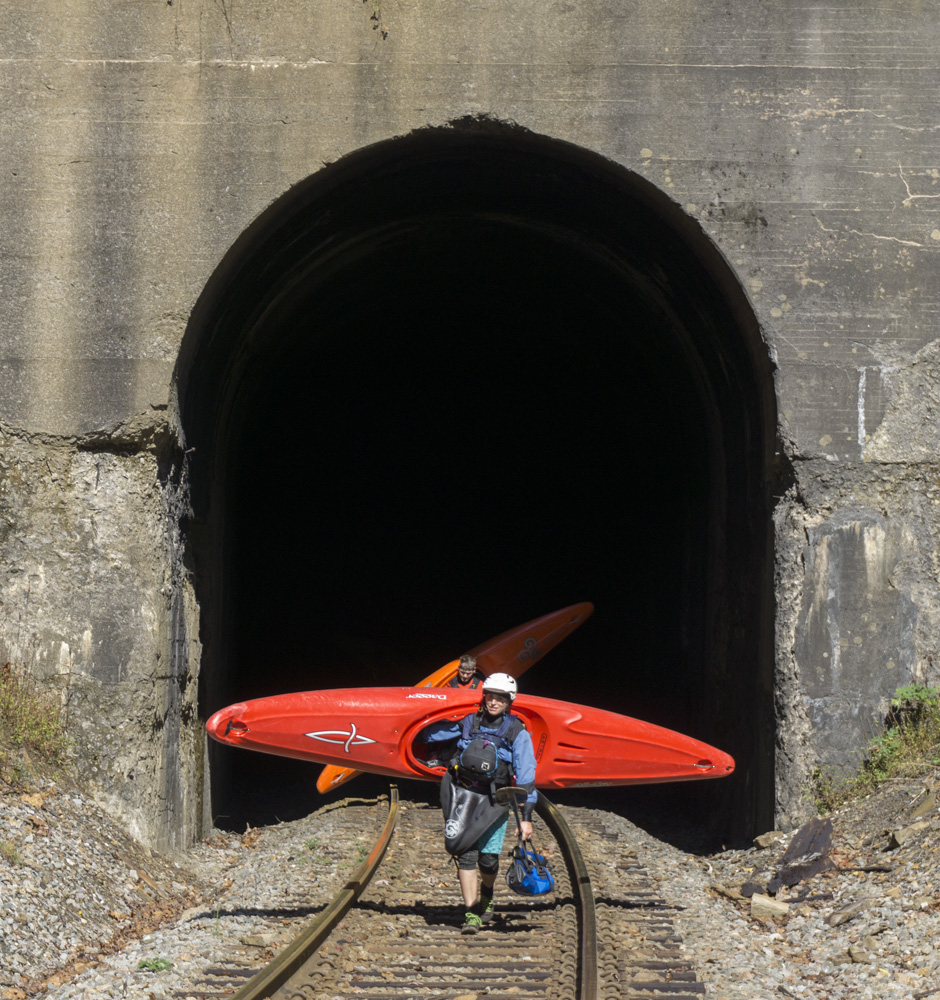
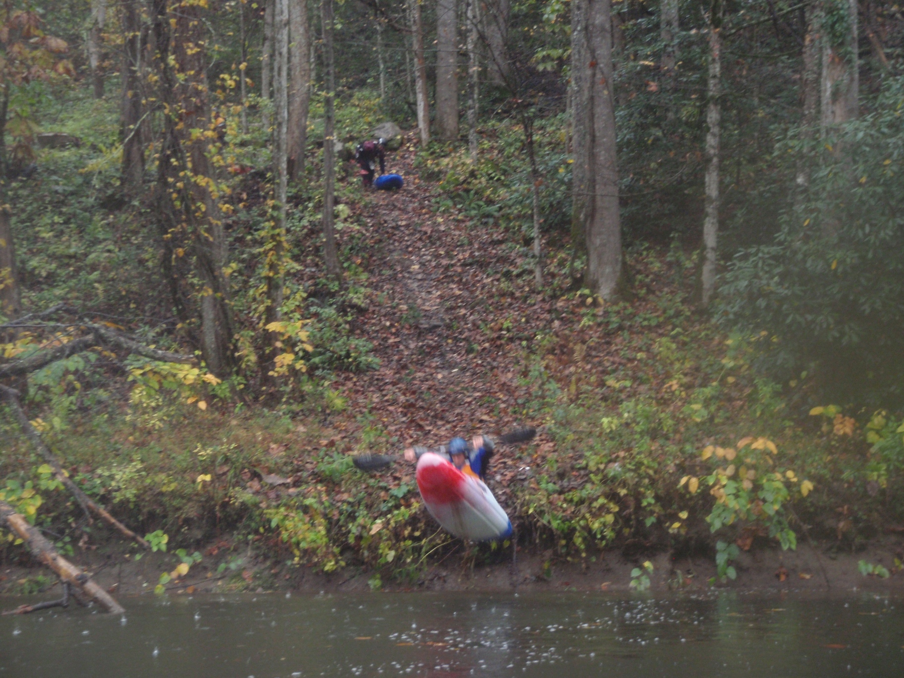
Alternate Hiking Shuttle for Laps: Immedaitly below Climax, you can get out on the left and climb up steeply to the railroad. There isn't really a trail, but it goes. Once on the rails, walk upstream for 2 miles. You will get to a tunnel, there is a trail down just before the tunnel which puts you in below Fist, across from the race start, or you can continue through the tunnel (bring a head light, it is wide enough to get to the side if a train comes), and then 100 yards after the tunnel look for the trail that drops down to the river. This puts you in just a quarter mile or so below put-in and gives you all the warm up rapids plus Towers and Fist.
- Kentucky State Line... no more drinking...
For more details on the run, see the AW write-up...
Take-out: Get yourself to Elkhorn City, Kentucky. From there, head east out of town on KY-80 (Patty Loveless Dr. In 2 miles, look for the road dropping quickly down to the river with a nice parking lot and whatnot.
Put-in: Continue East on KY-80 for 5.4 miles. Look for a dirt road on the right marked "Golden Hole" and turn right. Follow this dirt road for about a mile down to the river...
HTML Comment Box is loading comments...