
Gihon River (Upper and Lower)
| Stretch: | Whitcomb Island Rd to Beard Park |
| Difficulty: | Class IV to IV+ (2xV) |
| Distance: | 3.6 miles |
| Flows: | 1 to 4' on take out bridge. General correlation to the Lamoille is 1,300 to 2,800 cfs. USGS Lamoille River in Johnston gauge |
| Gradient: | 81 fpm average in the two gorges |
| Put-in: | Upper: Whitcomb Island Rd, Lower: Rocky Rd |
| Take-out: | Beard Park near Johnson VT |
| Shuttle: | 3.8 miles, (10 minutes one-way) |
| Season: | Spring off snowmelt, summer and fall off of rain |
| Written: | © 2021 |
| Featured in Video A Wet State #158 | |
-
North East Road Trip 2021: Day 11 Afternoon
Technically this is two different runs. Let it Rain and AW both refer to the Lower and then say "you can go a few miles higher to run the upper, but they are separated by flat water." In real life, apparently no one does just the Lower. And the flat water is moving and goes quick enough. I would also say that the upper has just as many rapids as the lower and really just doubles the fun. I do not know why anyone would split them. I guess this is only because you can, that they are listed that way.
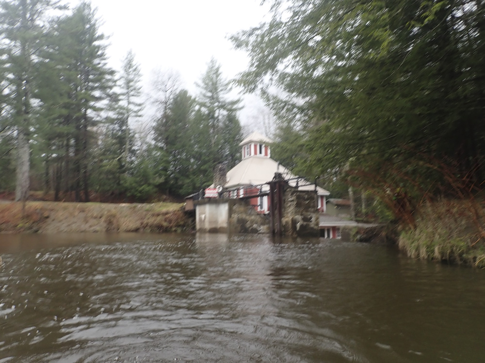
From put in, the stupid thrills start right away with a 30 foot tall dam that you run. Scout on the right to ensure there is no wood. Below, the bedrock nature of the river appears immediately with a nice ledge. This is then followed by a long sliding rapid that runs down the right wall. A few more nice drops leads you to Mustang which should be scouted on the right as the hole at the bottom of the long drop is sinister. We all walked it, but others that day ran it without scouting... twice, so I was told. Immediately below the river opens into the wide valley and you paddle the moving flat water down to the Lower. Along with Mustang, there is one more class V drop, the first drop of the Lower. However Bed-Head had wood in it our day necessitating a quick portage. Below, a few nice ledges are to be run, perhaps this section is a smidge easier than the Upper, up until that is you get to the rapid just upstream of the Covered Bridge at take-out. This rapid is every bit on par with the upper half's rapids and offers a very nice ending to the run. Of course, now with the new parking and access, there is one more drop just around the corner but that is just a small ledge that doesn't have much to it.
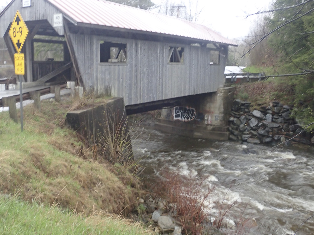
The gauge is on the covered bridge at take-out. We had 2'. AW calls that low/medium. Which surprises me. I would have thought it was a medium flow. I would be scared though at 3.5-4 as the holes would be powerful and the river littered with them. Apparently, this run does get too high off of rain so make sure you check the gauges etc. Also, AW correlates it to the Lamoille which the Gihon flows into just a few miles downstream. Apparently this is normally fairly accurate. But our day, we had the Lamoille at 3,150 cfs for our 2' lap, and AW says that the range is 1,300-2,800 cfs. So I guess the rain this day did not land as hard on the Gihon, or perhaps that is more of a snowmelt correlation. I do not know. But we were pleasantly surprised by the flow being in and were pleasantly surprised by the quality of the river!
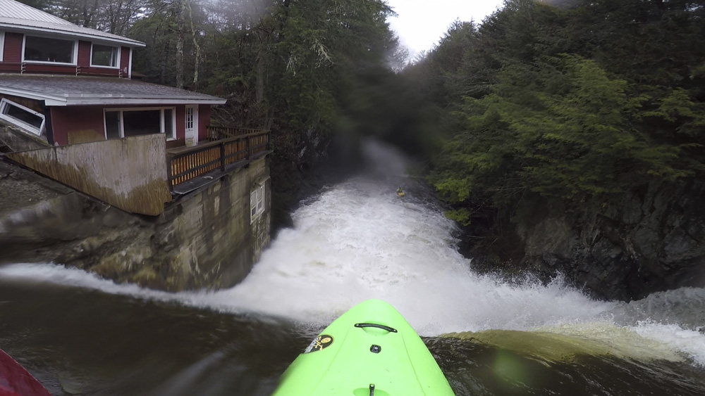
- Dam (IV). 30 foot tall dam that is realistically only class III at worst. Yes Please! I only give it a harder rating because you need to have your wits about you so you don't freeze and sit straight for the reconnect as it is a big enough hit that it could hurt your back if you are sitting upright and are unlucky. You want to run off the left side of the center pillar. Scout for wood. Then send your friends on their first lap off it blind.
- Right Boof (III). A sweet boof off the right shore in the first bedrock rapid.
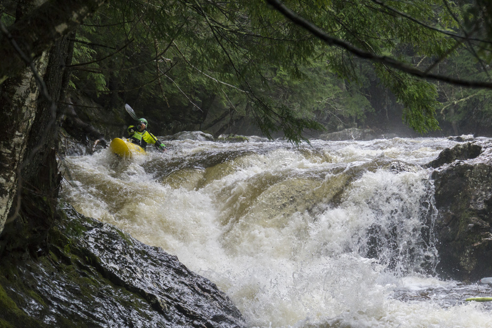
Ramp (IV to IV+). Just below is one of the better rapids of the run. An s-turning busy entrance leads to the main drop. Run the entrance right and then move far far right, on the shore for the final drop which ramps out against the right shore or is a more vertical ledge with a hole on the left shore.
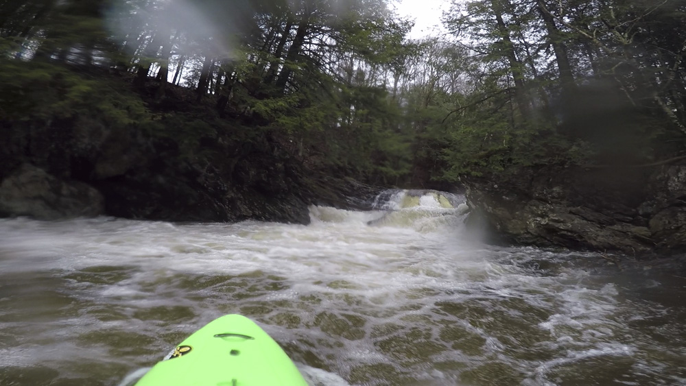
- S-Turn (III to IV-). The center channel moves hard right and then drops over a ledge onto the right channel which is moving hard left. Boof over the ledge to clear the hole. Just downstream is another small ledge that we ran far right. This then puts you at the top of Mustang.
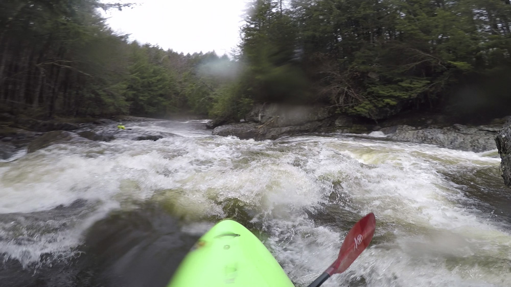
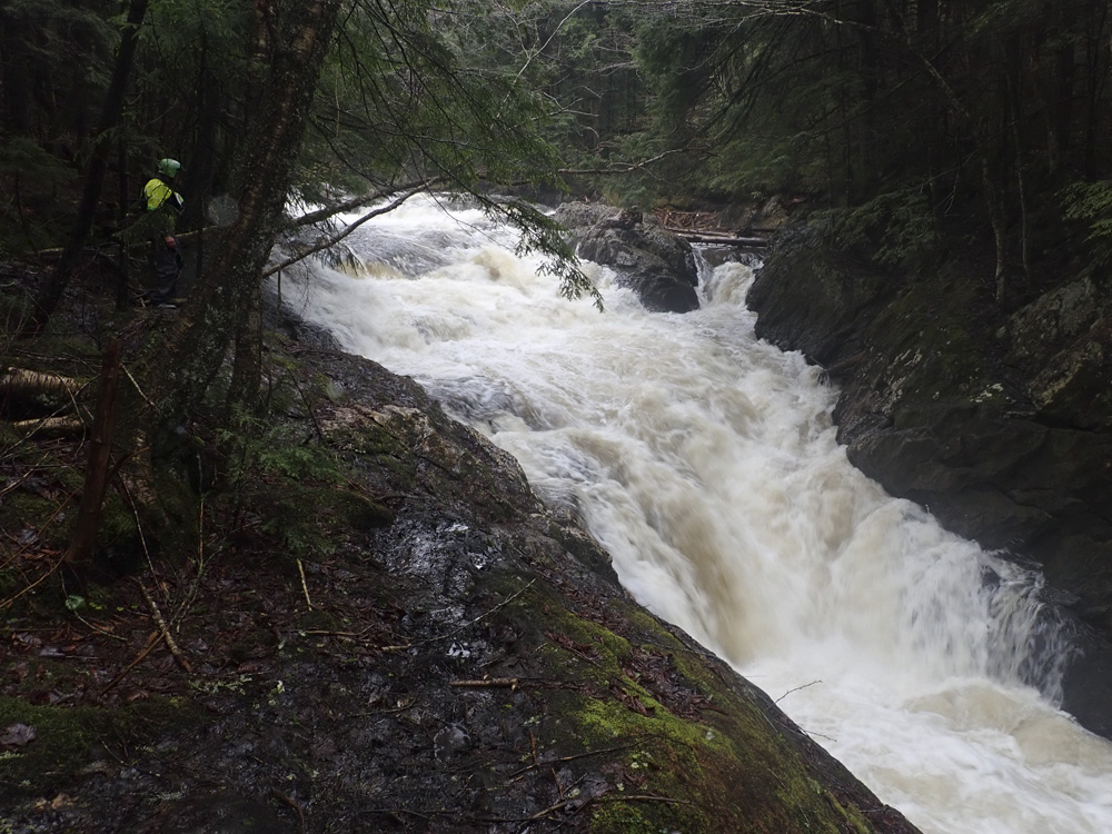
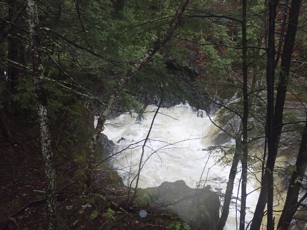
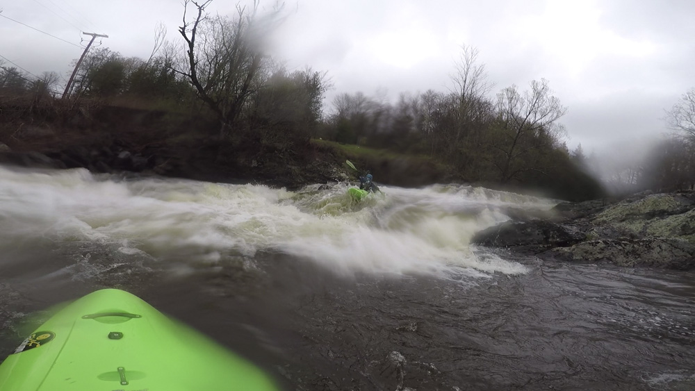
Mustang (V). Scout right from just below S-Turn. This is a long drop that has a big bad hole at the bottom. Apparently it boats better than it looks. It is a long slide that is chunky and then leads to a horsehoe ramp and hole that then has still water for the next 20 feet. If you don't plain out and clear the hole, it would be very bad. Good idea for safety for sure. If you don't like it, the walk is also on the right.
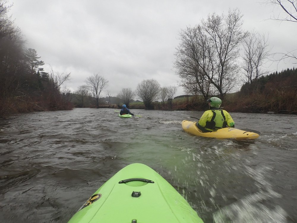
- Flat water that moves fills the time between the upper and lower runs.
- Covered Bridge: The covered bridge marks the lower's put-in if for some odd reason you really are only going to run one or the other.
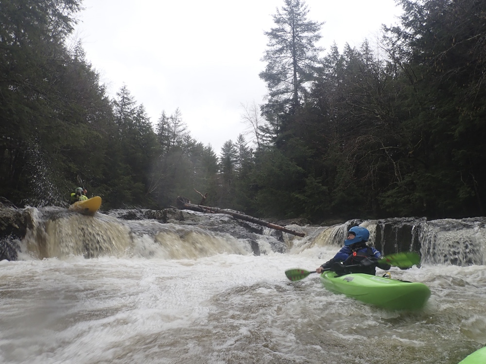
- Bed Head (V). A double drop where the water makes a 90 degree turn after the first drop before making the second drop. It looked straight forward though powerful. But we couldn't run it as there was no go wood in it. Scout and portage left.
Ledge (IV-). Immediately below was a ledge that we ran right of center.
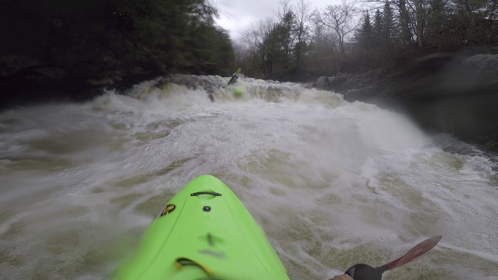
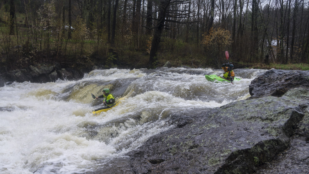
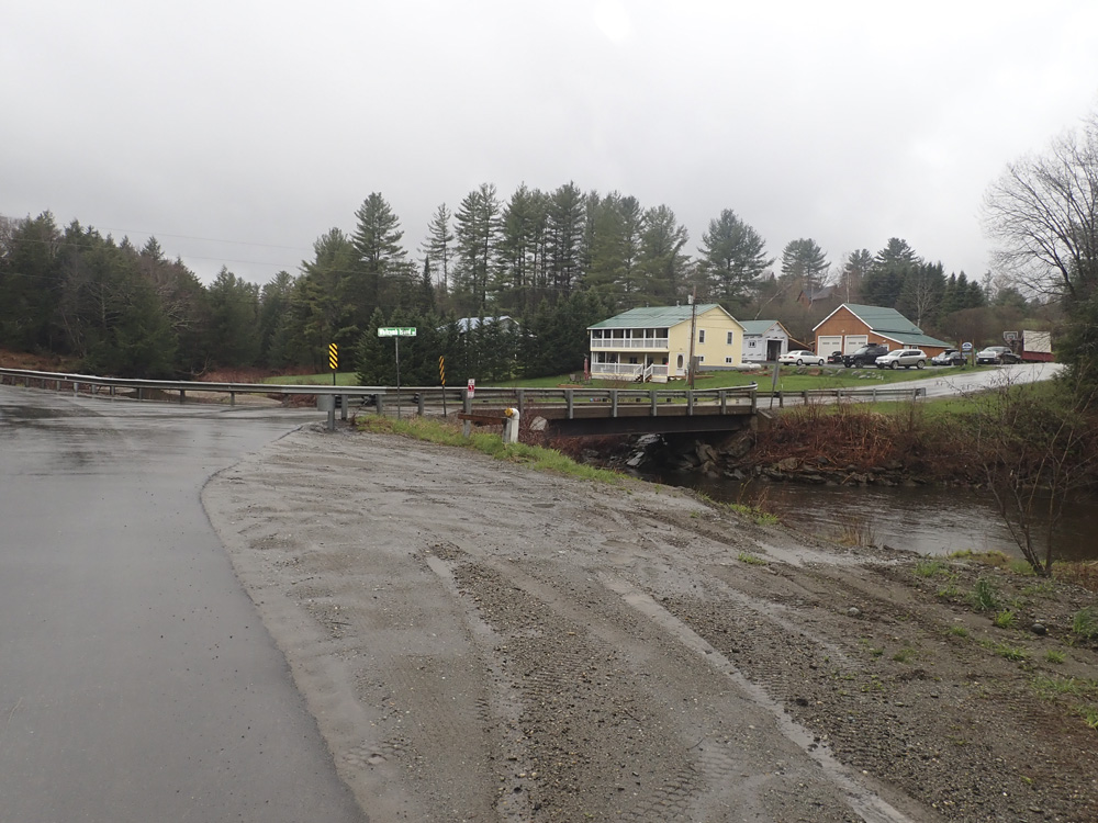
- Island (IV). You will see this from the bridge over the river on the main road. It is a fun multi-tiered drop. We ran the top one on the left and the bottom one on the left.
- House Drop (III-). A blind horizon is actually super straight forward. Run far right moving right in the main channel.
Boogie (II to III-). A little bit of boogie... some of the only on the run.
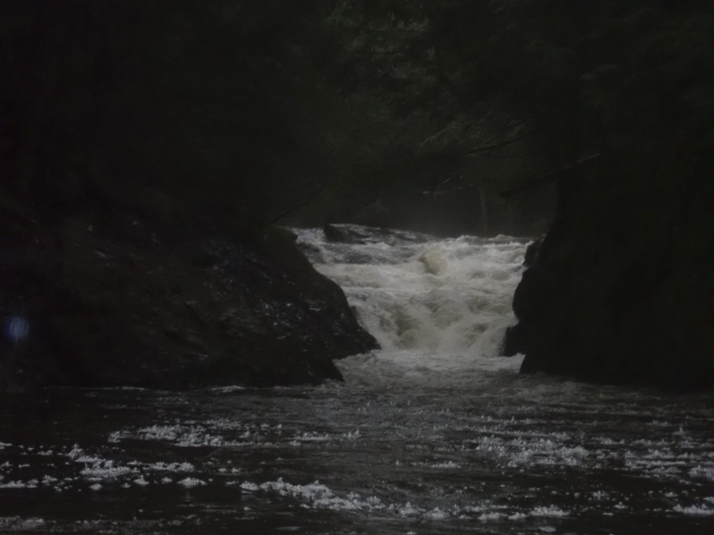
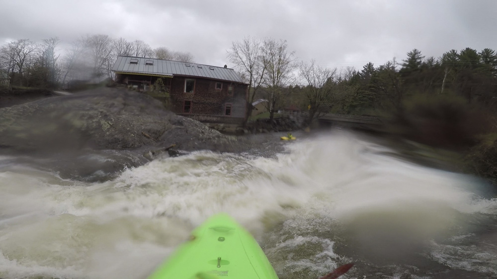
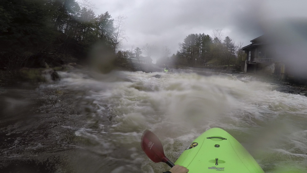
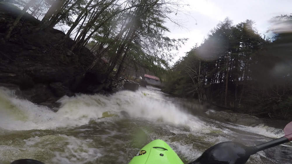
- Covered Bridge Drop (IV to IV+). Scout this while setting your shuttle. You can see it clearly from the Covered Bridge you drive through right near take-out. The line is sorta blind from above, but you want to find the fin of rock maybe 10 feet off the left wall and ride that down to its point to avoid the meat of the hole if you melt off early. Below are some small holes to punch.
- Take-out Rapid (III). A super straight forward ramp to be run a lot of places, we ran left of center.
Take-out: From VT-10 in Johnson, head north on VT-100C for 0.4 miles. Turn left onto School Rd at the covered bridge and on the other side, park at Beard Park.
Put-in: Continue up VT-100C for 1.1 miles. If you just want to do the lower turn right at this point onto Rocky Rd and go to the covered bridge at the T in 0.4 miles to access the river. If you want to do the upper, continue on VT-100c for 1.2 additional miles to a right turn on Whitcomb Island Rd. Follow this for 1.4 miles, cross the river and park on the left.
HTML Comment Box is loading comments...