
Daddy's Creek (Canyon)
| Stretch: | Peavine Rd to Devil's Breakfast Table Bridge |
| Difficulty: | Class III to IV |
| Distance: | 6.7 miles |
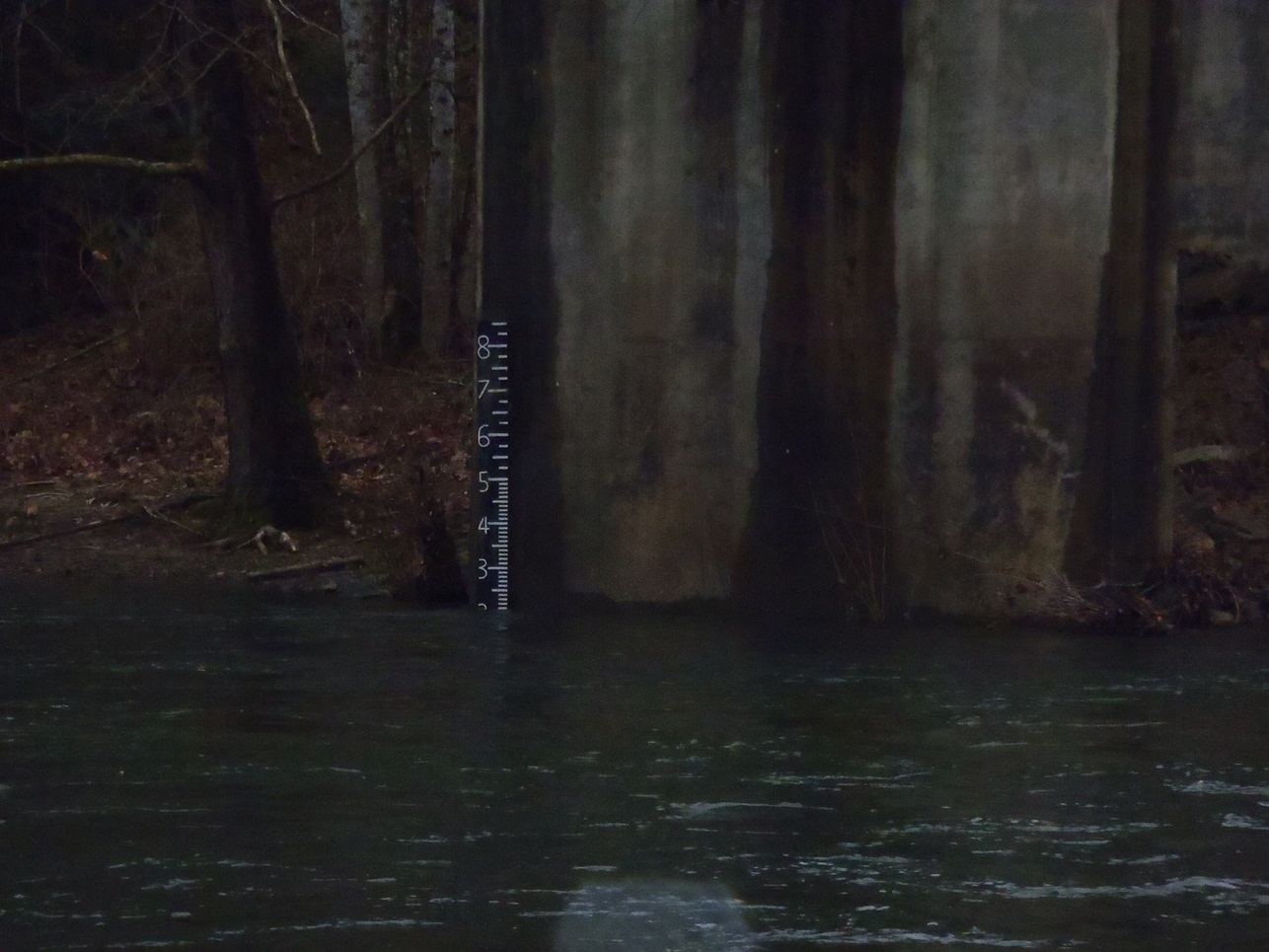
| Flows: | 1.4 to 3 for "normal" range. Or +4 (gets run higher, but if it is higher, rarer options are in, and is substantially harder). Check out American Whitewater's current flow gauge. |
| Gradient: | 40 fpm (71 fpm from mile 4 to 6) |
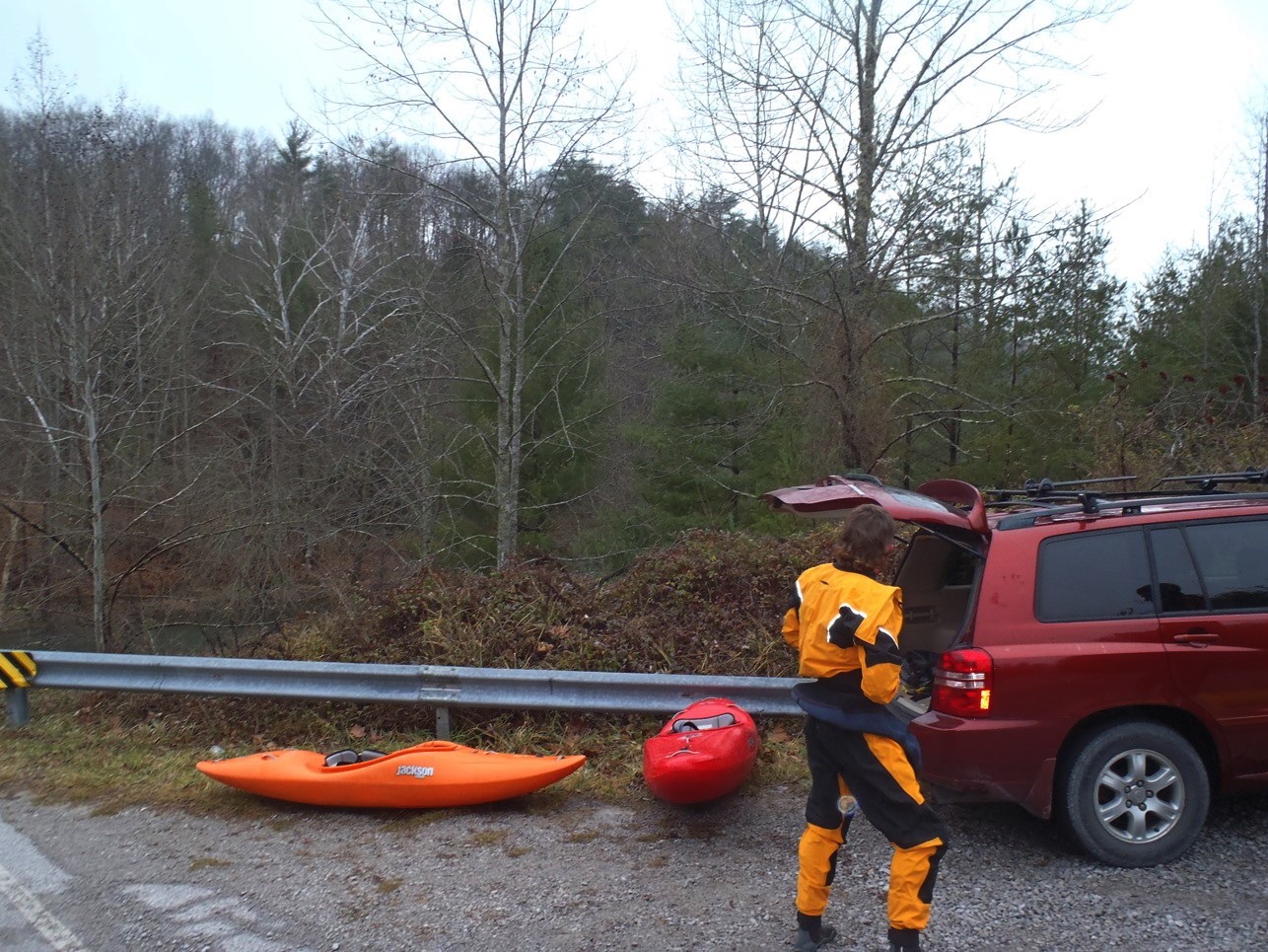
| Put-in: | Bridge on Peavine Rd |
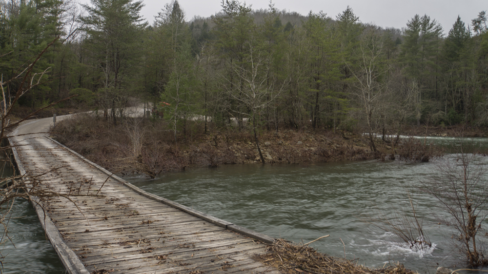
| Take-out: | Devil's Breakfast Table Bridge |
| Shuttle: | 8.1 miles (15 to 20 minutes one way, some mellow dirt at take-out) |
| Season: | Winter and Spring, rain |
| Written: | © 2014, 2015, and 2024 |
| Featured in A Wet State's contribution toWorld Kayak's Video Guide | |
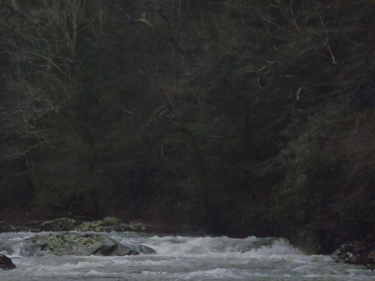
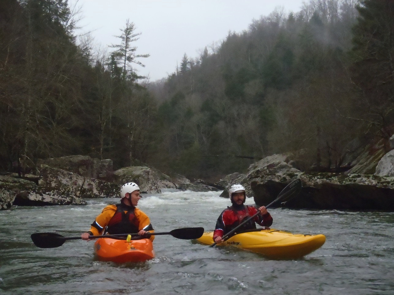
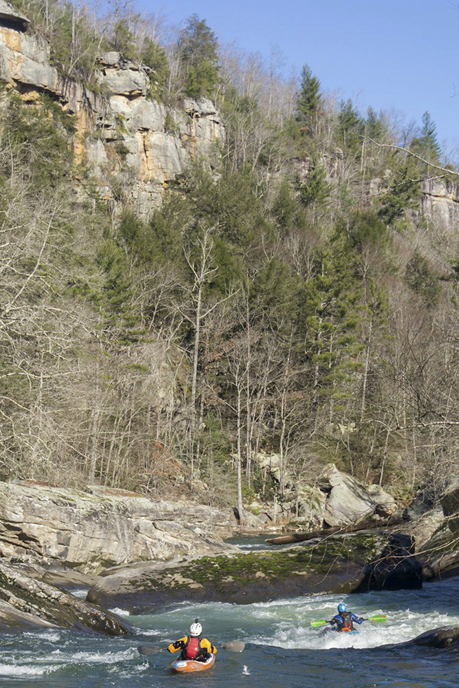
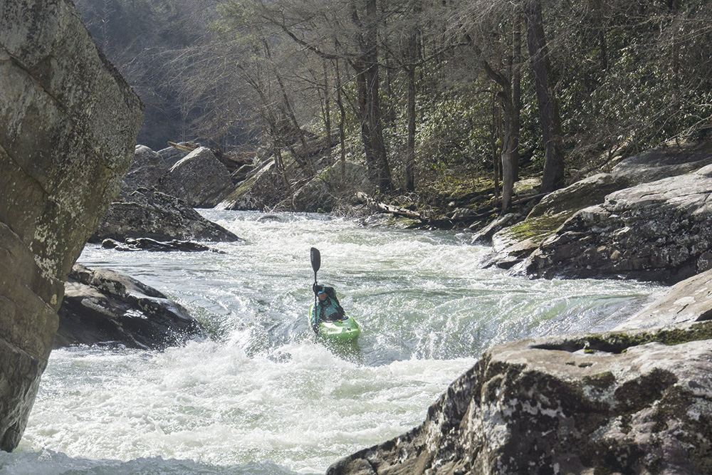
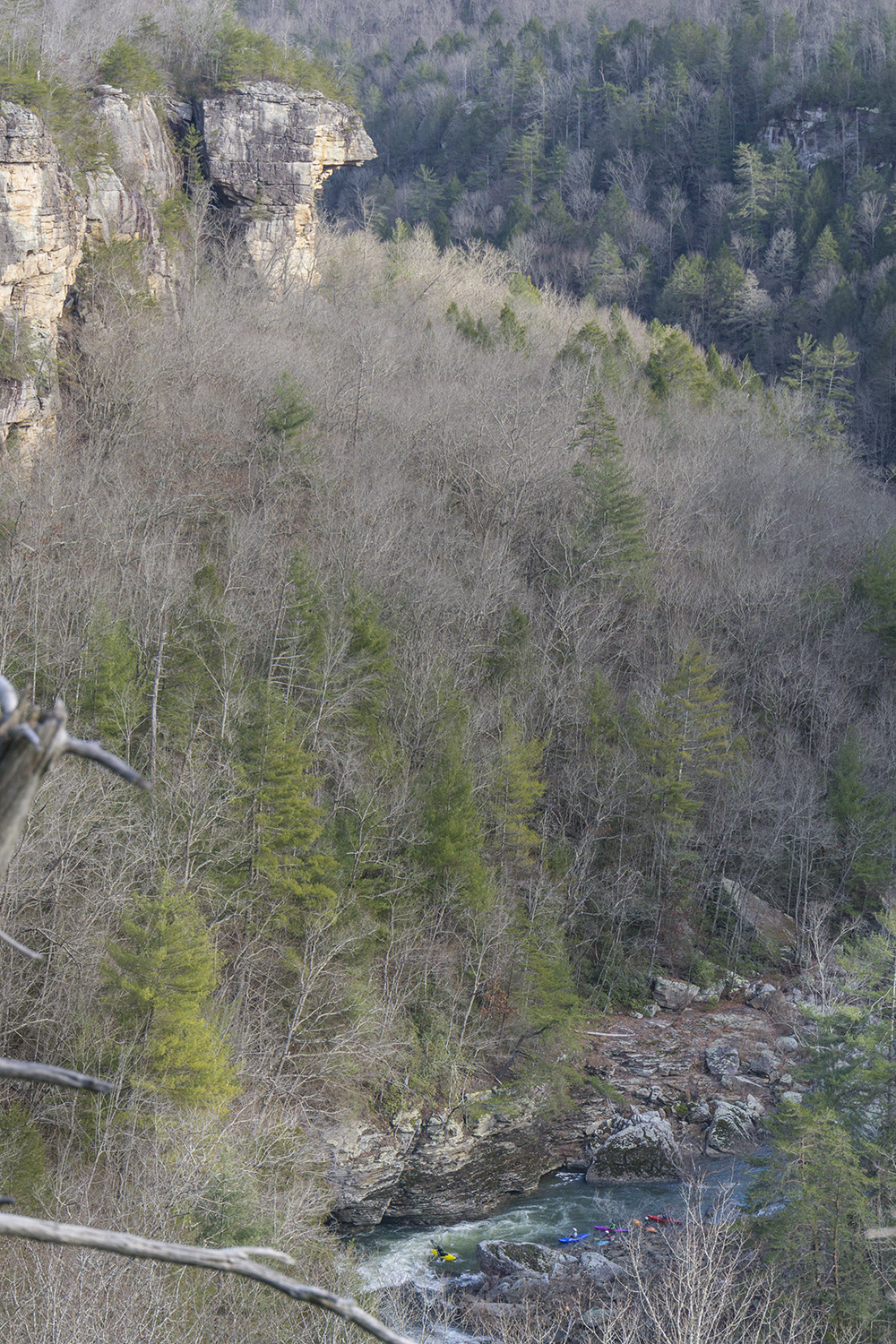
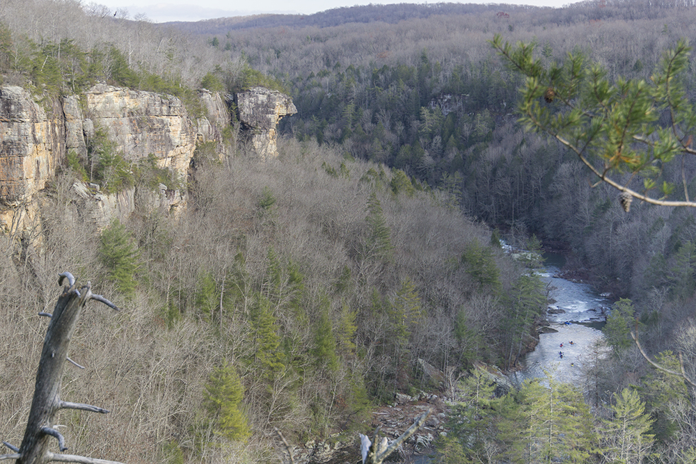
A Knoxville area classic, with fun class III to IV and some of the best scenery in the area, with classic Plateau bluffs surrounding the river within their tight grasp. As we have only just gotten our first rains, I have only gotten a single descent of this section... but as it is a go to for the Knoxville area boaters I am sure I will be boating it more often and at a wider range of flows. At 2 feet I thought the run was class III+ though there certainly were a few hydraulics and a few sieves to keep things honest in there.
The downside to the run (which I am starting to think is a plateau trend) is that there is a paddle in of class I-II that lasts 4 miles. Normally this would just be a nice time to float and talk, but my one lap so far was an afterwork run so sprinting down the flat section trying to race the sunset was a bit of a drag. Also, if the water is up a little more, Yellow Creek offers an alternate and entertaining way to get to the top of the good section of Daddy's. I have to make sure I eventually get on that as well.
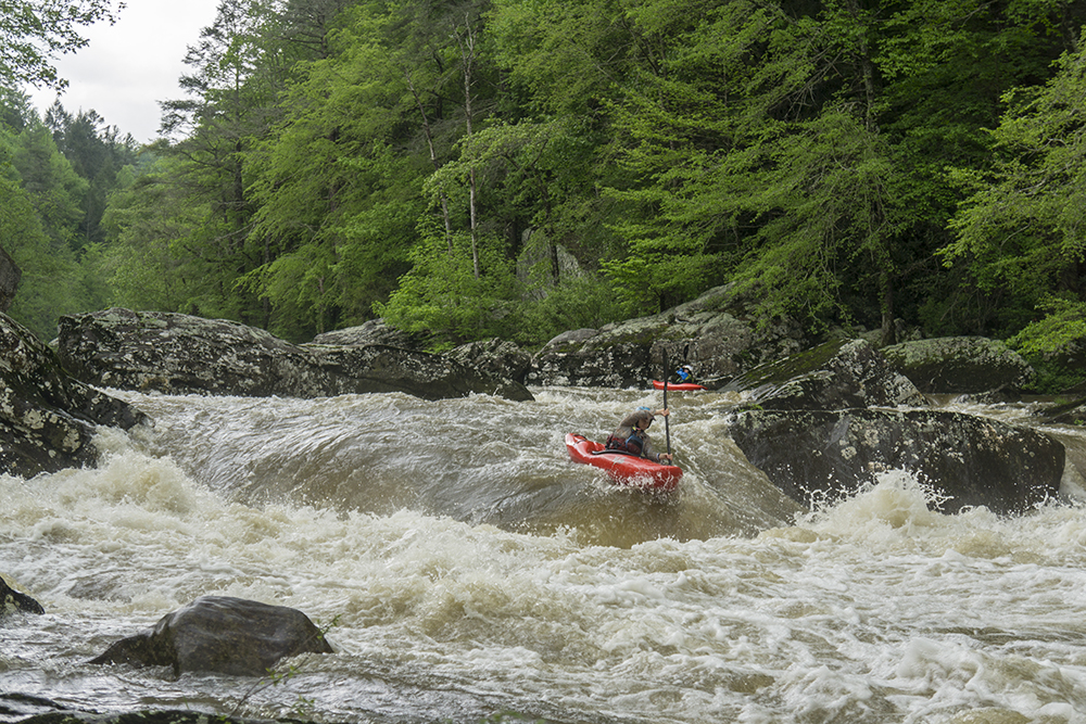
Jim told me that folks run this high, at 4 to 5 feet... and higher is certainly possible though if the flow is up that high, people head to other rain fed creeks. I can imagine the rapids in the canyon get boiley and a few holes would want to be avoided as well... but I also imagine all things considered it holds its water quite well... the one I think that may not is Rattlesnake. But that is just me thinking outloud.
So... until I get back and update this with more information, I will leave it at that. I know there were more rapids, but as I landed in Atlanta at 2 am and drove 3.5 hours to Knoxville the night before my memory is hazy so I will update the rapids when I go back.
Update 2024: I added a few extra notes of rapids below. I apparently need to do a better job at taking pics of other rapids as well. I also wanted to update the closure timing of Catoosa. As of 2018 it is now open at all times other than the Winter Closure period from February 1 to the last Friday in March. During hunts, there will be signs saying "closed for hunt" but kayakers are permitted to enter to use the take-out.
Mi 1.8:
- First Rapid (III). The first rapid has a few fun moves to make if you are so inclined, entering center and going to the right around a mid-river piece of bedrock before ferrying back to the left and boofing the hole. Or you can just stay left.
- Yellow Creek enters on the right, meaning you are almost done with the paddle in!
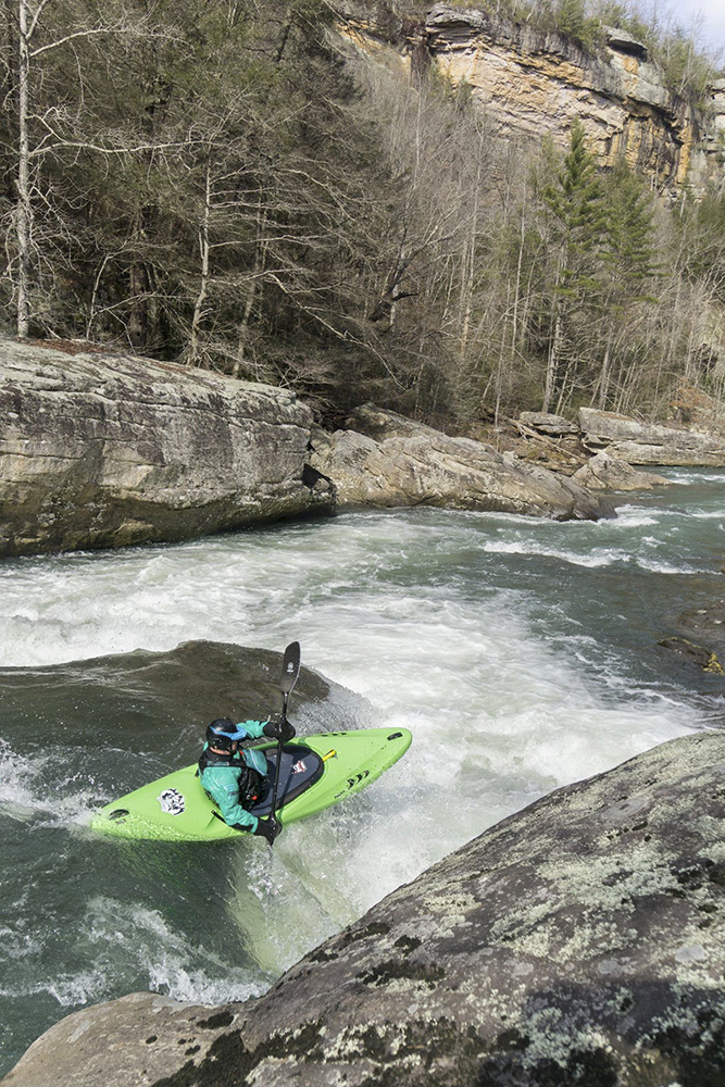
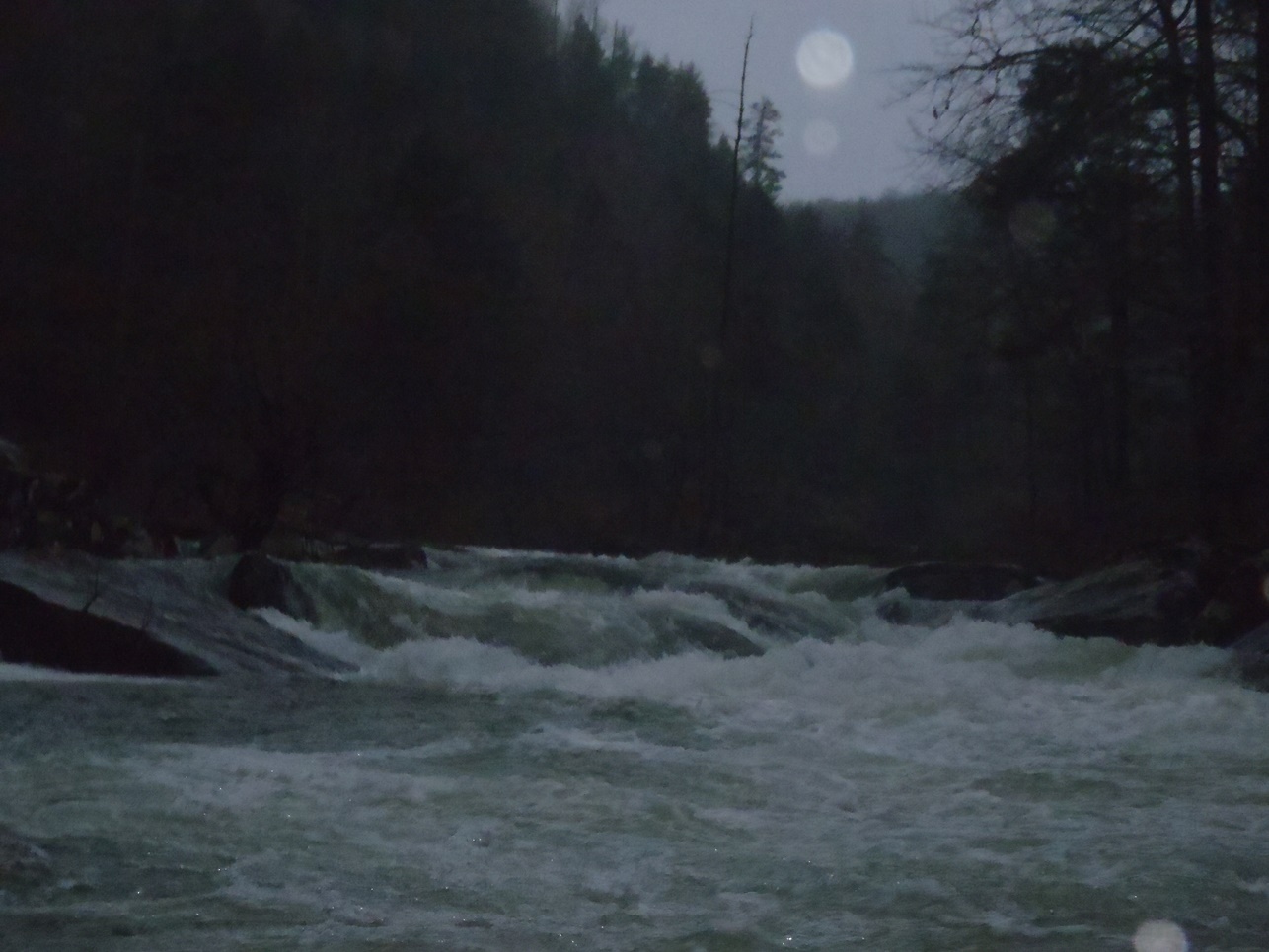
- The rapids start and continue at an even pace. I can't mark out specifically where each occurs on google earth, so just know they are pretty evenly spaced out. I also only remember a few that stuck out in my mind. I am sure as I run it more I will be adding to this write-up.
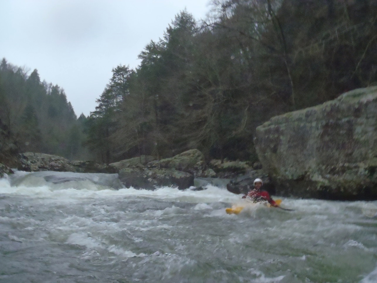
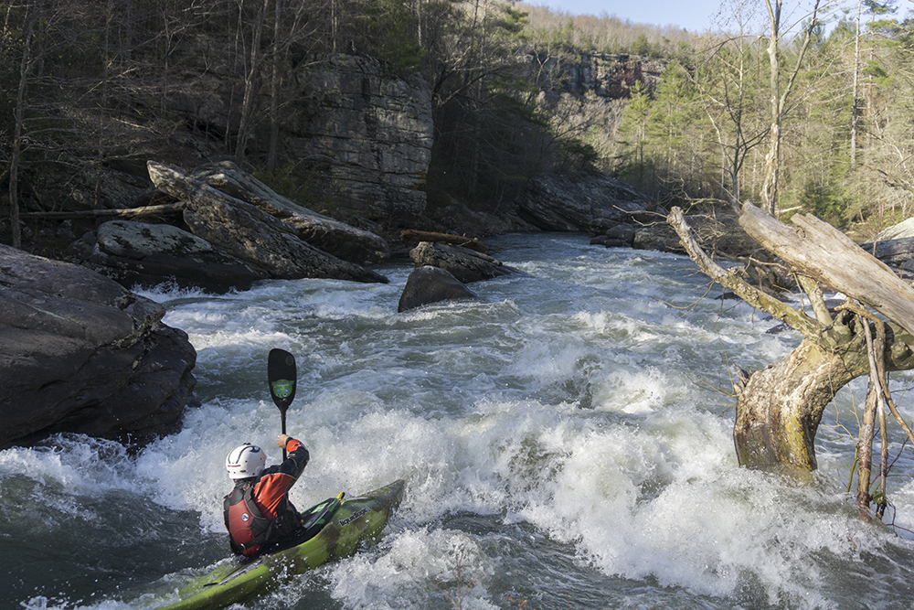
Spike (III). The first rapid of the gorge, this rapid is comprised of three consecutive rapids. The bottom one is a bit more tricky than the other two where you just follow the water. The last one instead needs to have some right to left momentum to carry away from the wall and the hole that builds a pocket against the wall.
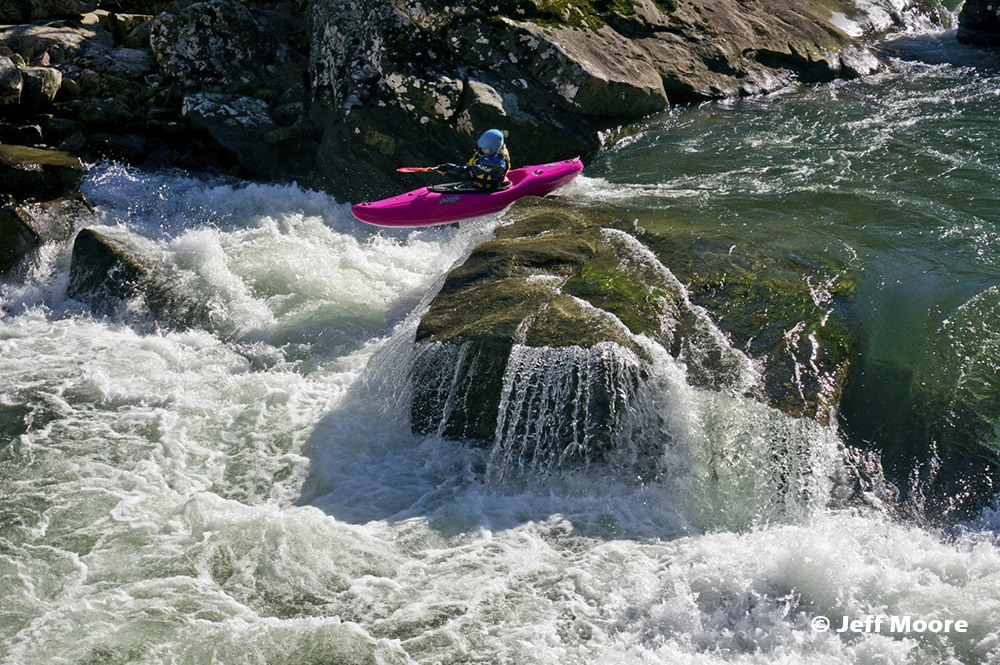
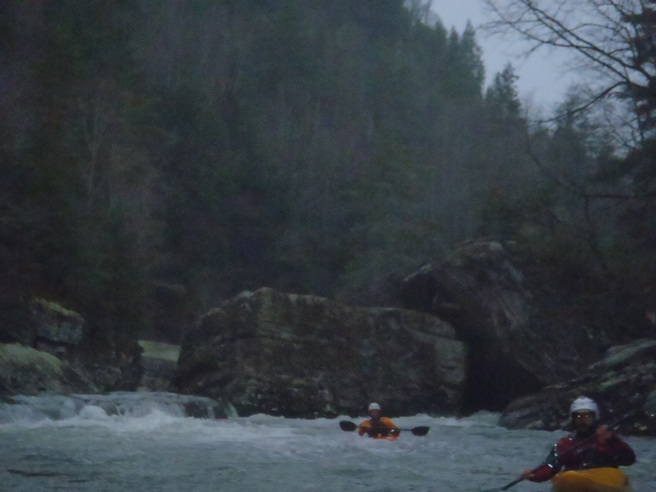
- Rattlesnake (III to IV-). After one or two lead in rapids comes the signature rapid of the run. The river drops over a hole and enters a tight boily channel with most of the water heading left in a serpentine fashion around left to right. When it moves back right there is a horizon line ("Fang") that can be boofed middle over the 3 foot drop.
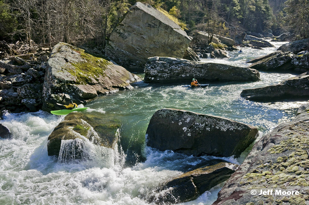
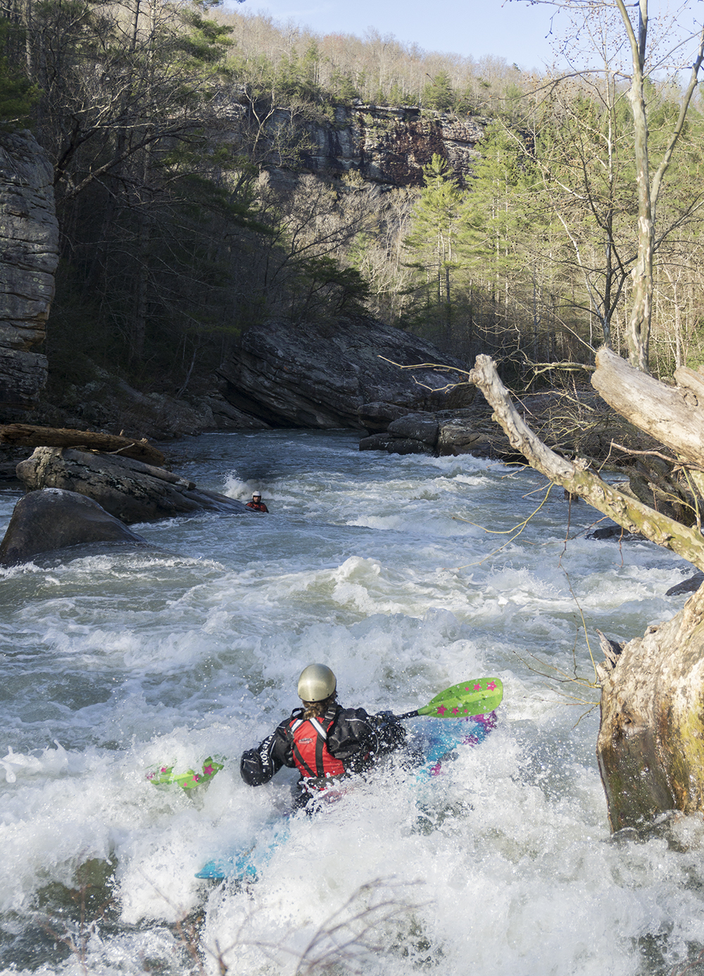
- Rocking Chair (III to IV). A cool rapid where the river splits, we went down the left channel, but stayed far right and drove into the current coming from the right and boofed a hole.
Between the major rapids are some nice inbetween rapids
Wall Shot (III). Avoid the left wall, its easy to stay right... just make sure you do.
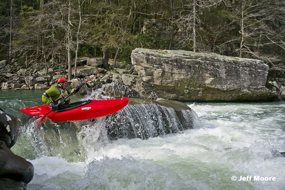
- Slides (III to IV). My favorite rapid of the run, the river had some nice boogie leading to a blind slide on the far right side. We ran far right and dropped through a nice fluffy hole.
Boogie (III to IV-). There is a sequence of 3 or 4 nice boogie rapids. They all have fun moves to make. One is a slide that can form a bigger hole on the left, another has some big ledged holes in the middle that can be boofed at lower water, and two are just mellower read and runs.
- One Last Hole AKA Little Jaws(III).. After the boogie rapids you get to a brief rapid where the river slides off a ledge and forms a rather sticky hole. You can skirt it far left if you realize in time. At low flows the hole is fun to boof over.
- Exit (III). An easy rapid, but just stay left. The right channel where most of the water goes is rather rocky and flows into a bad undercut. This is the one time where you don't want to follow the main current.
For more details on the run, see the AW write-up...
Take-out: There are ways that are ~5-10 minutes faster... but this is by far the most direct. Consult google maps to find the faster (but with like 10-15 turns) way into take-out. Take-out 40 out of Knoxville heading West and go to Crab Orchard and take exit 388 for Crab Orchard. Go right and cross the train tracks and turn left on Main St (nice gas station diner there with some decent food I am told). Take your first or second right on Hebbertsburg Rd. You end up following this road for 37 miles to take-out. Though there are some turns made to stay on the rd. One notable one is at a Y where the main road actually changes names and you need to go left at the Y. Just keep your eyes open. Update 2024: In the past 10 years I have stopped using the other approach and began using the quicker approach. Note google will lead you astray on this and have you take a road you can't actually drive as it is deep mud and overgrown usually. On 40, take exit 340 for Airport rd. Go North for 1.4 miles before turning left on Golliher Road. After 0.8 miles go right at the Y to turn on Smith Mountain Rd. Follow this for 7.3 miles, IGNORE GOOGLEMAPS which will tell you to turn right on Tom Davidson Rd, instead, continue straight for another 0.5 miles before turning right on Hedgecoth Rd. Go 1.2 miles and turn left on the dirt road Hamby Rd. Follow this for 1.8 miles to Hebbertsburg Rd, turn right at the T and immediately enter Catoosa Wilderness. Go 1.1 miles on dirt road before turning left at a 4 way intersection. Follow this for 2.5 miles down to the parking area before the broken bridge.
Put-in: Head back out Hebbertburg Rd. After 2.6 miles turn right on Nemo Rd which according to google maps quickly changes names to Hebbertsburg Rd. This road crosses the optional put-in on Yellow Creek if you are so inclined and it has water. Or continue for a total of 4.9 miles and turn right on Peavine Rd which quickly crosses Daddy's Creek. Put-in here.
HTML Comment Box is loading comments...