
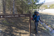
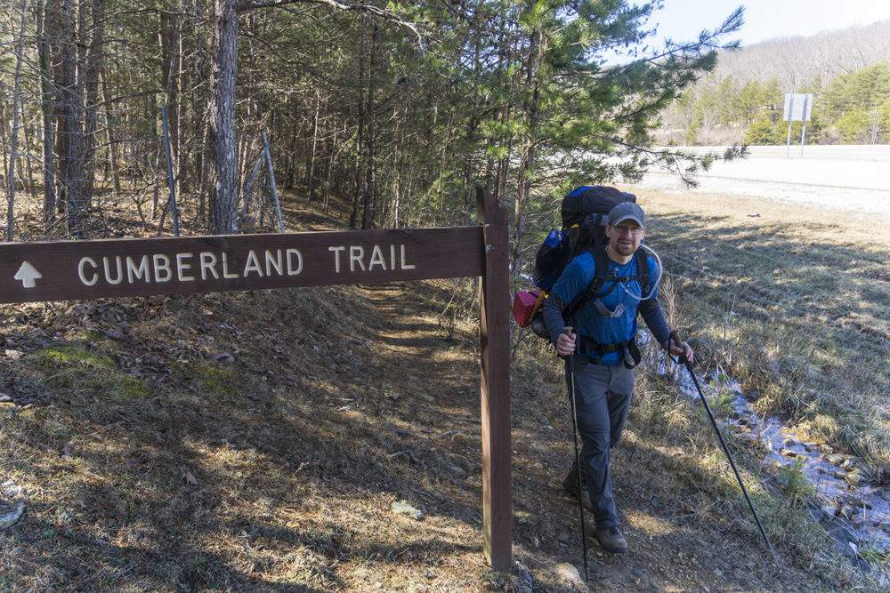
Three Gorges Segment
| Section | Sub-section | Miles | Elevation Gain South to North (ft) |
Elevation Gain North to South (ft) |
GPX File (Right click, save as) | AllTrails Link |
| Three Gorges | Mowbray Pike to Lower Leggit Rd Trailhead (Full Segment) | 31.3 | 5,230 | 5,080 | Link | Page |
| "South" Soddy Creek Gorge: Mowbray Pike to Hotwater Rd | 4.5 | 560 | 760 | Link | Page | |
| "North" Soddy Creek Gorge: Hotwater Rd to Heiss Mountain Trailhead | 13.2 | 2,100 | 2,020 | Link | Page | |
| Possum Creek Gorge: Heiss Mountain Trailhead to Retro Hughes Rd | 9.5 | 2,070 | 1,620 | Link | Page | |
| Rock Creek Gorge: Retro Hughes to Lower Leggett Trailhead (Full Section) | 7.4 | 800 | 1,840 | Link | Page | |
| Rock Creek Gorge: Retro Hughes Rd to Upper Leggett Trailhead Connector | 4.9 | 550 | 1,230 | Link | Page | |
| Rock Creek Gorge: Upper Leggett Trailhead Connector | 0.5 | 315 | 0 | Link | Page | |
| Rock Creek Gorge: Upper Leggett Trailhead Connector to Lower Leggit Rd Trailhead (Lower Spur) | 2.6 | 240 | 610 | Link | Page | |
| Rock Creek Gorge: Upper Leggett Trail to Lower Spur (Upper Spur) | 1.7 | 180 | 740 | Link | Page |
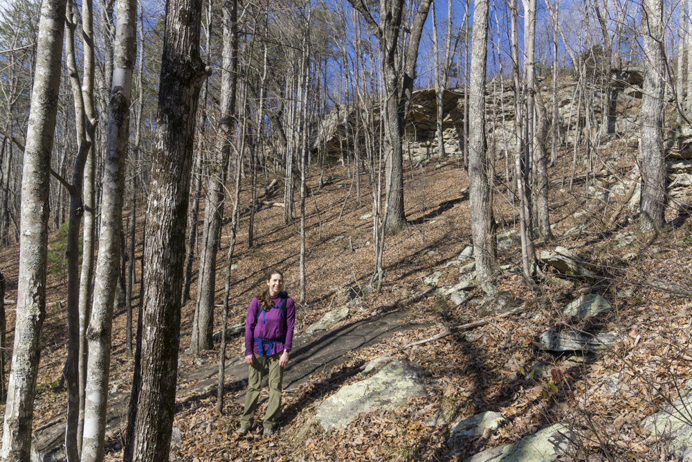
"South" Soddy Creek Gorge: Mowbray Pike to Hotwater Rd
- Stars: ★ ★ ★
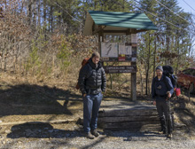
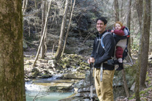
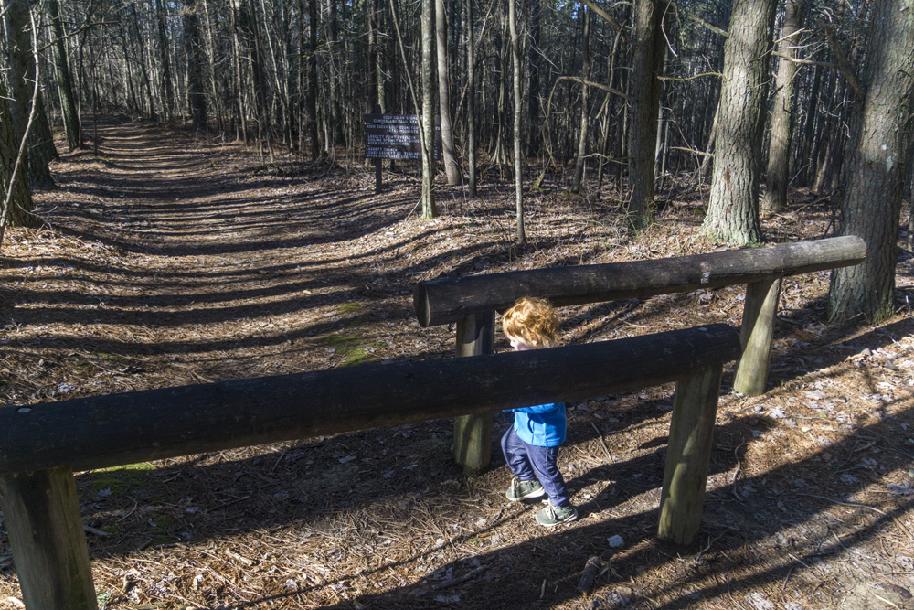
- Access: Small "Mowbray Pike Trailhead" parking lot off of Mowbray Pike (Location: 35.2549, -85.20255) on the South End. Note that this is also access for a bouldering location. On a 30 degree winter morning we found the parking lot full at noon and had to park using 4 wheel drive up on the hillside in the parking area. I am unsure what options there are for overflow parking. On the north end is a small lot on the Corner of Hotwater Rd and Sluder Lane (Location: 35.28149, -85.19386).
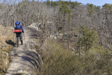
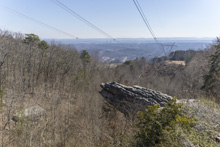
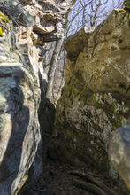
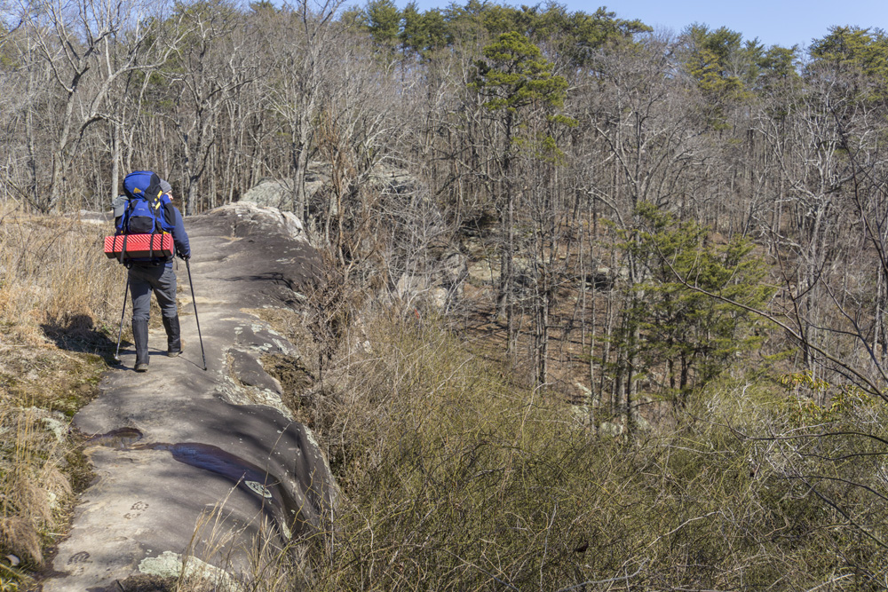
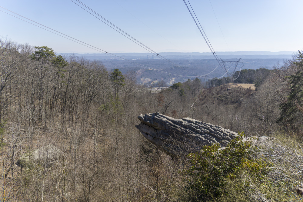
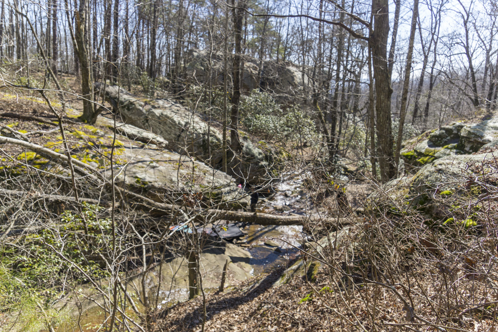
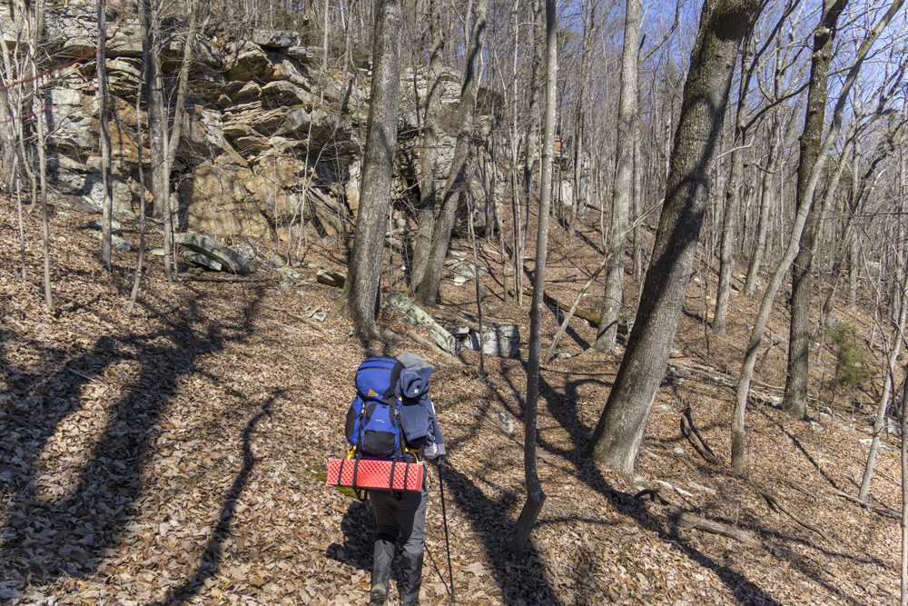
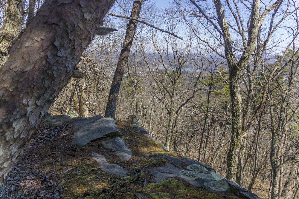
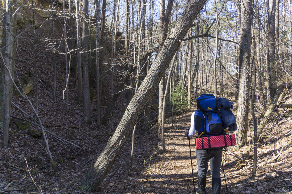
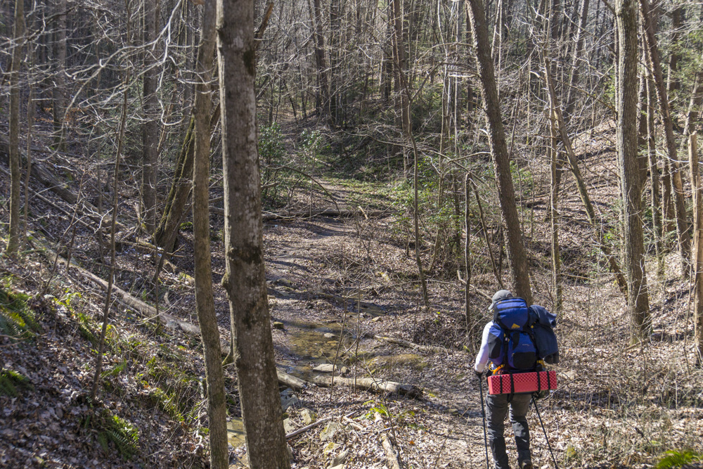
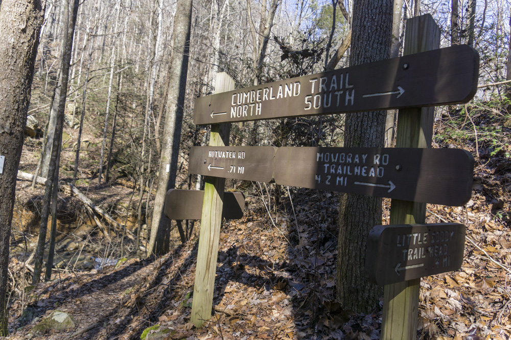
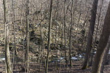
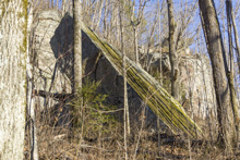
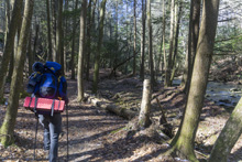
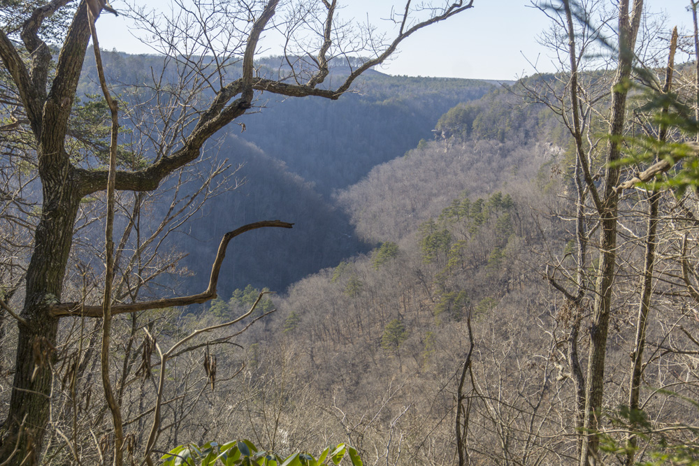
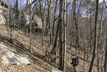
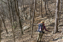
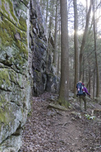
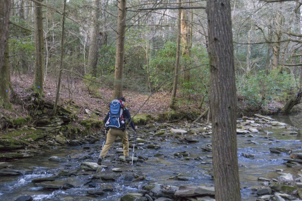
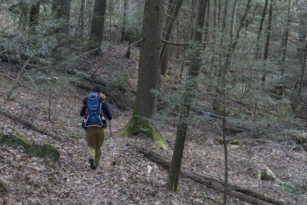
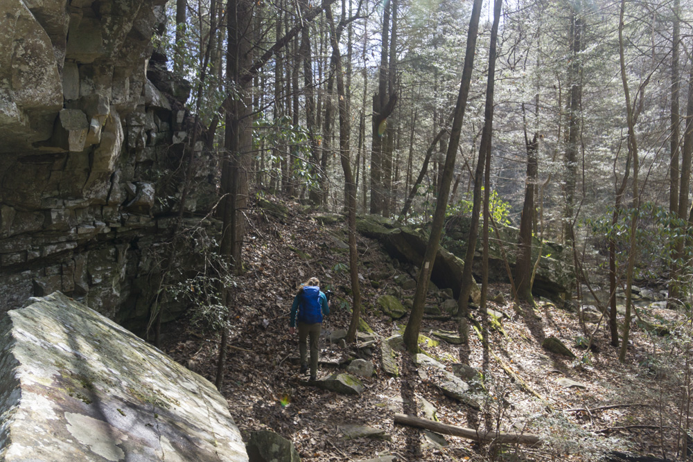
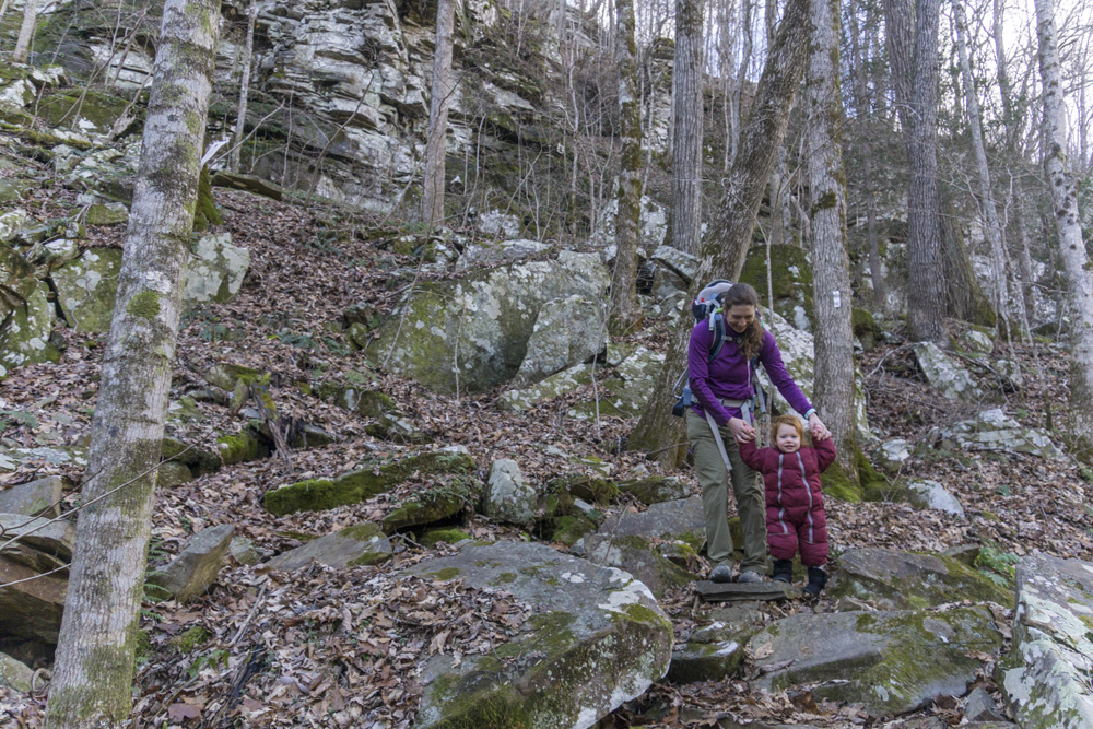
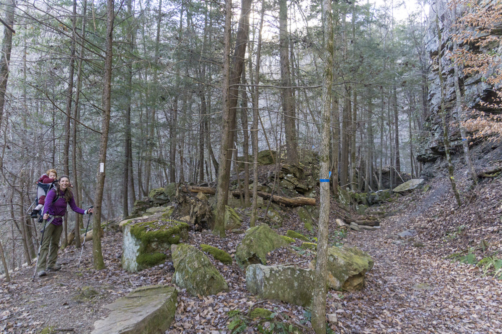
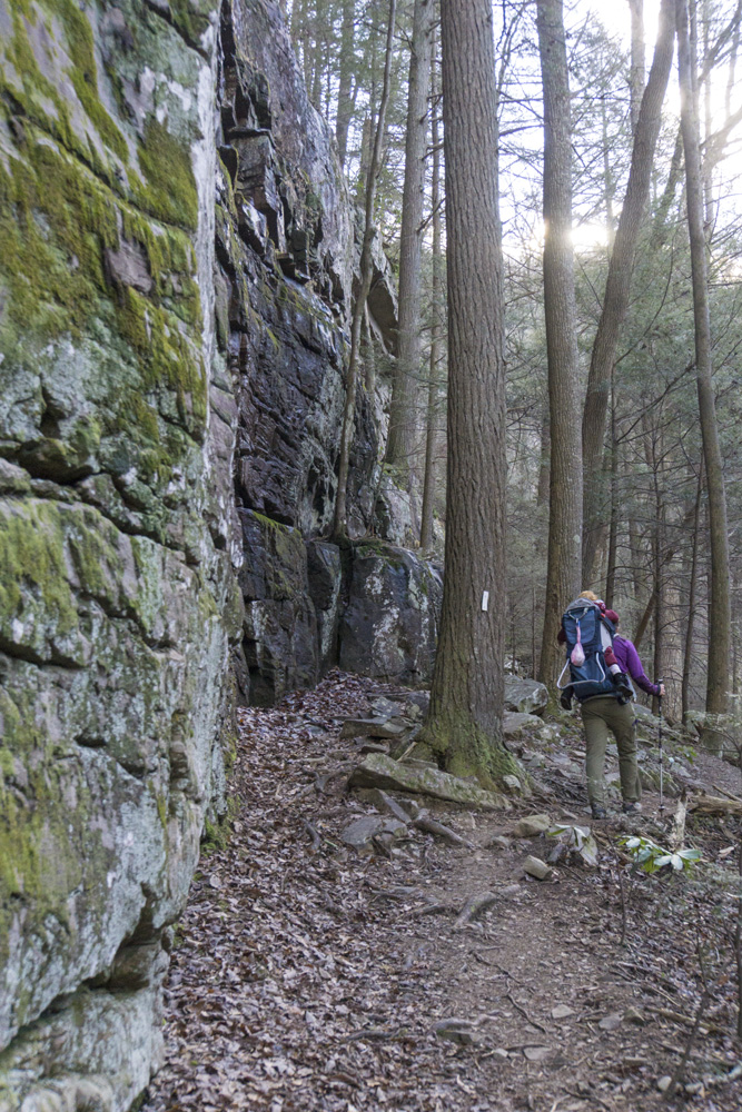
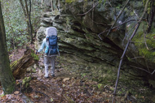
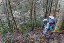
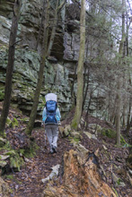
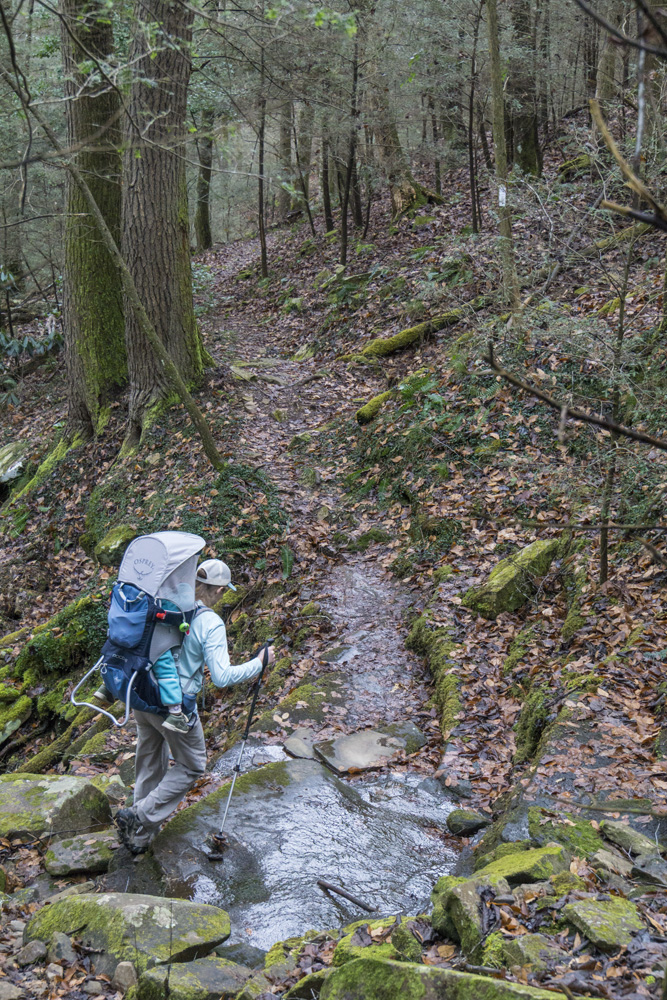
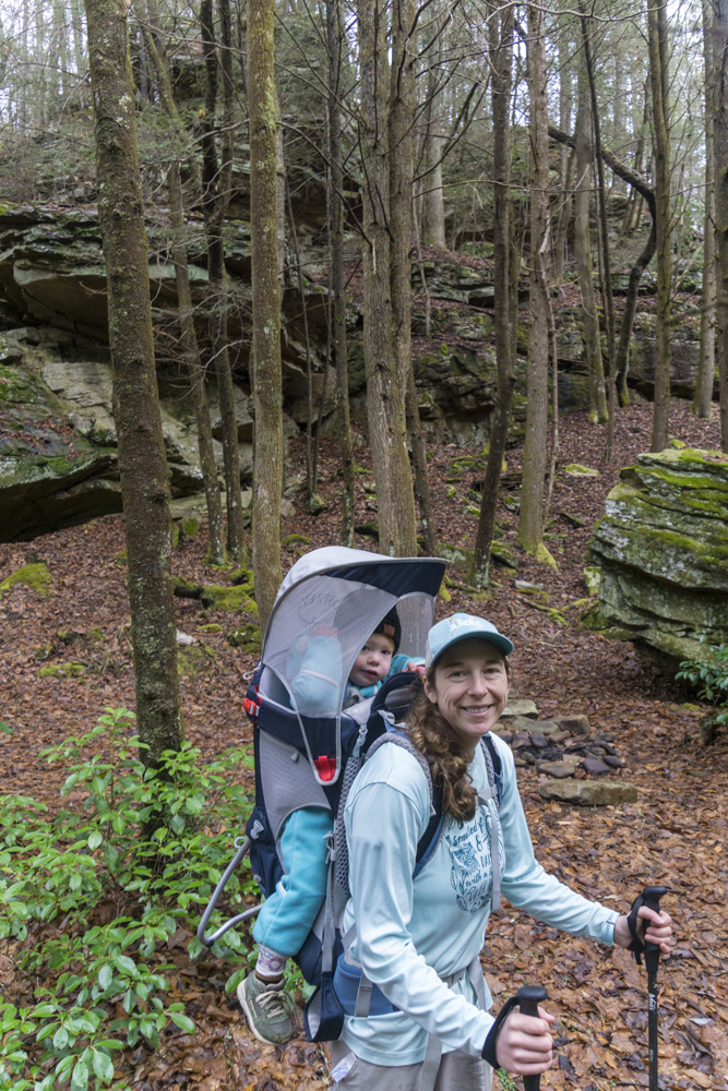
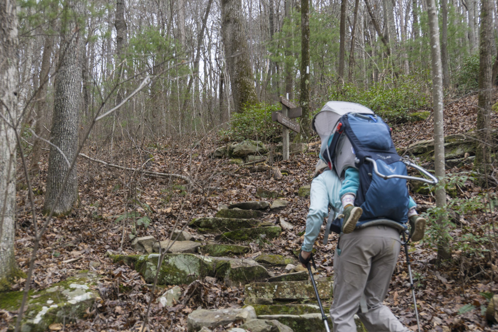
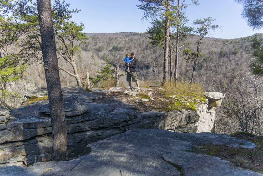
- Description: The first mile starts off with a bang here. A clear cut provides a wonderful view of the valley below (minus the powerlines) before you cross a small creek and enter a bouldering zone. Our day numerous groups were climbing these boulders, with the sound of the creek running directly beside them. This then takes you to a nice bluff line that eventually finishes the first mile by climbing to the top of the bluff line for a ridge walk. This ridge walk continues for 2.5 miles, and has nice obstructed views of the valley on the right and nice flood channels to the left that are an interesting geoligical feature to observe. As you near the corner and round to Little Soddy Creek you climb up away from private property to the next layer up. Here the trail is in one of these flood channels, but it is a unique setting for the trail and very enjoyable. At mile 3.3 you descend down to Little Soddy and continue hiking up it to the junction at mile 4.1. Turn left and follow blue blazes 0.4 miles to the Hotwater Rd Trailhead. Or turn right and cross the stream to continue into the "North" Soddy section.


"North" Soddy Creek Gorge: Hotwater Rd to Heiss Mountain Trailhead
- Stars: ★ ★ ★
- Access: On the southern end is a small lot on the Corner of Hotwater Rd and Sluder Lane (Location: 35.28149, -85.19386). On the North end, to access the Heiss Mountain Trailhead you have to do a road walk and cross the highway via an overpass to connect the "Heiss Mountain Trailhead" parking area (Location: 35.34597, -85.17506) on Heiss Mountain Rd and the North Soddy Creek Section.
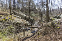
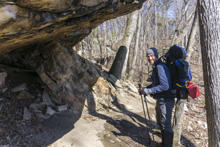
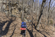
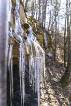
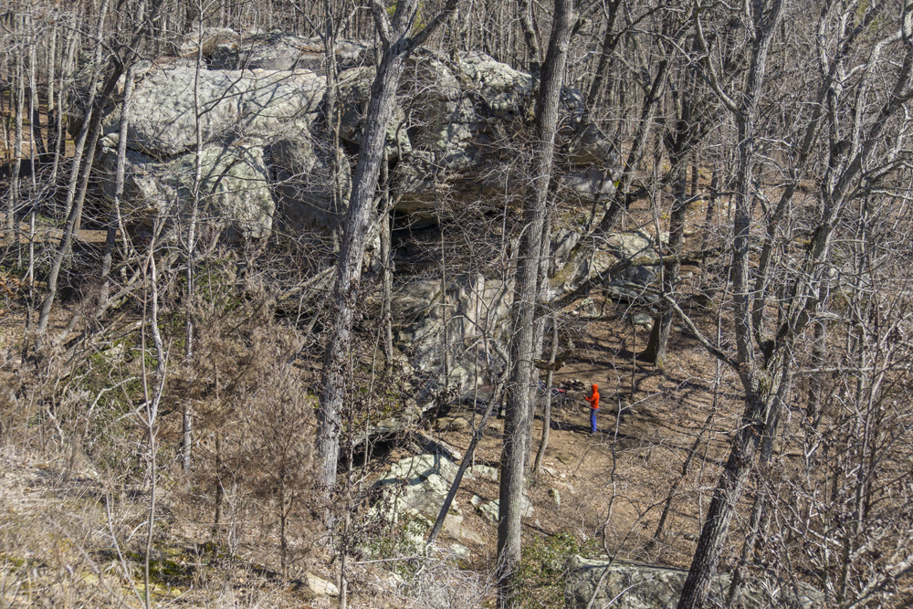
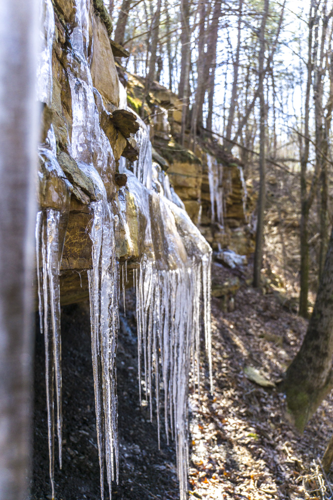
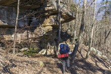
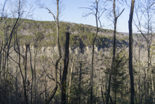
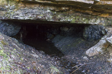
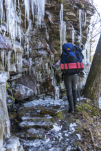
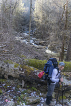
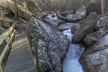
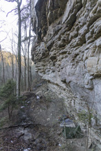
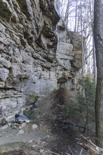
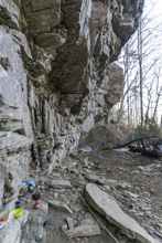
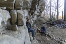
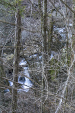
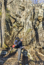
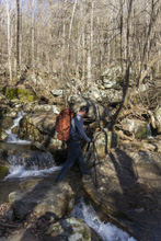
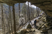
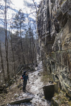
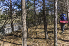
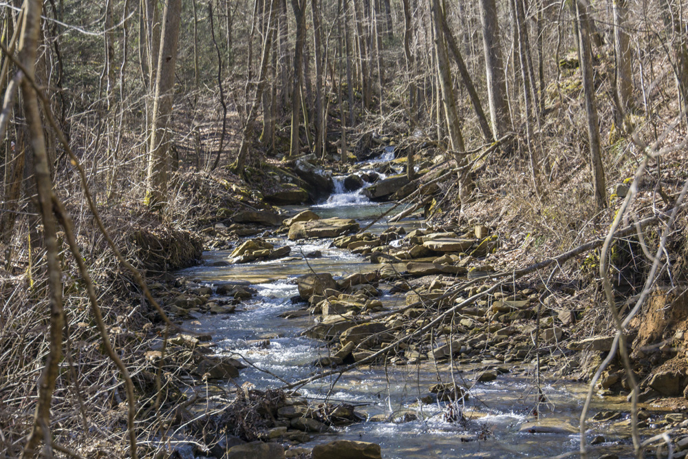
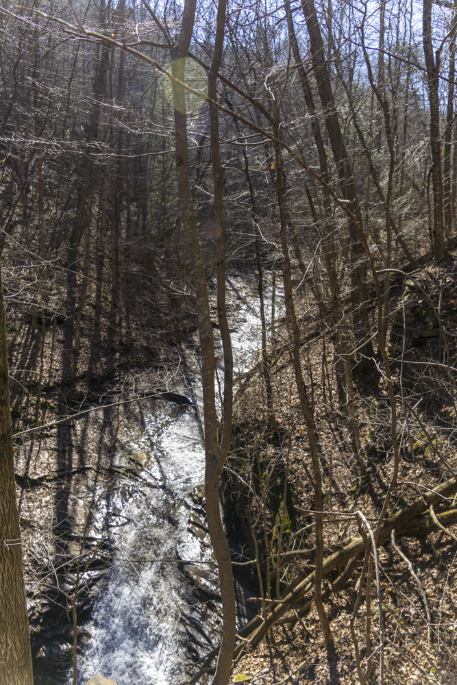
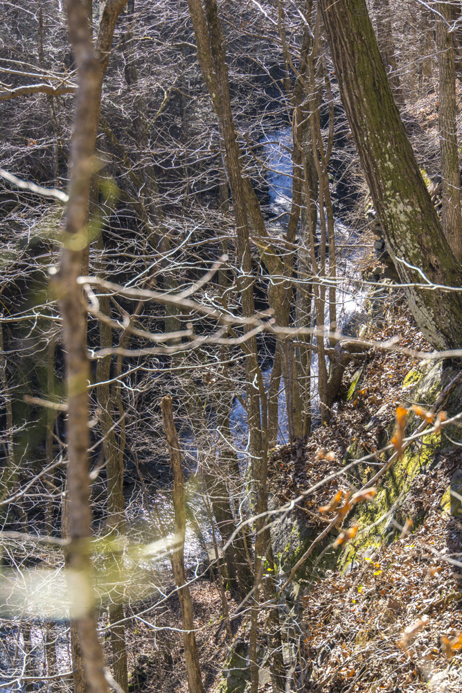
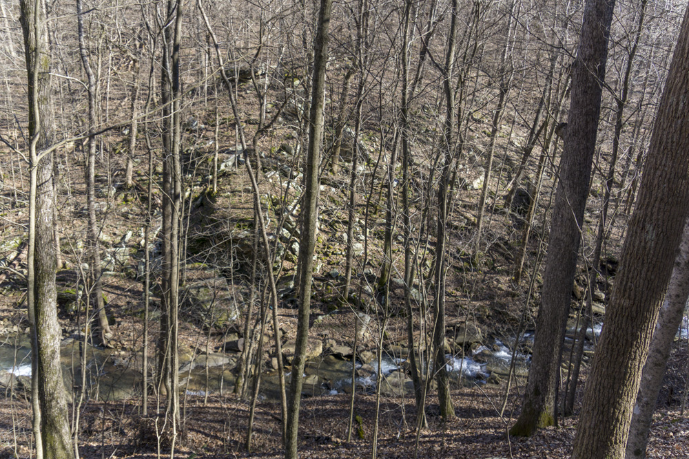
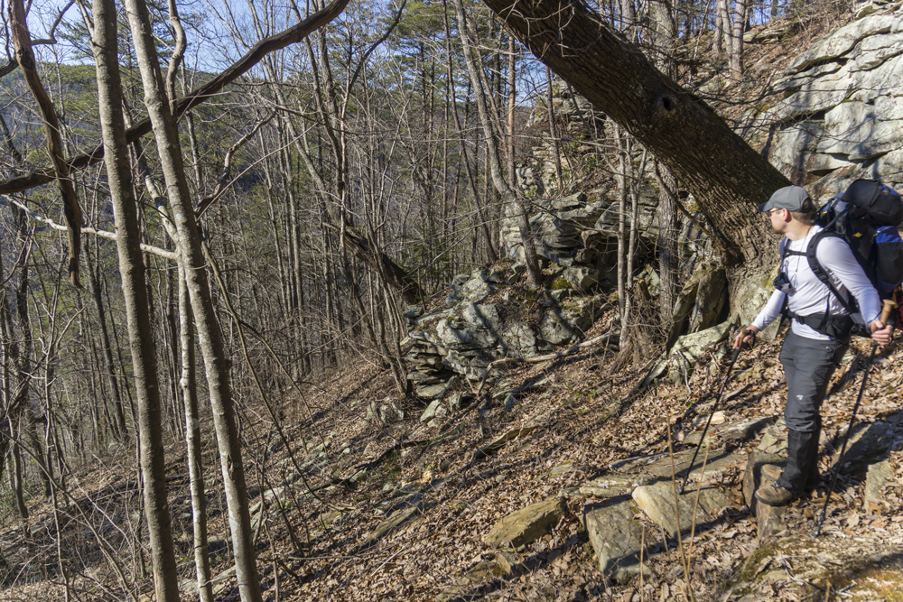
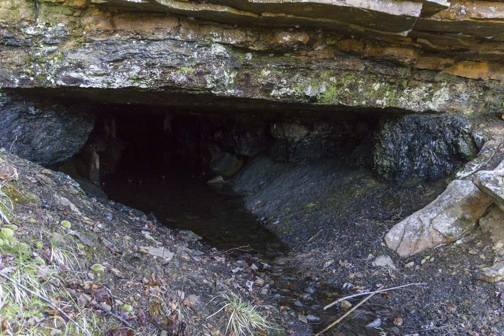
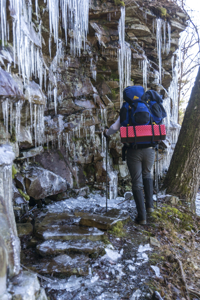
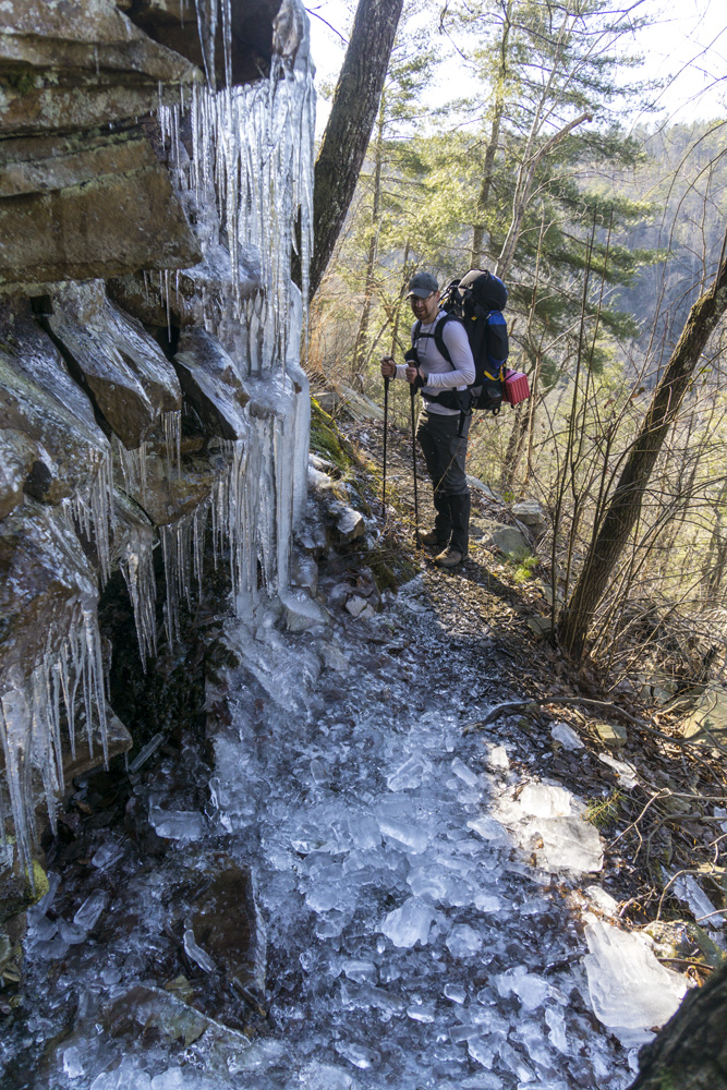
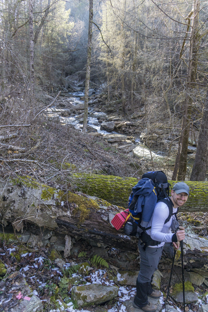
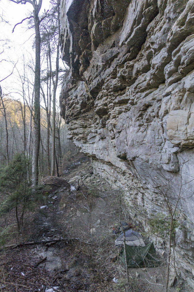
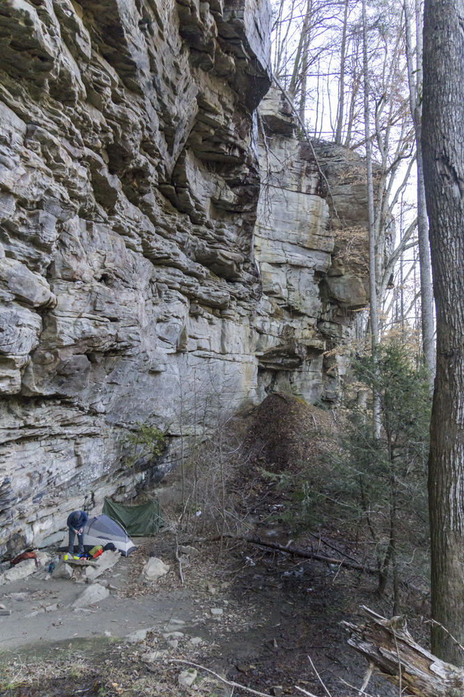
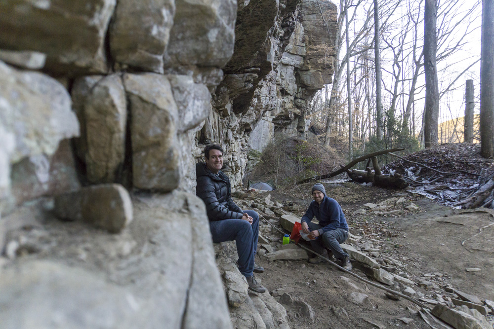
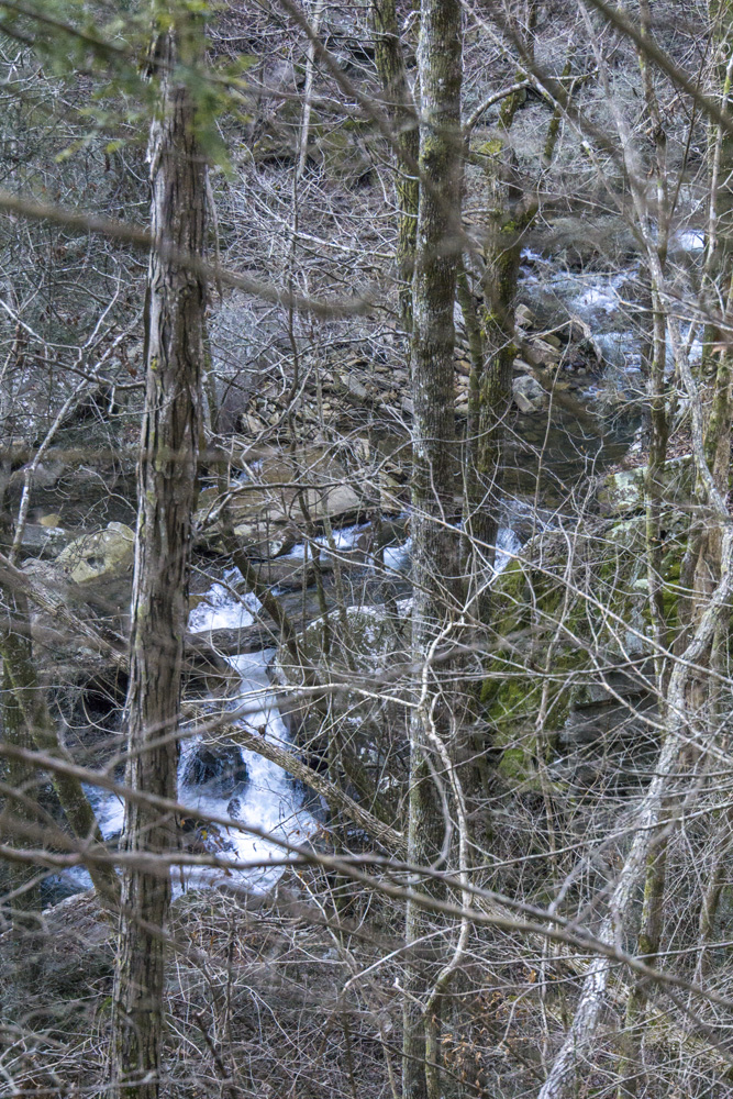
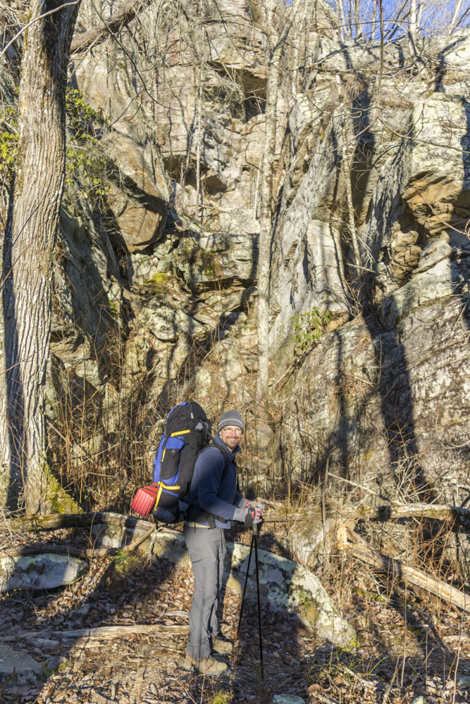
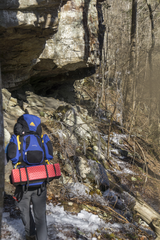
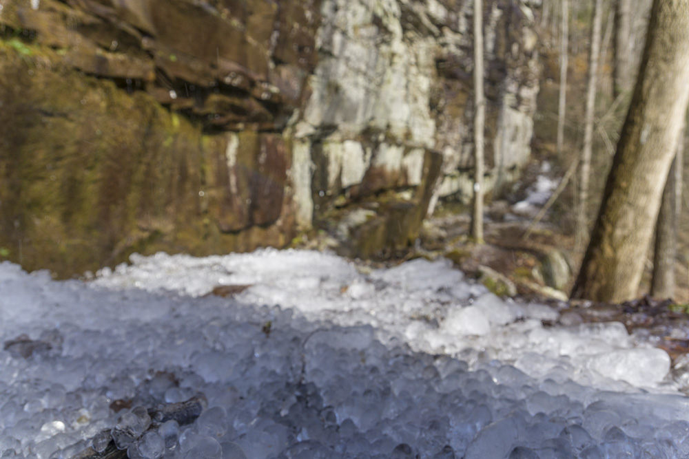
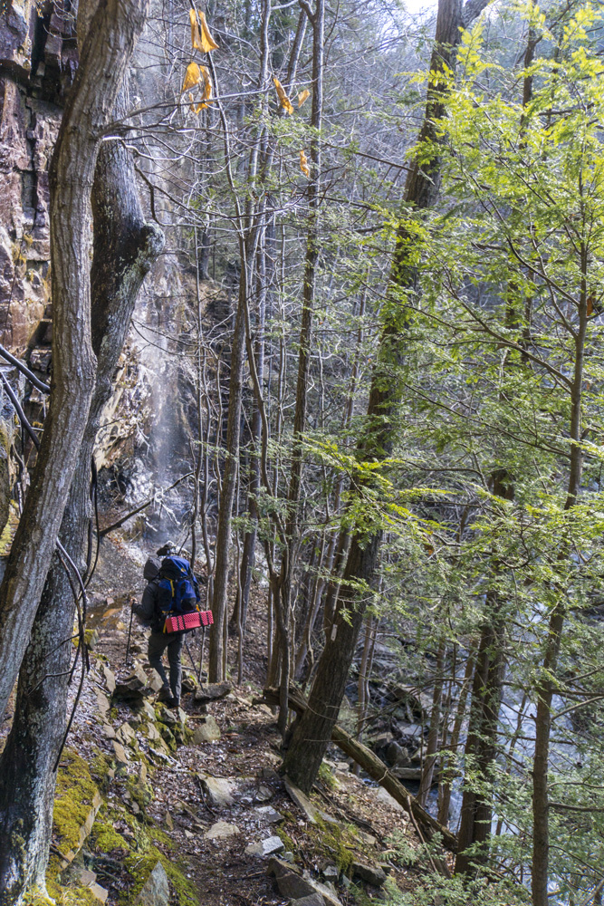
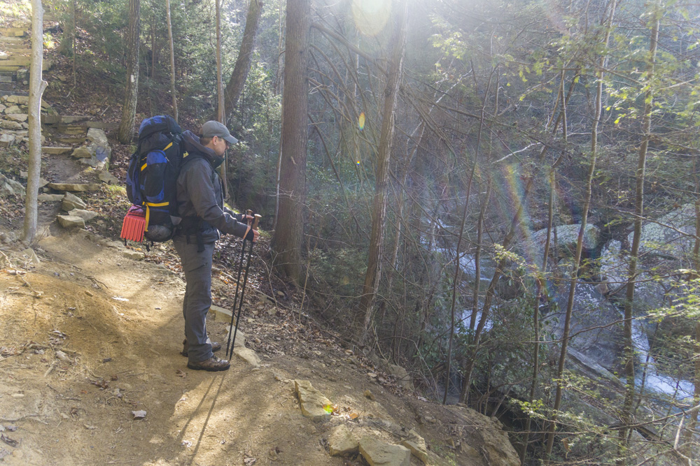
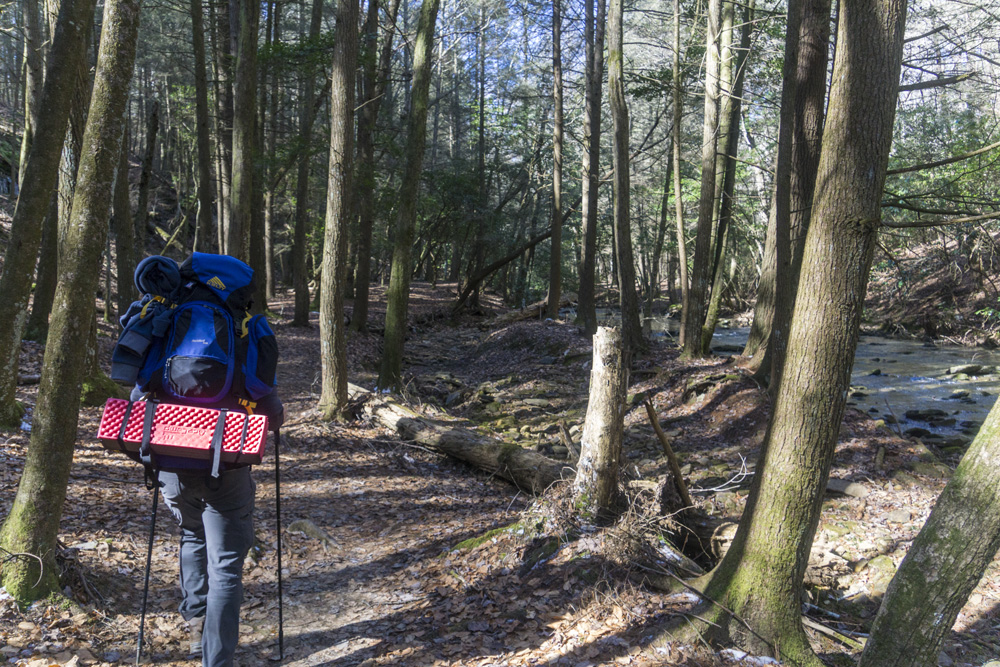
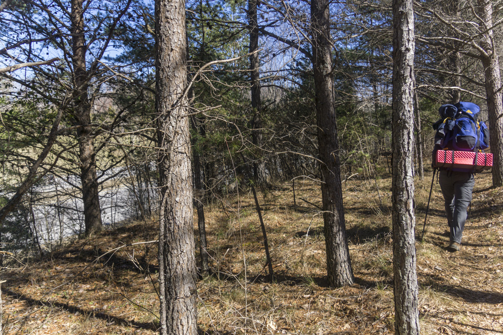
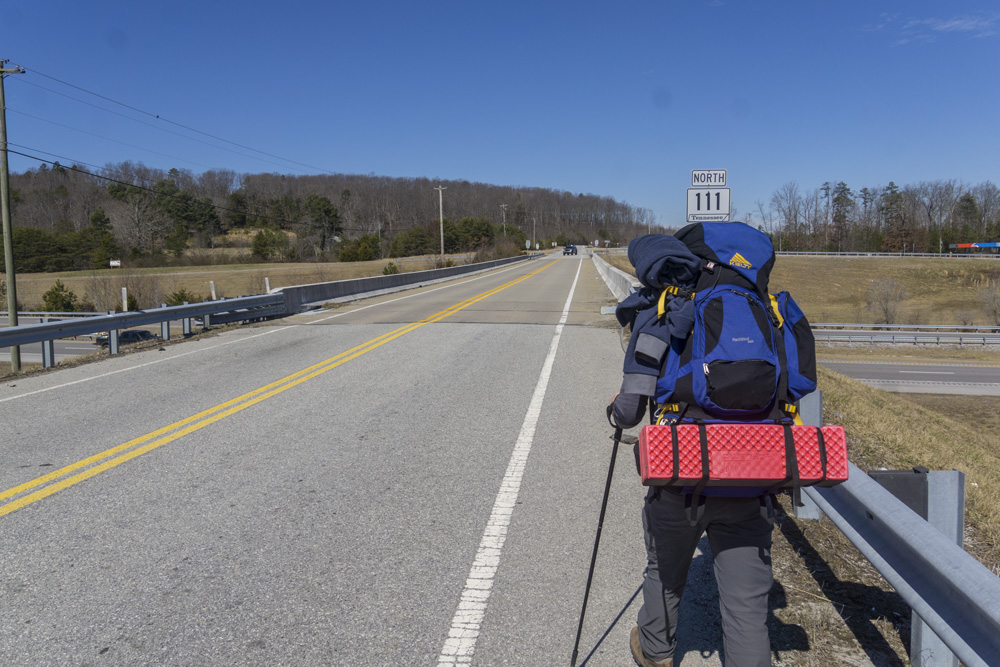
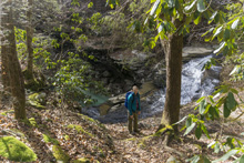
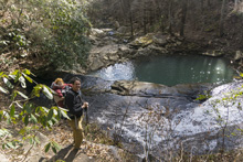
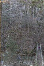
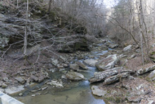
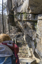
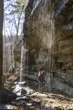
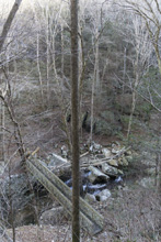
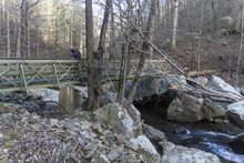
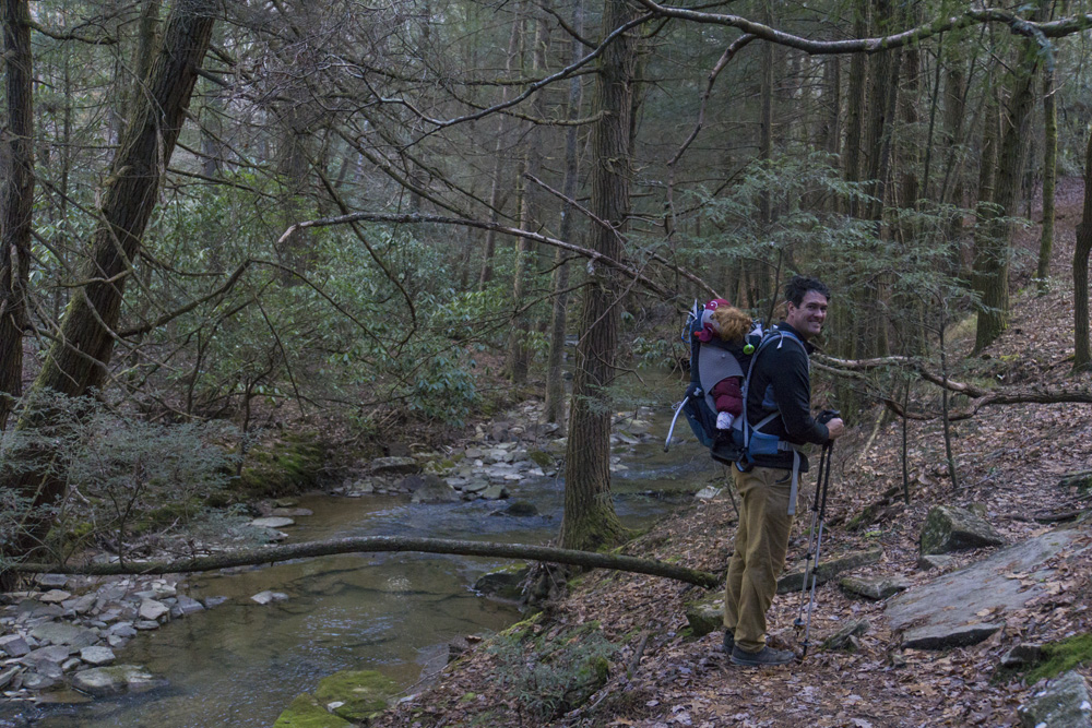
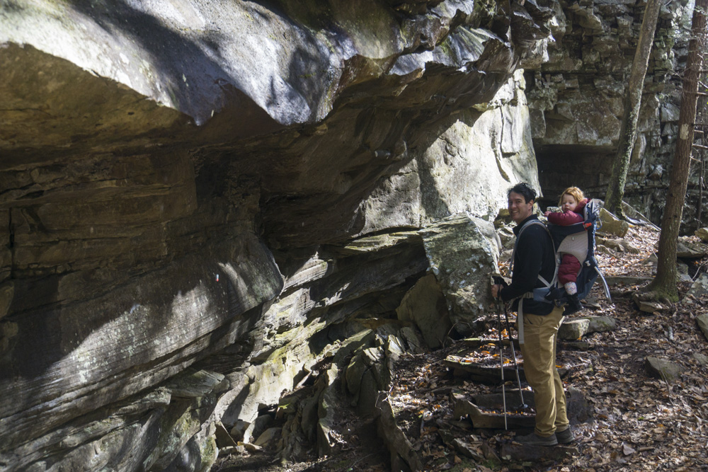
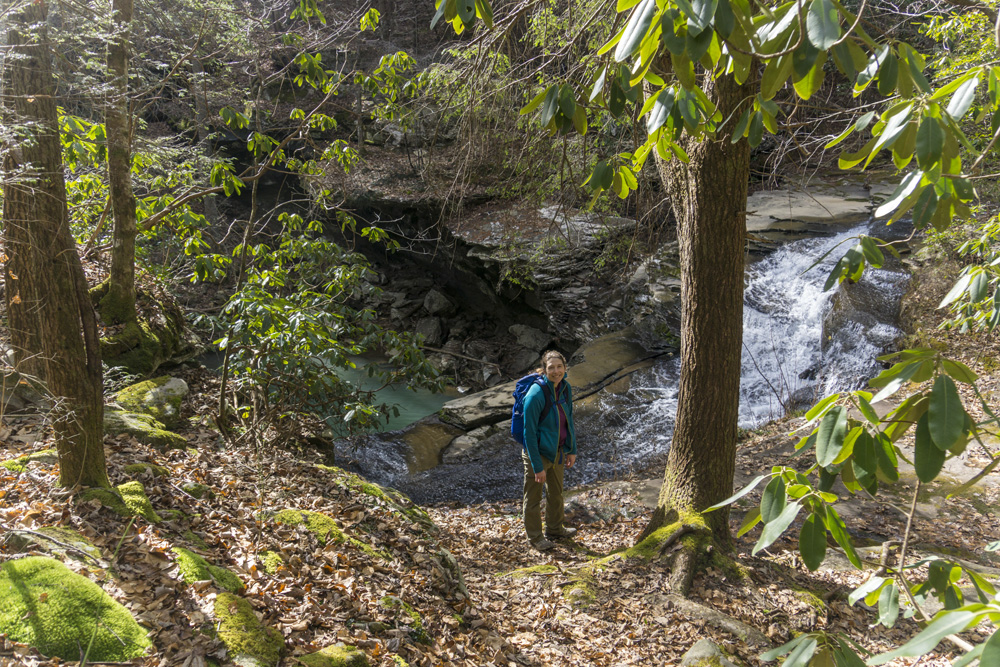
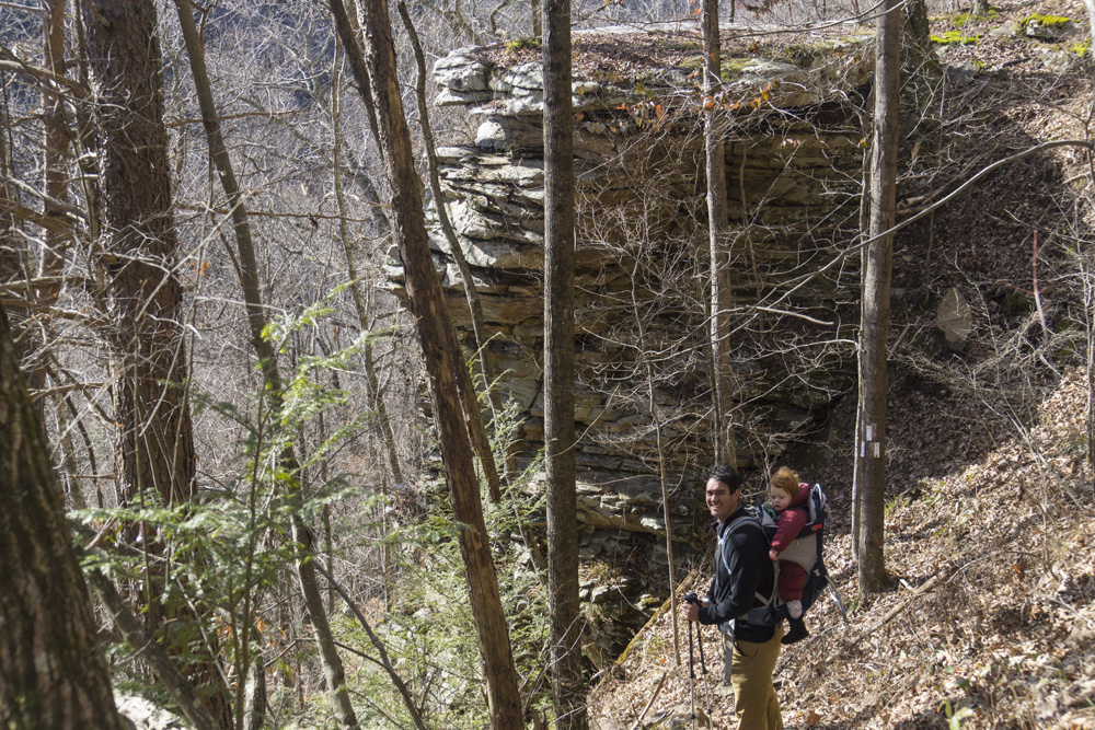
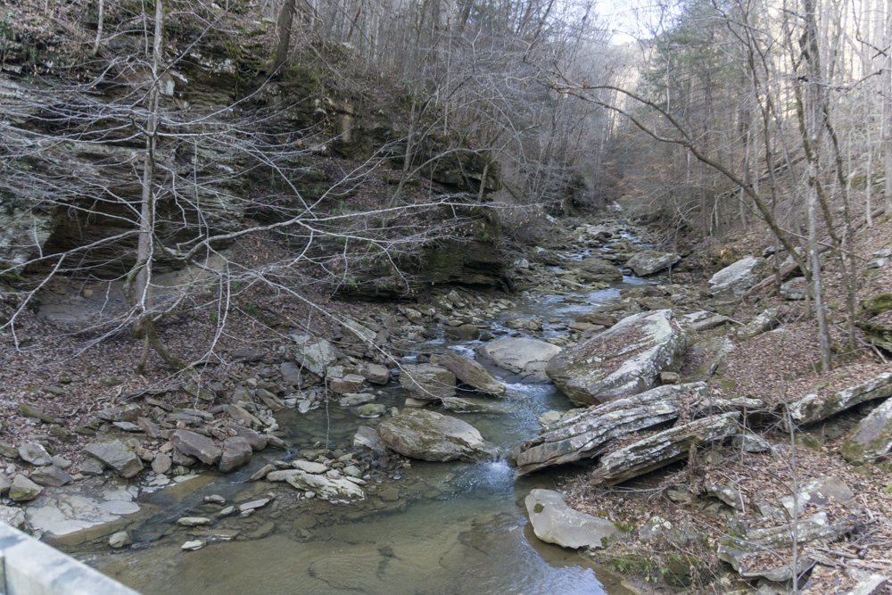
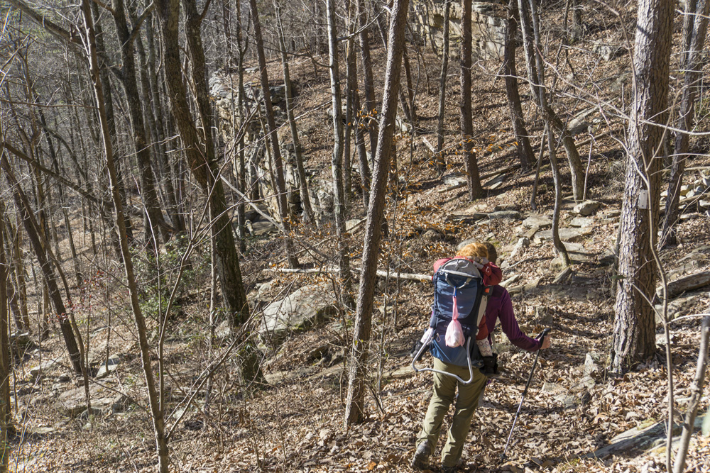
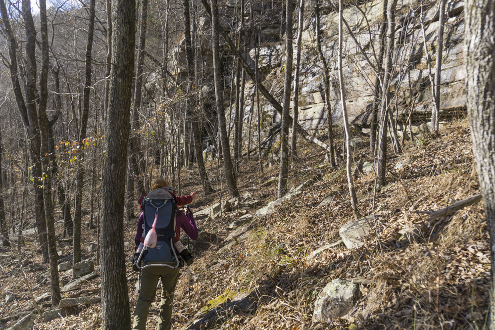
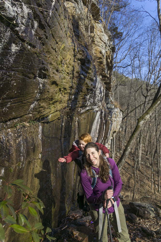
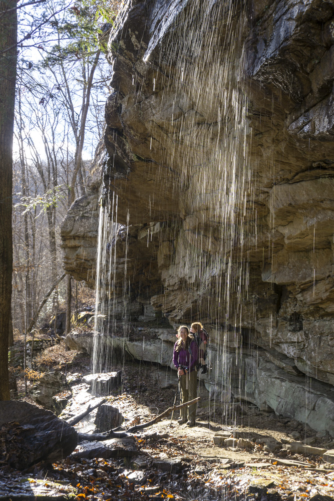
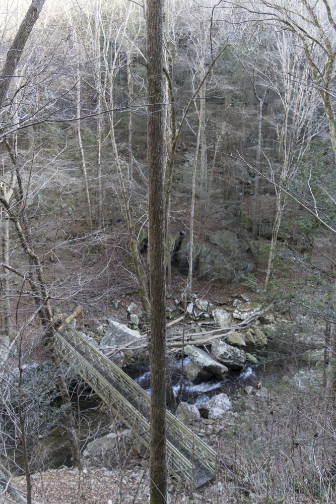
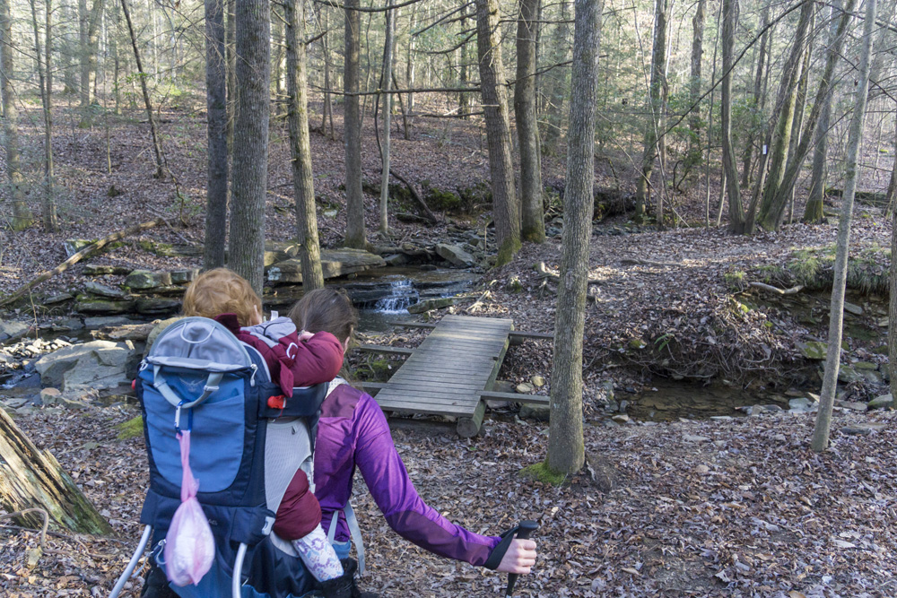
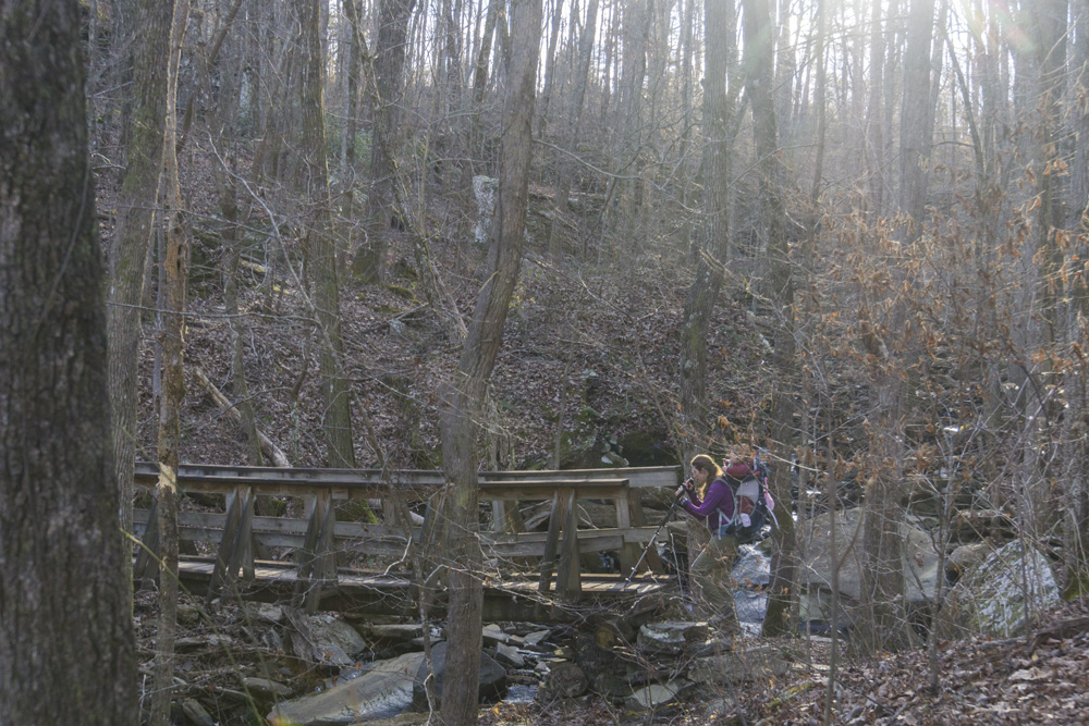
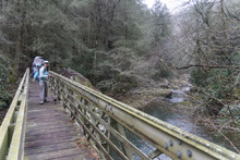
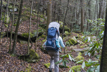
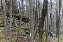
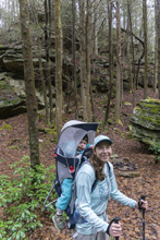
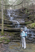
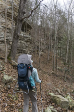
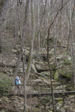
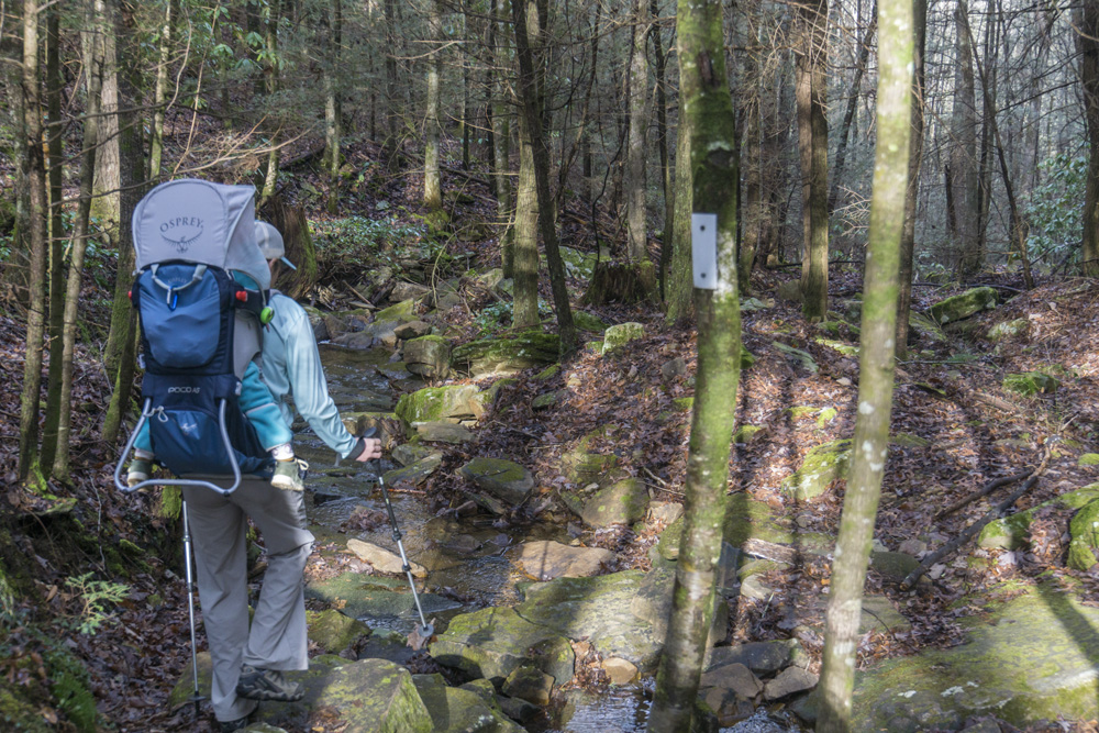
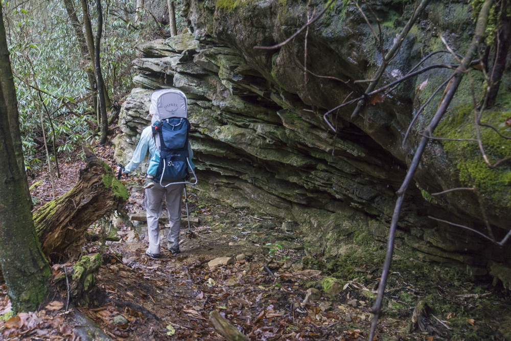
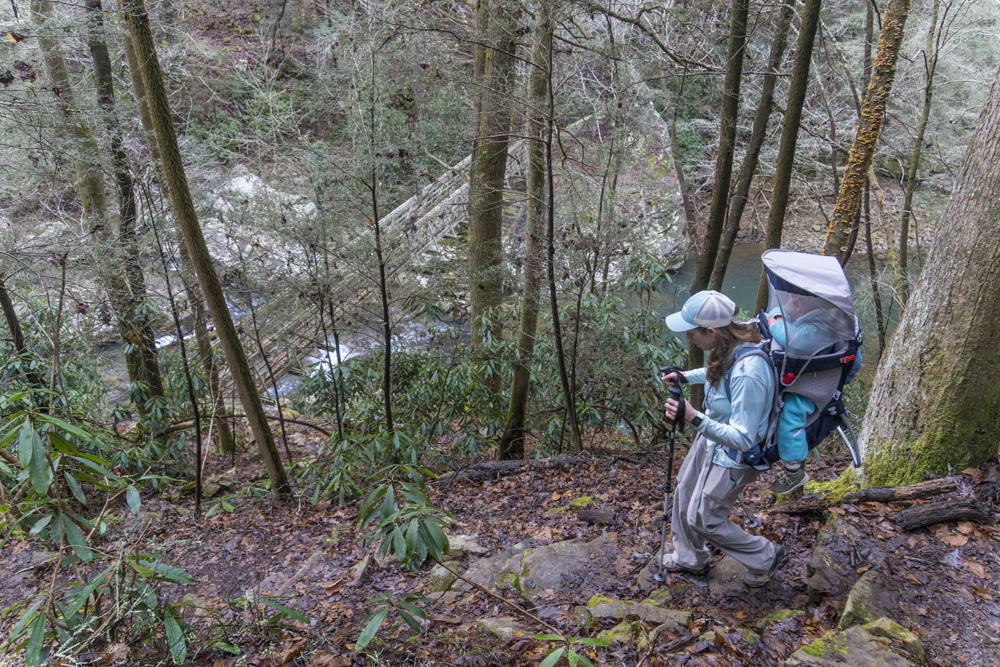
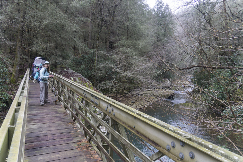
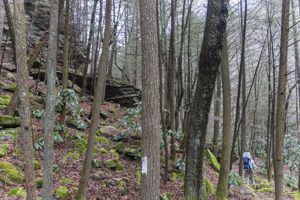
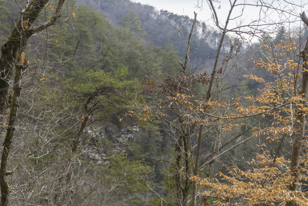
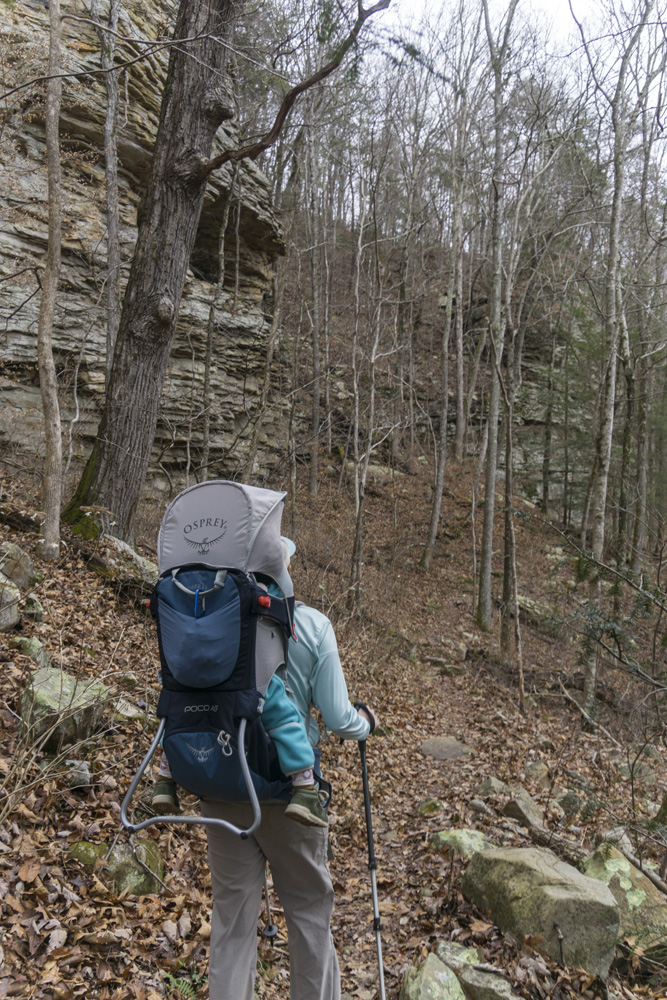
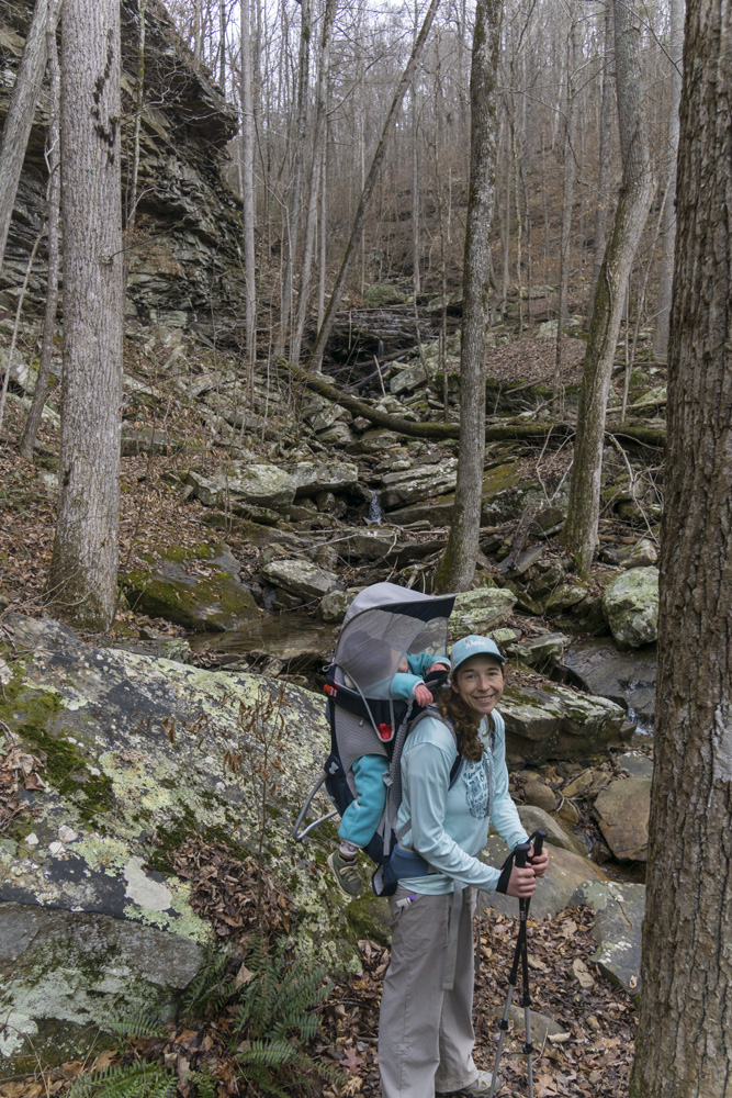
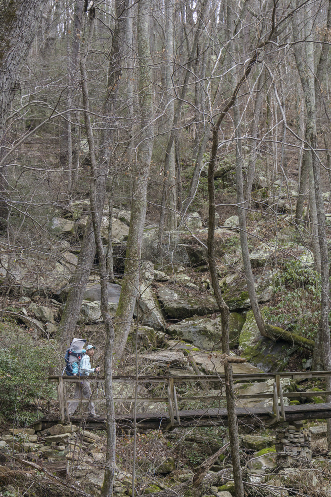
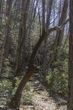
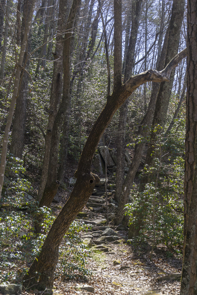
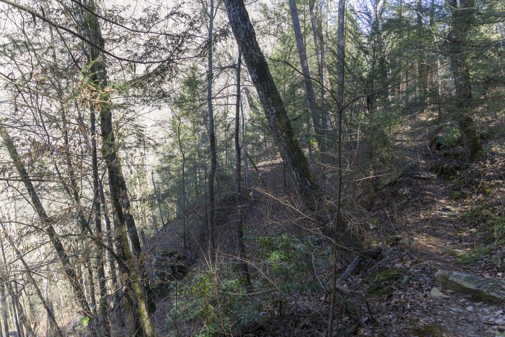
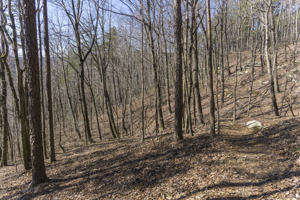
- Description: From Hotwater Rd descend 0.4 miles following blue blazes to the junction with the CT. Right is the South Soddy, left is the North Soddy section. Turning left you immediatly cross Little Soddy Creek. You begin to pick up historic markers as you descend down the creek. The Cumberland Trail Conference has a brochure on this section's page describing what each is. Note that at one point the river descends into a deep gorge. Below it you can peer up to see a large bedrock waterfall. Around the corner it looks like you could scramble down to river level and perhaps use this as a swimming area. This water is apparently not safe to drink otherwise I think there might also be great camping down there, looking up at the falls. After a mile of following the river, you begin to pull up and away, start seeing a lot of trash, until you cross Hotwater Rd. Continue climbing up the other side for a short distance. You are now half way up the ridge and side hill around into the Big Soddy Drainage. In Winter some clear views are offered looking down into the river and the Soddy Creek Gulf Park. If it has rain somewhat recently the sound of the river will fill your remaining miles, something this kayaker appreciated mightily. As you work further up the canyon you get really spectacular views looking across the Board Camp Creek Canyon and Big Soddy Canyon. At mile 4.0 you descend to cross Deep Creek, there is also a junction here for the SCC parking area which is a climbing area trailhead that can also be used. It is a little difficult to get to the river level to fill water but it is possible. The trail crosses the river at a spectacular cascade on a sturdy bridge. The trail is hard to spot on the northside of the bridge but it climbs steeply to just short of the bluff line. This is a well loved climbing area, but it is commonly wet with seepage so in the winter is not busy. So, we decided to camp here after hiking the South Soddy section to this point. The camping was at the bluff line itself, and had enough flat spots for 3 or 4 small tents. I am sure climbers would want you to not interfer with their activity so be courteous regarding setting up your camp and taking it down if you use this spot. From Deep Creek, you side hill around into the Big Soddy drainage and descend steeply at mile 5.2 to the crossing of the river. I am told there is river level camping near this crossing, but am unsure if it is above or below the bridge, it was for sure not obvious from the trail. You then climb steeply before sidehilling around and into the Board Camp Creek drainage. There was a trail that went off to the right at 6.2 or so (estimate), I am unsure where that went. Perhaps that connected to the Soddy Creek Gulf Park area. At mile 6.7 you cross a logging road and begin to work up Board Camp, crossing some scenic creeks along the way. At mile 7.4 you are directly alongside Board Camp Creek and can see some impressive cascades, along with wonderful bluff lines and rock houses. Our day icicles were falling, steps were slick, and seepage was drenching us. But it was a great adventure. Soon after at mile 9 you get to the first flat river side spot for camping. From here the trail heads up the now meandering Board Camp Creek for a pleasant walk in the woods. The official camping spot is way closer to the end then the CTC site leads you to believe and is only 0.5 miles or so from when you begin paralleling the road. You climb steeply one more time and come to a fork, to the left is a 100 foot walk to the highway and some shoulder parking. To the right, continue climbing if you are walking all the way to Heiss Mountain. The trail here is along the barb wire fence to the right and overlooking the freeway, but at least it isn't on the freeway. Eventually it spits you out onto the shoulder of the freeway, look for the trail again 100 feet later as it goes back off the freeway. When the trail finally ends you will be on the exit ramp of Jones Gap Rd and can walk up the exit, over the highway, and down Heiss Mountain Rd. An anticlamatic end to an otherwise spectacular set of hikes.


Possum Creek Gorge: Heiss Mountain Trailhead to Retro Hughes Rd
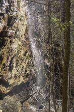
- Stars: ★ ★ ☆
- Access: Heiss Mountain Trailhead is just a large turnout along Heiss Mountain Rd (Location: 35.34597, -85.17506). On the northern end there is a small lot (Location: 35.40295, -85.18373) on the north side of Retro Hughes Rd.
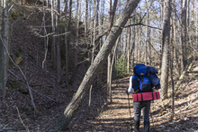
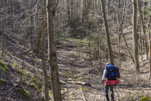
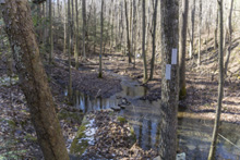
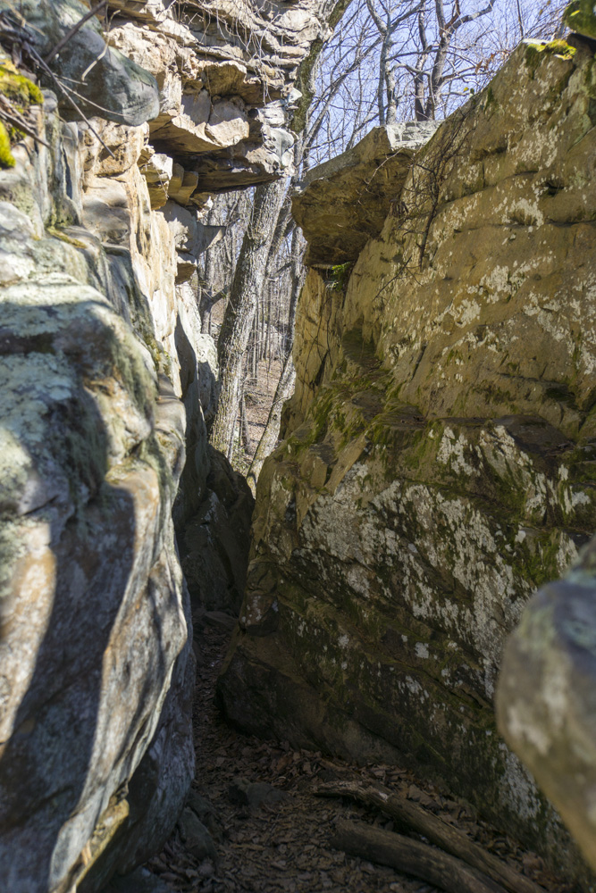
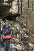
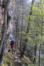
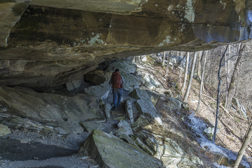
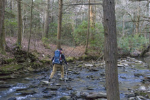
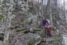
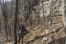
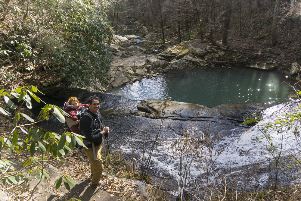
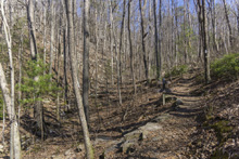
- Description: From Retro Hughes, you begin crossing the Flat)ish) top of Walden's Ridge. You begin to occasionally cross small seasonal streams which form the head waters of Little Possum Creek. Eventually, you hit a road, the trail crosses the road, and hits the road again. Here, I lost the trail for a second and followed some tape to the river crossing 100 feet away. I think, the actual trail may have required a right turn at the first road crossing to cross as its switch back. But I am unsure. Regardless, on the other side of the river we immediatly hit the trail again, turning left. This begins to work down the creek as it picks up steam, rising up and over a small ridge in your path. On the other side, you meet the river at an alternate access point (mi 3.4)that is a gated road but a short walk from Retro Hughes. This is where kayakers access the creek for some class V kayaking. Cross the creek, walk along the road for 100 ft and turn right back onto the trail. The trail is along the river from here down to Immodium Falls 1 mile below the last crossing. This section also has some very nice bluff lines to walk along and in my mind is the highlight of the hike. Immodium Falls is also commonly done as an out and back from the bottom, though that is certainly a strenuous hike. Below the falls, the trail splits and led us to a dead end by going right. Instead, you need to step up onto a rock bench and do a quick switchback to go up and over the bluff line in front of you. A tree down on the trail was the main reason we missed this "turn." From here to the bridge at mile 6.2, you don't see the river. Instead you are up on the ridge line, at times with nice bluff lines to walk along and interesting rock formations. The descent back to the river is steep but short. Once you cross the river, you head down river climbing gradually until you round the corner of the ridge at which time you climb steeply up to the top of the ridge. On the steep descent on the other side, nice rock bluffs and seasonal waterfalls greet you before you finally find yourself back at river level again, this time to cross Big Possum Creek. The climb starts immediatly on the other side but the first pitch has the reward of a nice tall cliff to walk along. After that, the climb continues and turns into a walk in the woods. You briefly descend to a tributary creek which you will then more gradually follow the remainder of the way to Heiss Mountain Trailhead.


Rock Creek Gorge: Retro Hughes Rd to Upper Leggett Trailhead Connector
- Stars: ★ ★ ☆
- Access: On the top of the plateau there is a small lot (Location: 35.40295, -85.18373) on the north side of Retro Hughes Rd. On the other end you can either approach this from the Upper Leggett Trailhead (Location: 35.41013, -85.13102) or hike along Rock Creek for the Lower Leggett Trailhead (Location: 35.38607, -85.13608), both off of Leggit Rd.
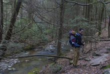
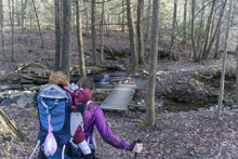
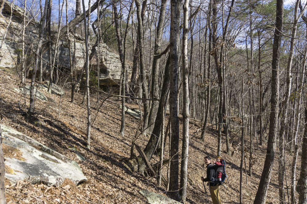
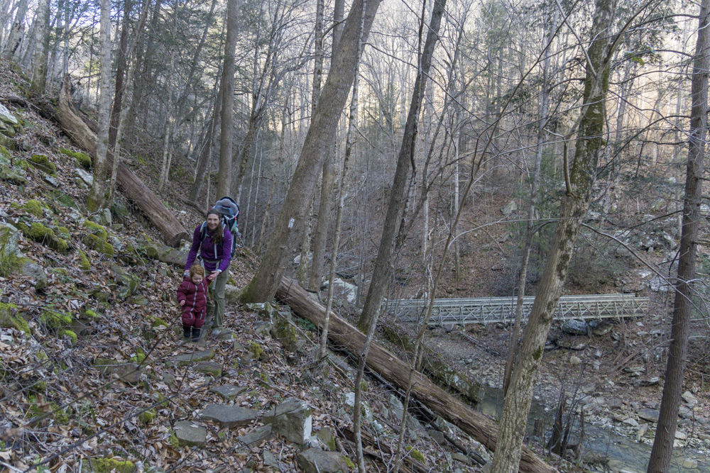
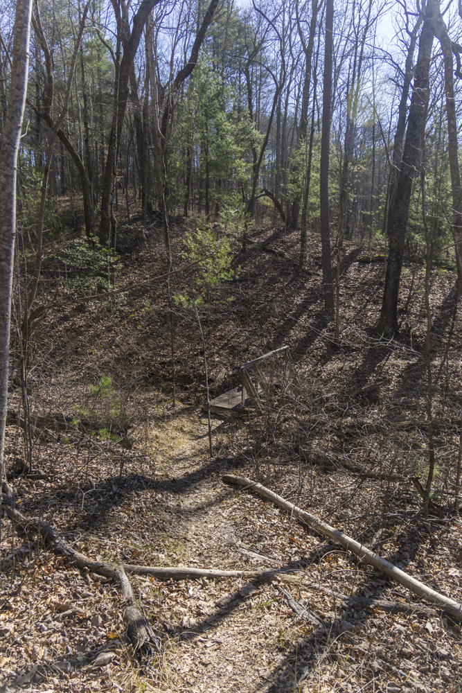
- Description: From Retro Hughes, the first mile of the hike is along the pine forest on top of the ridge. You will begin to descend steeply into the canyon and moss covered rocks and trees grow more plentifully. You have some small bluffs before the final steep descent to the river where a nice bridge awaits at mile 2.5. The hike is along the river is brief by in the next half mile there is an awesome spot to camp. The trail then climbs away from the river and stays away for the remainder of the hike. You do get glimpses into the canyon though, more so than on Possum Creek. You will cross several creeks, the first (Leggitt Branch) of which has no bridge and is an open bedrock creek. After heavy rain I venture you would not be able to cross this creek safely. The next several have bridges, though one is washed away and one looks precariously perched. At mile 4.9 you will get to your first junction. Left, takes you to the Upper Leggitt Trailhead which will connect to the McGill Creek Section of trail, or to the Upper Spur trail and the Leggitt Overlook. Right, takes you on the Lower Spur Loop and is the easier way to get to the Lower Leggitt Trailhead.


Rock Creek Gorge: Upper Leggett Trailhead Connector
- Stars: ★ ★ ☆
- Access: Upper Leggett Trailhead is at the top of the ridgeline along Leggett Rd (Location: 35.38607, -85.13608).
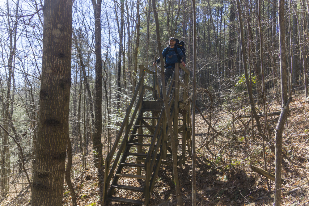
- Description: This short section of trail climbs steeply from the Lower Spur Junction to the Upper Spur Junction. While it is short, the steepness will get the breath going and the small bluff line and rhodo surrounding the trail will keep you happy. Nice short section of trail. At the bottom, if you want to stay on the Cumberland Trail, turn right and follow white blazes, the blue blazes are the Lower Spur Trail. At the top, turn left to stay on the Cumberland and quickly exit to the Upper Leggett Trailhead. This will connect to the McGill Creek section soon (2021). Turning right at the top will start the Upper Spur and is blue blazed. It is worth going to see the overlook which is less than a quarter mile away from the junction.


Rock Creek Gorge: Upper Leggett Trailhead Connector to Lower Leggit Rd (Lower Spur)
- Stars: ★ ★ ☆
- Access: Upper Leggett Trailhead is at the top of the ridgeline along Leggett Rd (Location: 35.38607, -85.13608). Lower Leggett Trailhead is on the corner just before Leggett Rd climbs up the ridge (Location: 35.38607, -85.13608). You can hike this as an out and back or make it a loop using the Upper Spur from either location, or make it a point-to-point using both ends.
- Description: We hiked this as a continuation from the upper gorge section from Retro Hughes. The hike was pleasant, but certainly not the highlight of the entire section. It was mostly a hike through the woods, with a few small creeks to cross, some nice rock formations to view, and a few small glimpses of the creek. There is a campsite right near where the Upper Spur drops back down to this trail to form the loop.


Rock Creek Gorge: Upper Leggett Trail to Lower Spur (Upper Spur)
- Stars: ★ ★ ☆
- Access: Upper Leggett Trailhead is at the top of the ridgeline along Leggett Rd (Location: 35.38607, -85.13608). Lower Leggett Trailhead is on the corner just before Leggett Rd climbs up the ridge (Location: 35.38607, -85.13608). You can hike this as an out and back or make it a loop using the Lower Spur from either location, or make it a point-to-point using both ends.
- Description: The main attraction to this trail is the Leggett Point Overlook which is 0.5 miles from the Upper Leggett Trailhead, and as a stand alone 1 mile out-and-back hike would rate 3-stars for me. Most do this trail as a loop with the up river half of the Lower Spur. That makes for a nice 3.8 mile hike with 800 ft elevation. From the trailhead, head down the wide trail, shortly you will pass through a wooded "gate" to prevent ATVs from accessing the wide trail and just a 100 yards later you will see the fork where the connector trail comes up from the main CT and Lower Spur junction. Staying left on the double wide trail keeps you on this trail (blue blazes). After a quarter mile, you will see another junction (also blue blazed), turning right takes you the quarter mile to Leggett Point Overlook (an out and back quarter mile each way), a must do if hiking this trail. After taking in the site, the hike back out to the last junction and continue on. The trail rounds the corner and starts to descend, steeply at times. Scenery is lacking on this part and as it makes up the majority of the trail, that is why I gave it two stars. At mile 2 you will hit the junction with the Lower Spur, turn right if you plan to do the loop back up to the Upper Leggett Trailhead, or left if you plan to head down to the Lower Leggett Trailhead.


HTML Comment Box is loading comments...
A Wet State - Home Page