
Cache la Poudre River (Narrows)
| Stretch: | Narrows Picnic Area to Steven's Gulch Picnic Area |
| Difficulty: | Class IV to V |
| Distance: | 3.2 miles |
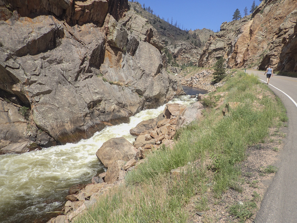
| Flows: | 200-1,300 cfs (well downstream). 2' at the Pineview stick gauge (downstream a ways above Pineview Falls) is the upper normal limit for the Upper Narrows. 3' for the Lower Narrows. Check out American Whitewater's current flow gauge. |
| Gradient: | 111 fpm average (139 fpm for the 1.7 miles of rapids) |
| Put-in: | Narrows Picnic Area |
| Take-out: | Steven's Gulch Picnic Area |
| Shuttle: | 3.0 miles, 5 minutes one way. |
| Season: | Spring and Summer from snowmelt |
| Written: | © 2018 |
| Featured in A Wet State #140 | |
Jobless Summer 2019 Roadtrip:
This trip was not a long planned, nor well planned, trip like most of our trips are. Instead, as Diane finished her residency she knew she would have a month off. We were planning on flying to Oregon for a cousin of mine's wedding, she would then stay out west and roadtrip down to California to see friends and family. But, as the time got closer, I got more and more antsy to leave my job for various reasons. So, on a whim, I suggested that I quit and take the summer off, and we roadtrip from Oregon up to Canada and all over the North West to kayak, hike, bike, and sightsee for the summer. Diane was game, how often do we get to take a month or more off...? The answer is I haven't since I was 15, before I got my first job. Since then it has always been school and/or work. For 20 years. So, the plan was set... a jobless June 25th to August 5th.
Now, to plan the locations and routes. That part was harder. 2018 was a dry year just about everywhere in the west. Colorado was low, Washington was low, and the same for BC and Alberta. But, with hopes of getting some of the bigger rivers, even if the creeks were dry, we set the plan with a few hard constraints. Wedding in Portland for a cousin on July 4th, hiking in Washington with Diane's family for a few days on July 11th, see Jasper and Banff, and return home by August 5th. Other than that, it was all play it by ear. The night before we left I settled on a route, the hope was for St Francis in MO and Sioux Falls in SD before moving into Idaho on the way to our friends in Utah on the way out, but both of those first stops were too low, so that was out. Instead, we routed to Colorado before stopping to visit in Utah. So that is where we will begin.
Day 1 - Driving:
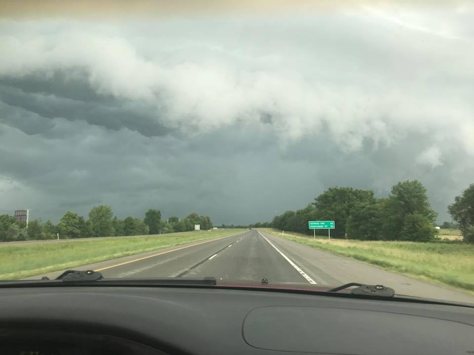
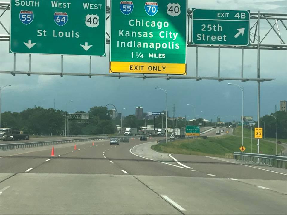
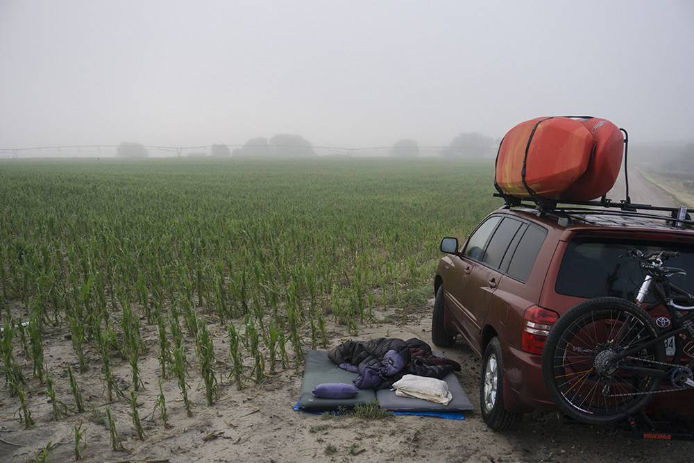
Day 1 started at 5:30 am when our alarms went off. By 6 am we were on the road. The route to Colorado passed through St Louis, where I have been on site working with a client for the past year. Diane had never been and had never met any of those colleagues so we stopped in for lunch so she could meet a few of them. We then continued on through the rest of Missiouri and onto Kansas. We hit some massive rain storms that slowed traffic for several hours down to a crawl causing us to lose several hours. We knew we wanted to kayak in Colorado the next day, so we pushed on for a few extra hours to make up the time and ended up putting in 18 hours of driving and couldn't push on any more around 11 pm that night, about 30 minutes short of the Colorado border with Kansas. I had been scouring google maps to find a spot for us to sleep, but due to being deep in farmland, all we found was a small dirt road that was gated a short ways down so assuming traffic would be light, we pulled out the tarp and slept on the ground next to the car, basically in a corn field.
Day 2a:
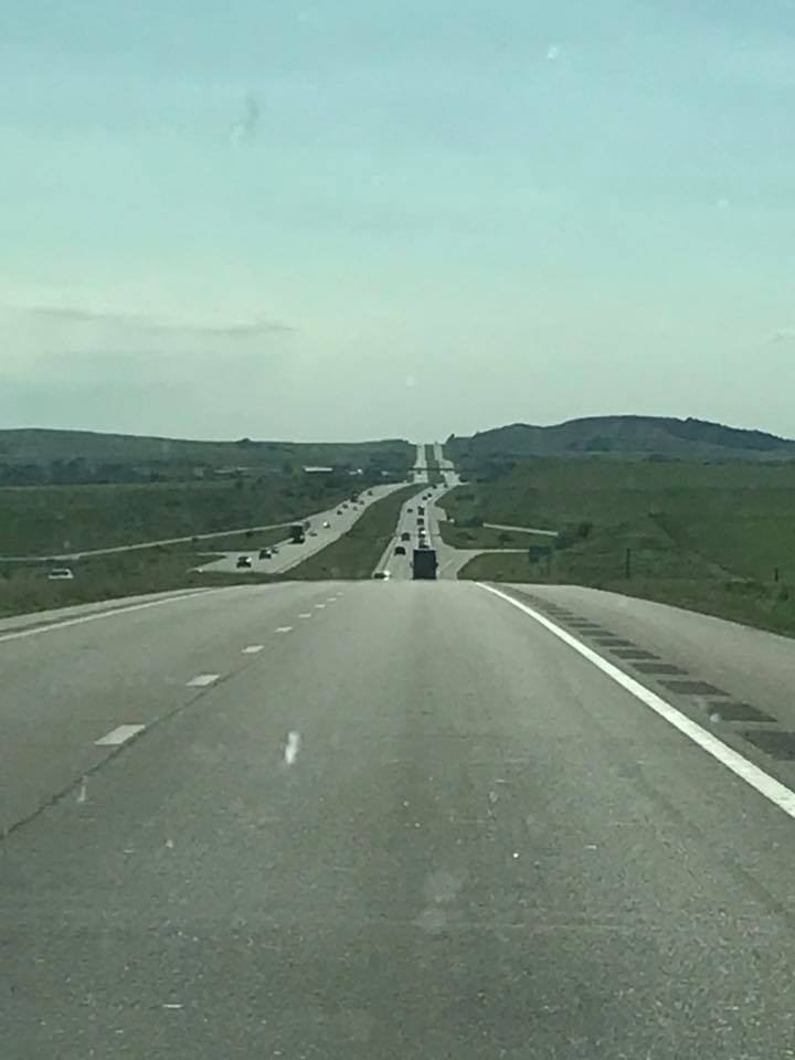
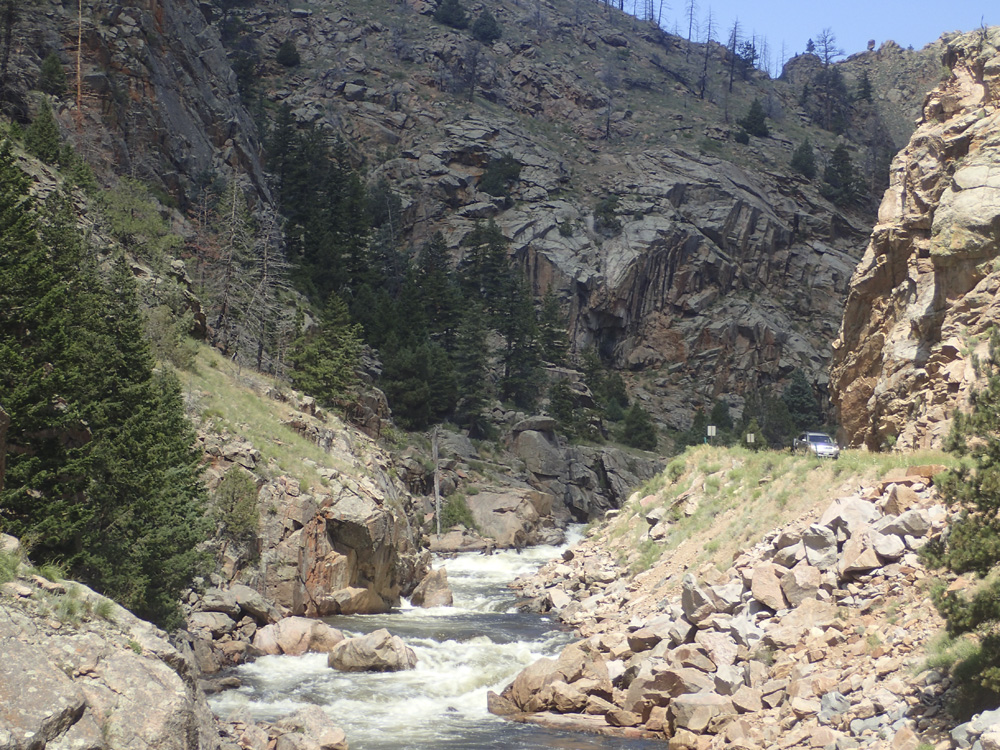
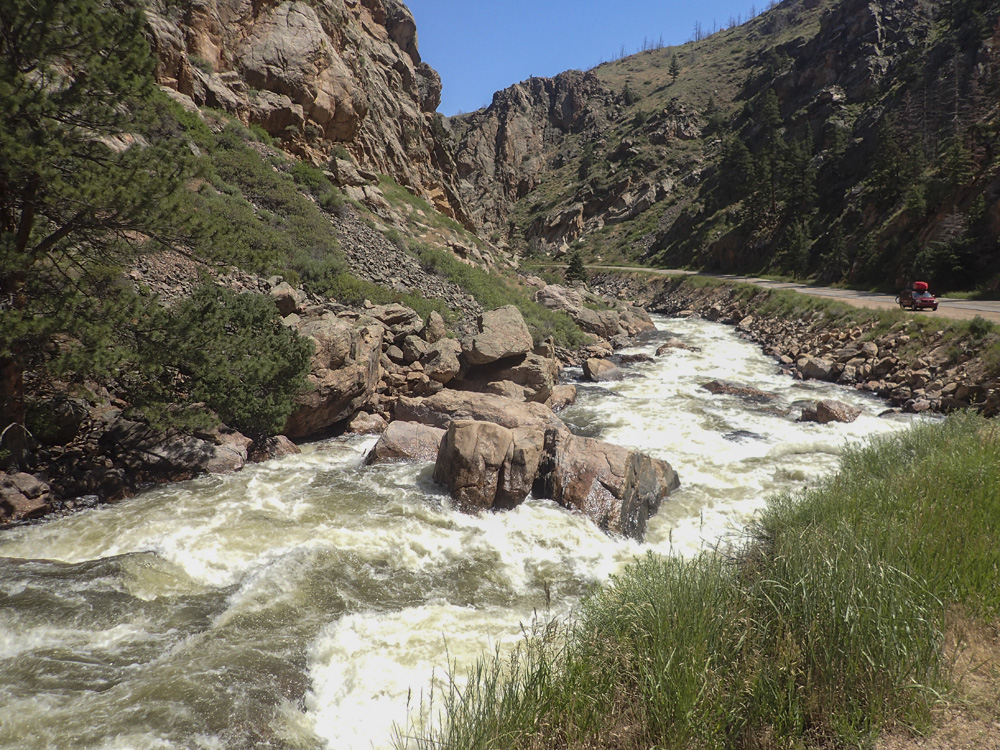
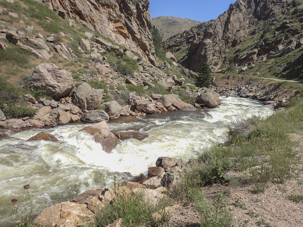
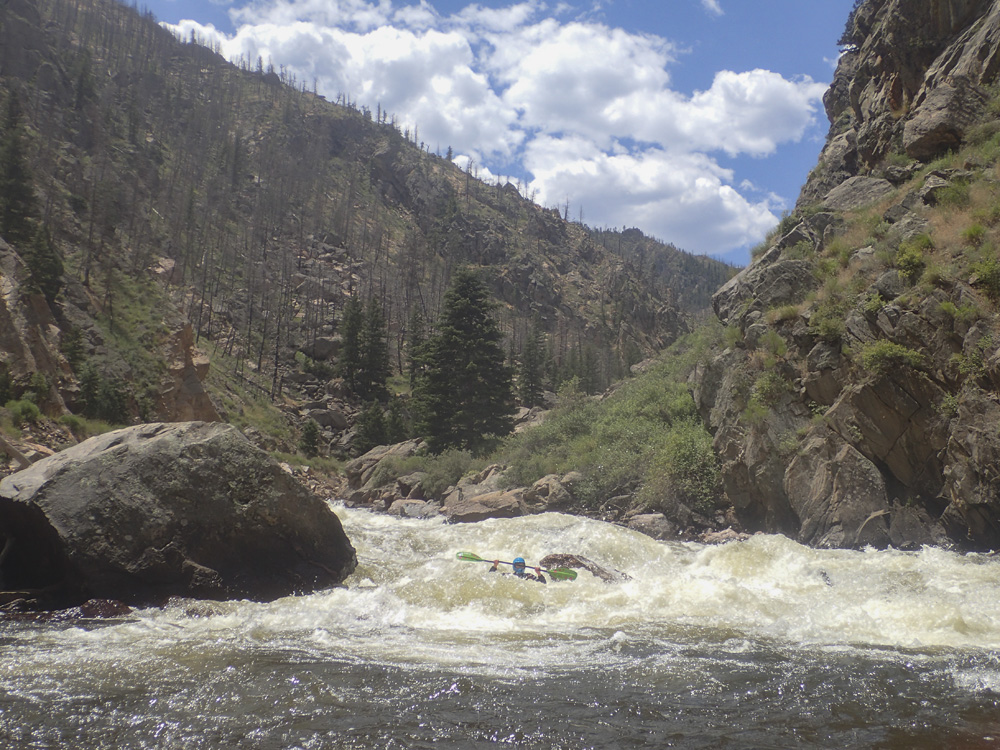
We still had 5 hours of driving in the morning to complete. I woke up early, a trend for the trip. I woke Diane up and had her sleep more in the car while I began the drive. The plan was to go look at the Poudre (as it is referred) and hopefully get the Narrows, at least the lower and maybe the middle. We arrived and quickly found our way to the top of the river, scouting the Lower Narrows first and deciding the rapid was good to go. We then headed up the canyon to look at the Middle Narrows. Little did I know, what we actually scouted was the Upper Narrows, which I knew would be on the high side. So after looking at the rapids, we decided that they looked doable, but dangerous for only two people. So we opted to not run them. Thinking that these were the middle, we were a little bummed. It wasn't until a few days later that I figured out that by putting in below these rapids, the boogie class IV that we ran leading up to the Lower Narrows was indeed the Middle Narrows. So yea. Whoops. So anyways, we dropped gear and drove down some 14 miles downstream to leave our car and hitch back to the top. The road isn't huge, but I quickly got picked up by a local who went out of his way to give me a ride to the top, so thanks to him!
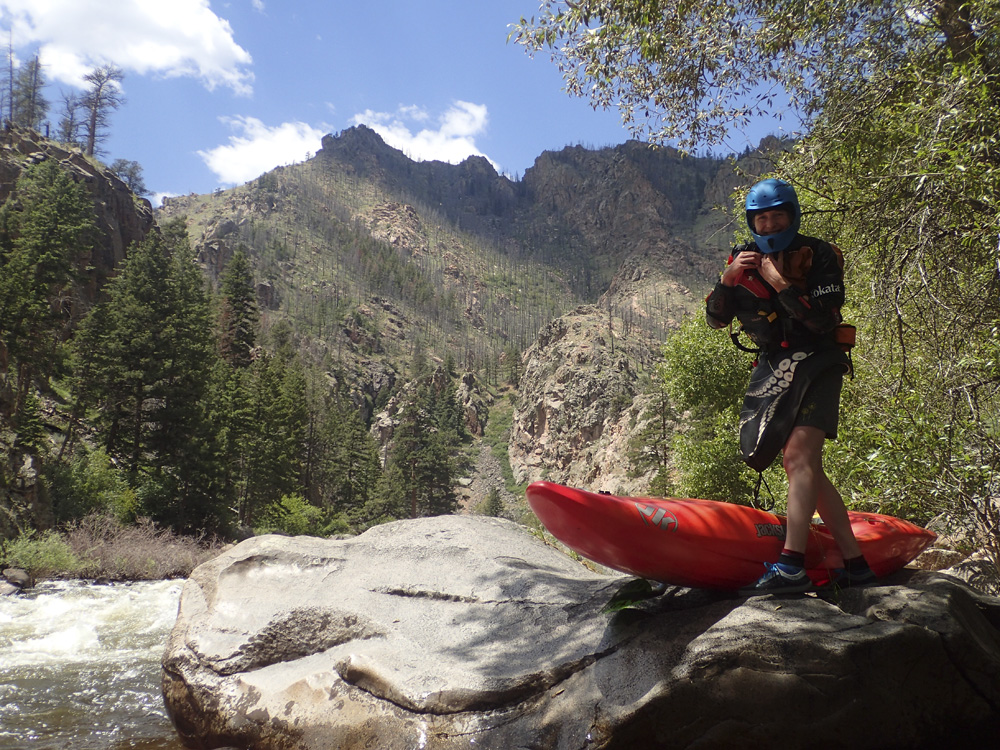
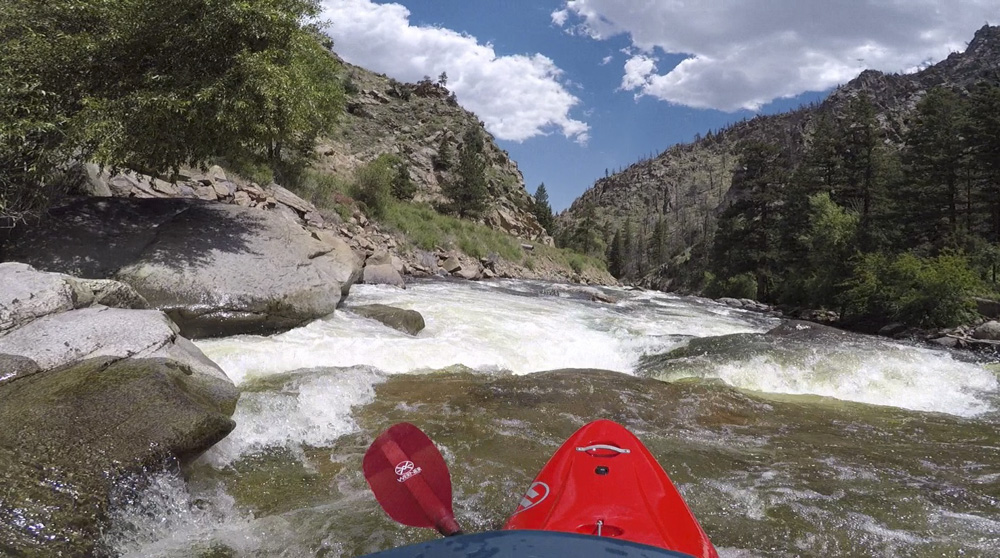
The Middle Narrows as I mentioned were fun and just class IV. I could see that as water levels drop that these rapids get low. Reading several guides you see people often have to walk the middle section after running the Upper Narrows. The Lower Narrows is just one rapid with a few punchy holes to boof and punch. This was the first time I was back in my Nirvana in a few months, as in Europe earlier in the spring I boated a Karma and in the few weeks between, only boated my Antix. I had forgotten how much I loved the Nirvana. So dependable, so easy to boof, resurfaces like a champ, and just enough edge to track on a ferry like a champ.
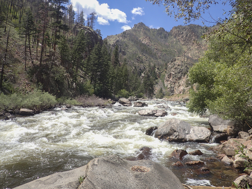
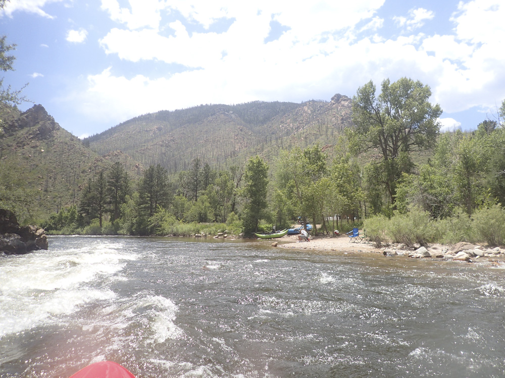
Below the Narrows, we continued on through the much easier four sections downstream. See those write-ups for that info. In total, for the 14 miles we were on the water about 2.5 hours with no scouts and no stops. We had 2.9' on the gauge which was fluffy for the Lower Narrows, medium for the Middle, and was fine for all of the sections below.
Next: Jobless Summer 2019 Roadtrip - Day 2b: Cache la Poudre River (Upper Mishawaka)
Mi 1.2:
- Upper Narrows (V). OK, so we didn't actually run these because it was too high. It consists of three drops. Super Collider, Cabbage Shredder, and Whiteline. For our scout, Whiteline was the deal breaker as there are two powerful holes with a chunky run out. They are easy to scout from the road prior to putting on. The come one after the other after a bit of a flat water paddle in.
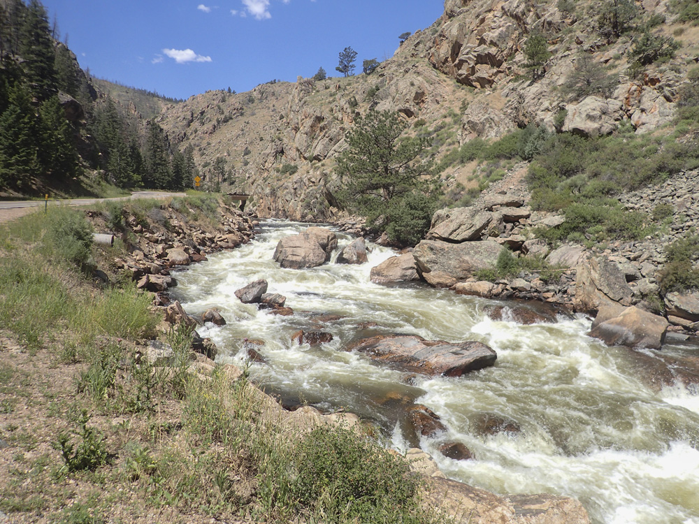
- Middle Narrows (IV). I am not entirely sure of where people normally put in. This is the sharp turn below the last big rapid of the Upper Narrows. There appears to be a class III-IV rapid on the corner. We put in a smidge below.
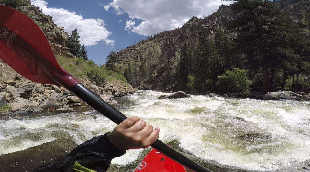
- River Access via turn out. This is where we put in. It was in the middle of a read and run class III rapid. More boogie continues below.

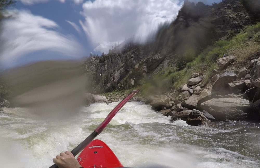
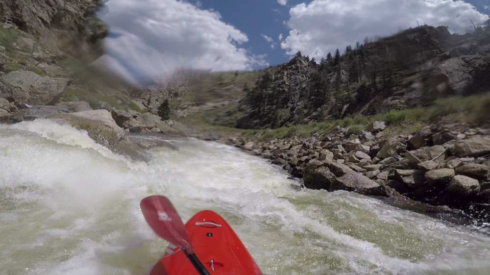
- Foot Bridge (IV- to IV). A foot bridge is overhead and marks the start of the continuous rapids. The first move seemed to have some pin spots in the center and right, we went left over a slide. I think there was also a line far right.
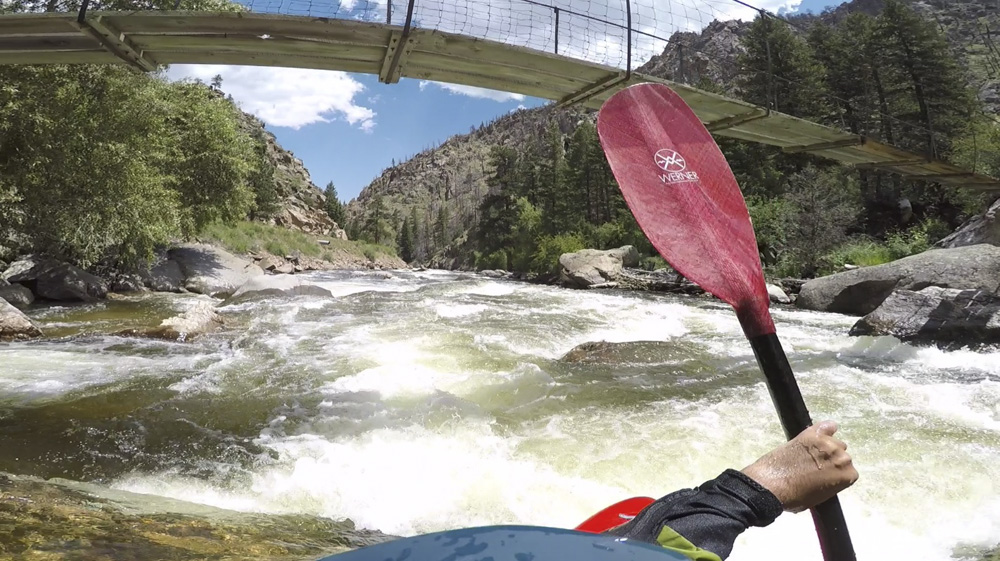
Next (III+ to IV). After a brief lull, there was a near river wide ledge formed by multiple poor overs. We went down the far left. Below, there was some fast moving boogie.
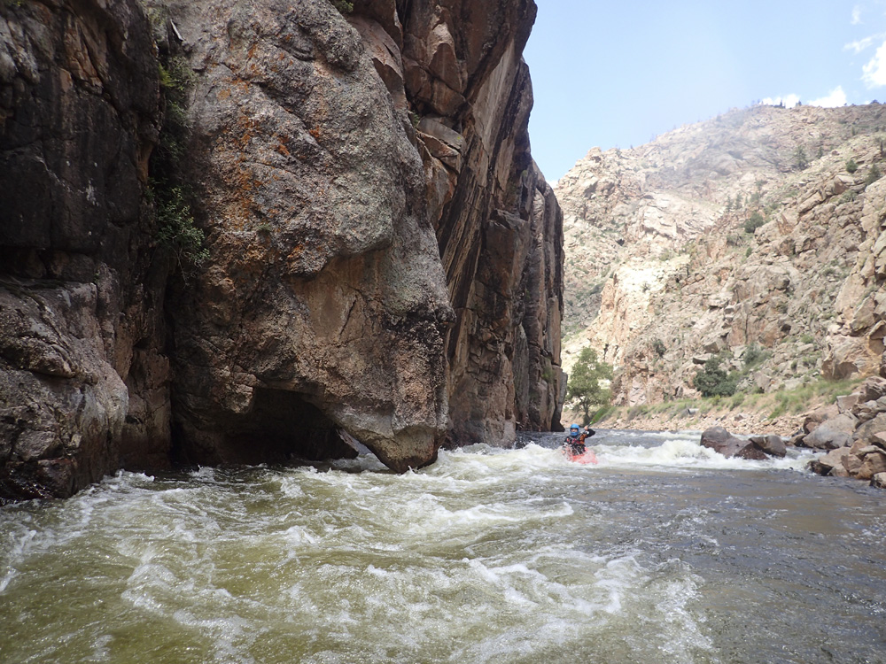
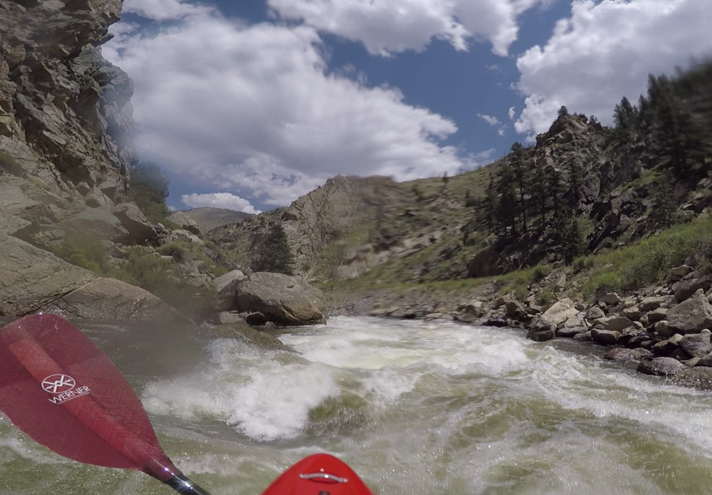
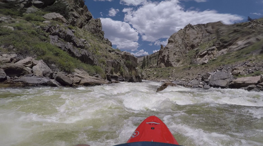
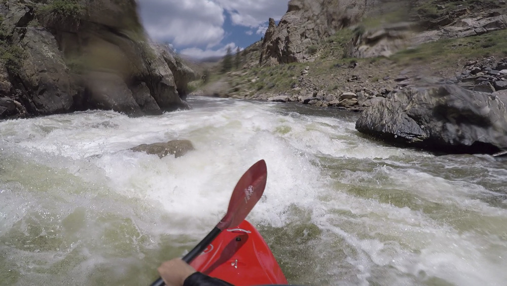
- Lower Narrows (IV+ to V). This is essentially one long rapid. Putting in above the bridge the moves are in this...
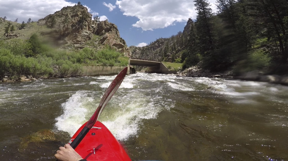
1 - Under the bridge is boogie, run anywhere, we then eddied out left just after the bridge.
2 - There is a small weir, we ran left and then eddied out right.
3 - Entrance of the proper rapid. At this flow there was no stopping. We ran right of center (there are some funky rocks in the entrance) so that we could drive right to left in the meat of this move which wants to push you right into a pile of rocks. Straighten out for the ledge immediately below.
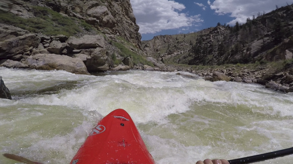
4 - This then leads to a cooridor with a tongue running down it to a good size hole, we ran off the right side with speed to boof the hole. We wanted to get right so we could be right on the next part.
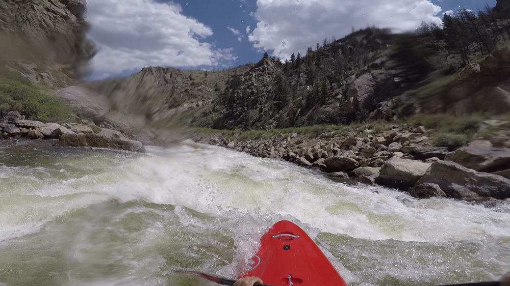
5 - The next move is a ledge on the right and junk on the left. Get to the far right to boof the ledge which has a sticky hole on it. If you are straight and with a boof you will go right through.
6 - It opens up, I ran down the middle which involved boofing one more good size hole. I then moved left to avoid another large poor over on the right two thirds of the river.
7 - The exit of the rapid has two tiers. The first is left of center down a ramp driving right so that you pop out to run the second tier on the far right, which is straight forward ramp whereas the left channel is full of rocks. The rapid then ends and you have a small paddle out to the access point.
Take-out: From Fort Collins take CO-287 North for 9.8 miles before turning left onto CO-14. Follow this up the river valley for 17.3 miles to Stevens Gulch Picnic Site.
Put-in: Continue up the river, 0.6 miles to the turn out for the Lower Narrows, 1.7 miles for the Middle Narrows, or 3.0 miles to the Narrows Campground for the Upper Narrows.
HTML Comment Box is loading comments...