
Big Sandy Creek (Lower)
| Stretch: | Rockville Rd to Blue Hole |
| Difficulty: | Class IV to IV+ |
| Distance: | 5.0 miles |
| Flows: | 5' to 7.5'. Visit the AW flow page |
| Gradient: | 82 fpm average |
| Put-in: | Bridge on Rockville Mt Nebo Rd |
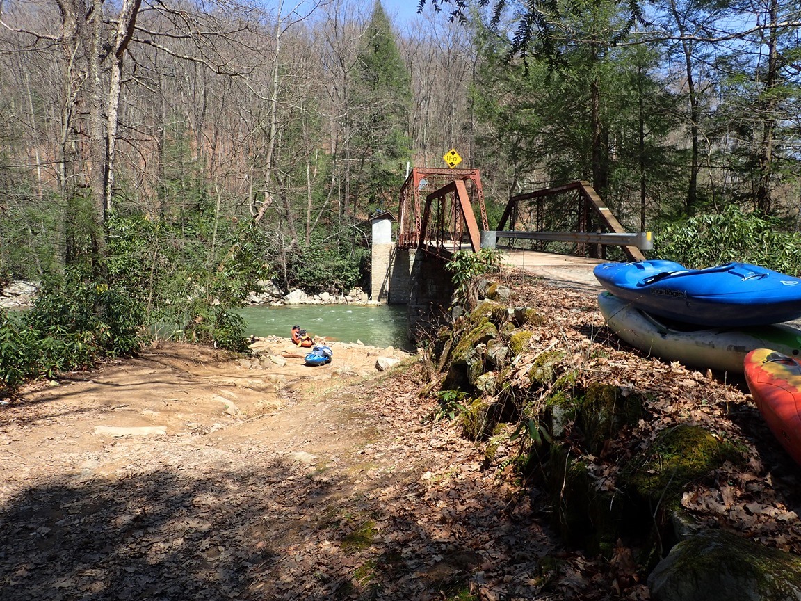
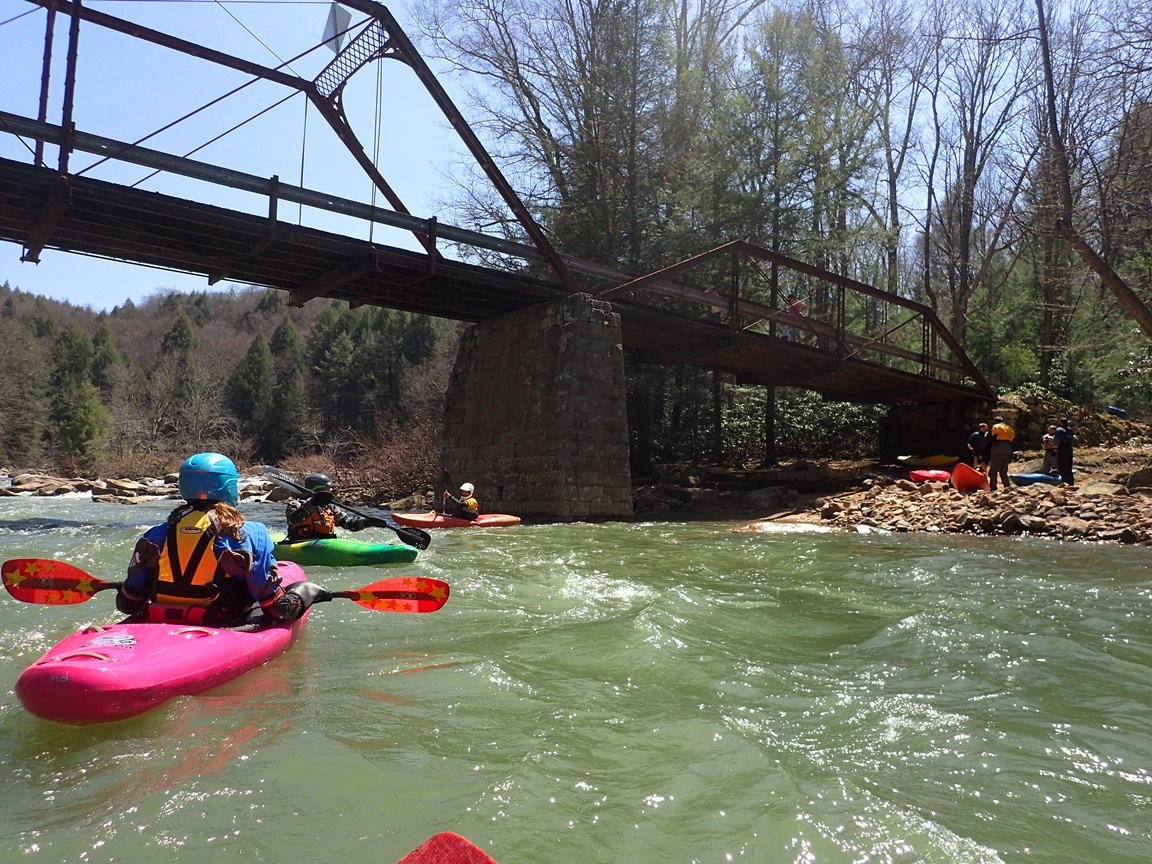
| Take-out: | Bridge over the Cheat River on Bull Run Rd |
| Shuttle: | 5.1 miles (25 minutes one way, rough dirt road, SUV / SAV required - Highlander was just enough) |
| Season: | Winter and Spring from rain plus occasional thunderstorms in Summer and Fall |
| Written: | © 2015 |
| Featured in A Wet State #99 | |
North East Roadtrip 2015 - Day 1 Afternoon
So when I planned (hoped) to get both Top Yough and Lower Big Sandy on our first day of the roadtrip... with 9 hours of driving to remain that afternoon I failed to take one thing into consideration. The shuttle. This shuttle sucks. It is not the burliest road, but about as burly as my car can handle. And it is like 4.5 miles of it so the drive is slow. By the time we were putting on it was well after 1 pm. Getting to Vermont that night were not looking great!
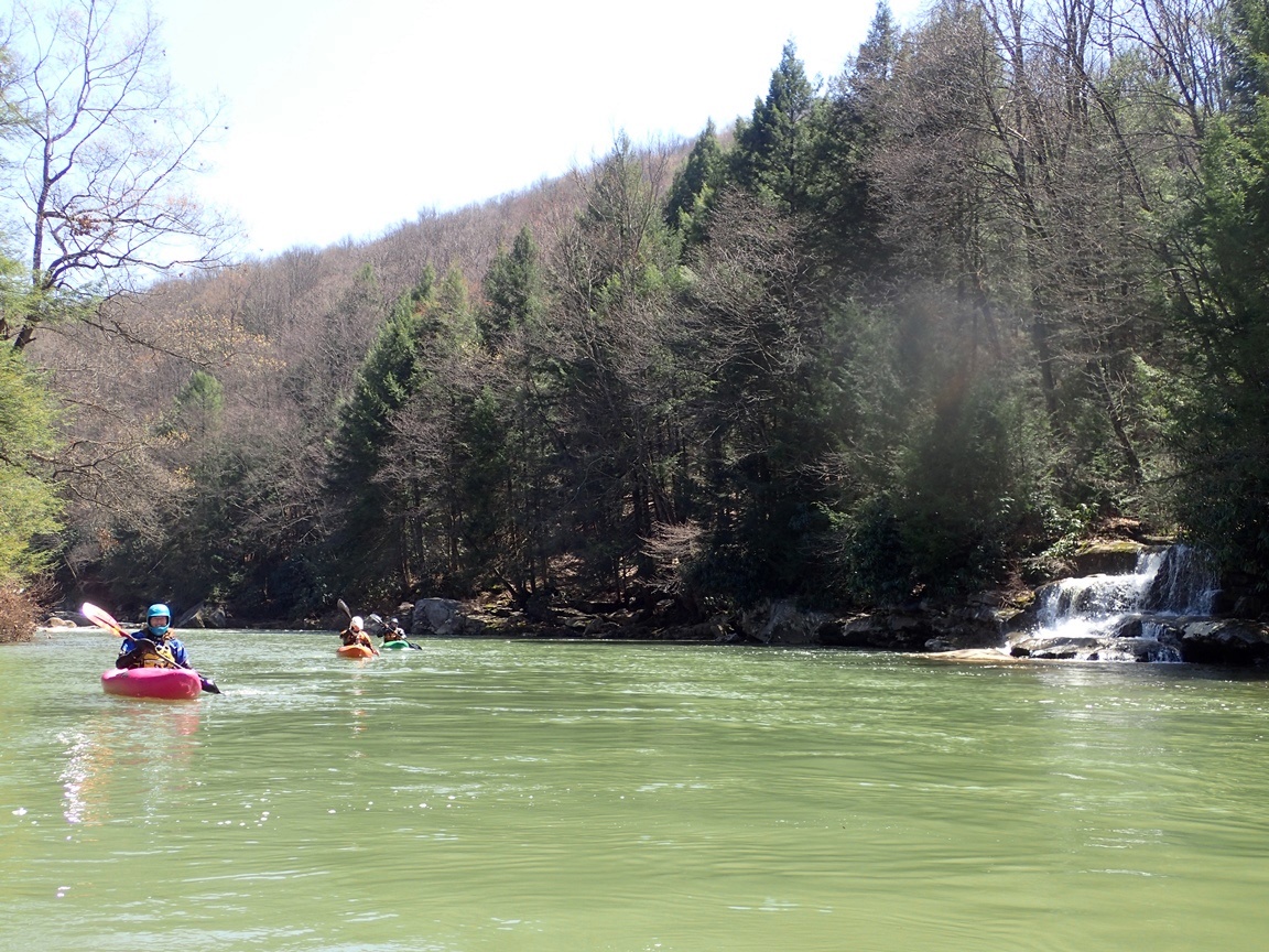
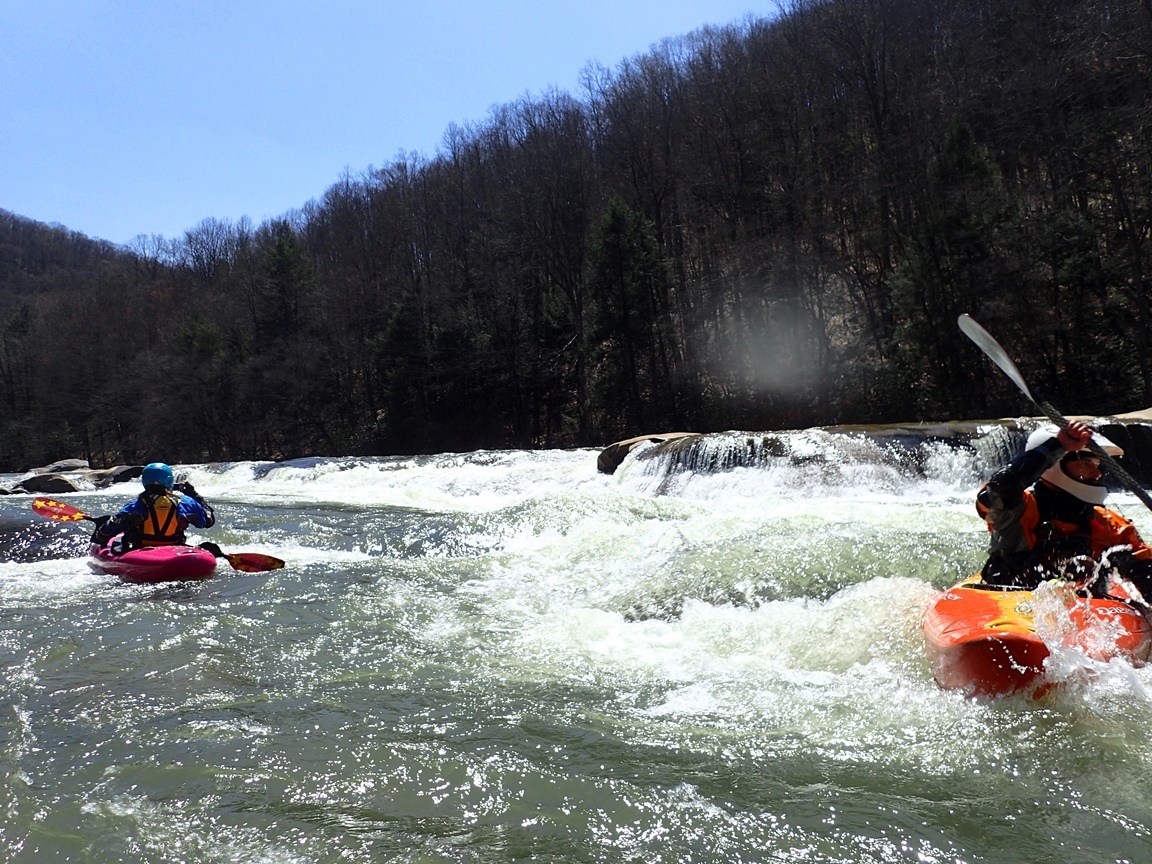
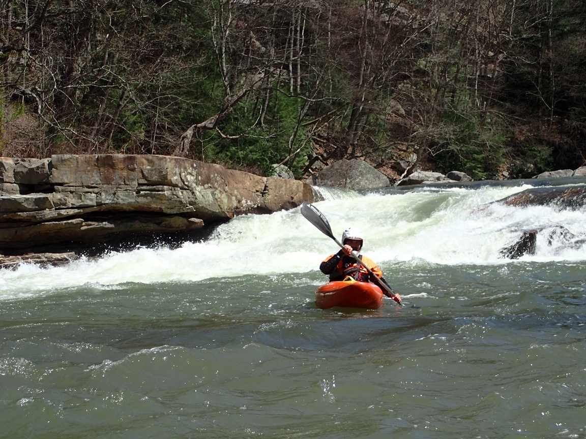
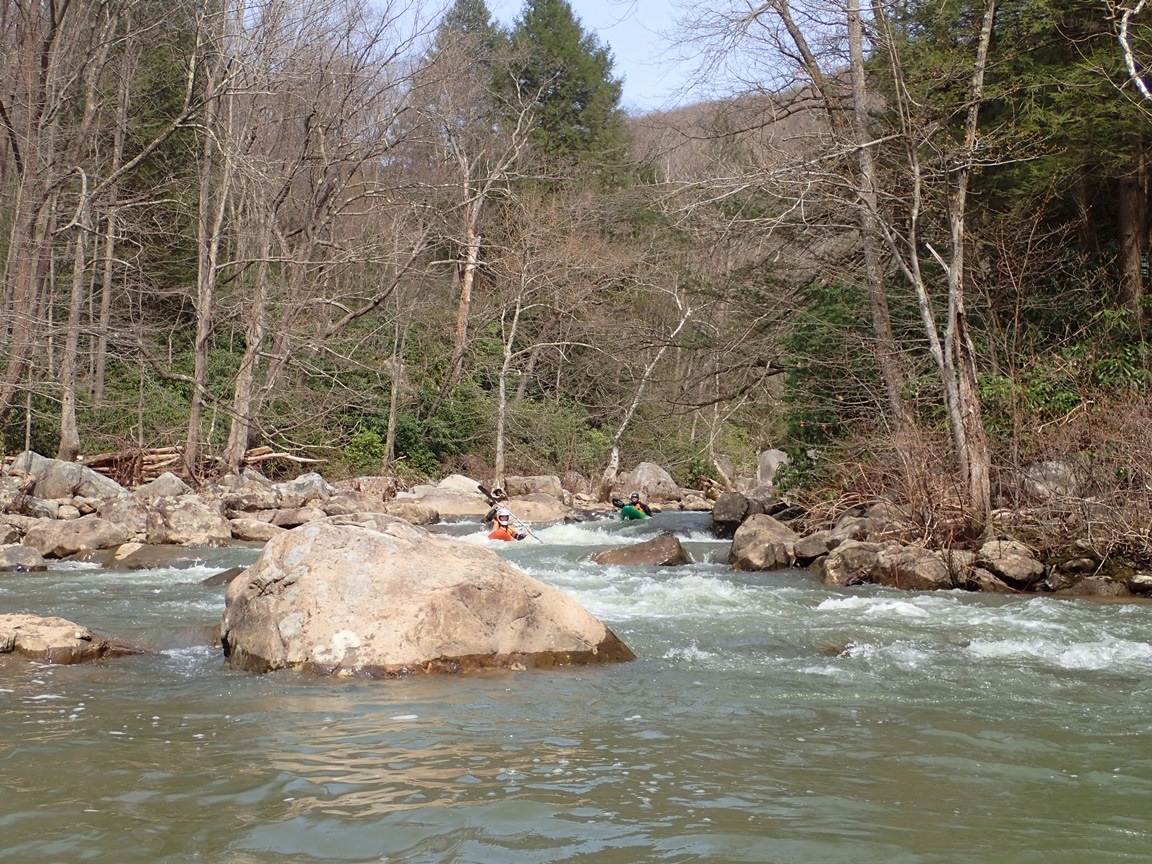
Once on the river we made quick progress through a mile of warm up floating down to Wonder Falls, where the fun really starts. After scouting we took turns running this great ~17 foot falls. Downstream, several more bedrock rapids awaited before we found ourselves at the rapid that we came to run, Big Splat. I have first seen Big Splat in someone's facebook post a year or so ago and immediately put the river on my list to see the place in person. The river drops around either side of a building size rock before plummeting off a 10 foot ledge with 80% of the water slamming and pillowing into a slab at the base of the falls. Impressive to say the least. You can scout the bottom easily from the right, but you will need to be on the left to scout the lead in. Or just be like Diane and drop into the top after only scouting the bottom. Thankfully the lead-in is straight forward! Downstream, the river turns into boulder gardens that continue unabated for the remainder of the river. There were some really fun moves in here, but they honestly weren't all that distinct. The stand-out section comes near mile 3 when you get to Island Falls. Theses drops are steep and blind and will likely prompt you to hop out for a scout unless you are with someone who knows the lines. Downstream, more fun boogie quickly leads you to take-out.
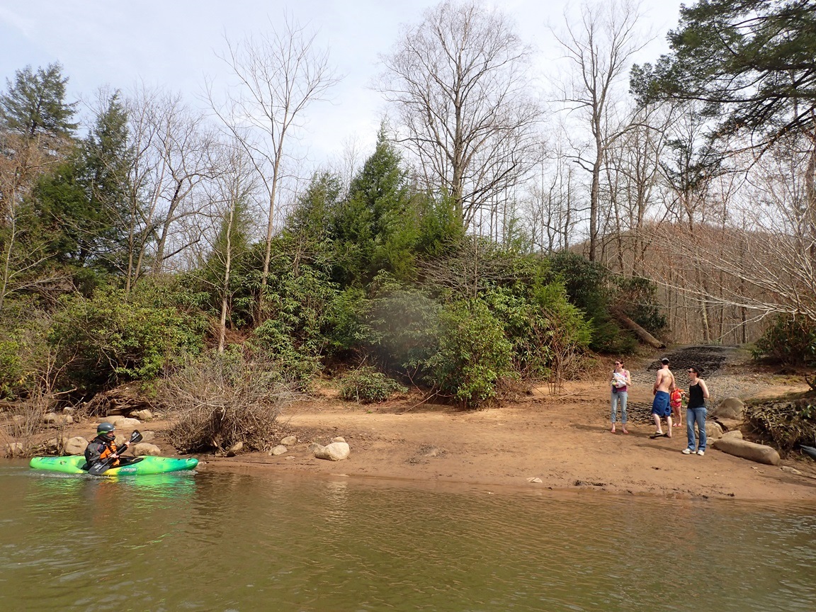
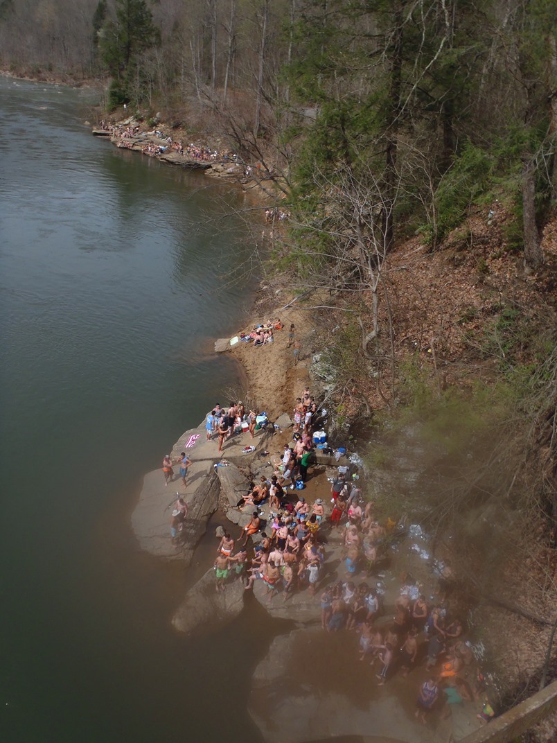
If the weather is nice, you will be greeted by hundreds of revelers from the college in Morgantown which can also cause havoc for the parking situation. We had 570 cfs (5.84') and I thought this was a great medium/low flow. Not low... but not full padded medium either.
Last: North East Roadtrip: Day 1 Morning (Top Yough)
Next: North East Roadtrip: Day 2 (West Deerfield)
- Some mellow boogie fills the first three quarters of a mile
- Bedrock (III- to III+). The first bedrock rapid appears bigger than it is, and goes just fine down the left side of the main channel on the right.
- Wonder Falls Lead-in (IV-). The lead in has some sticky ledge holes to negotiate before you reach the pool above the main event. The recovery area is fairly large, so I think the risk of swimming over the falls is small for anyone who actively swims and assuming some effort by the teams fellow boaters. Anyways, we just ran down the left through all the waves and holes.
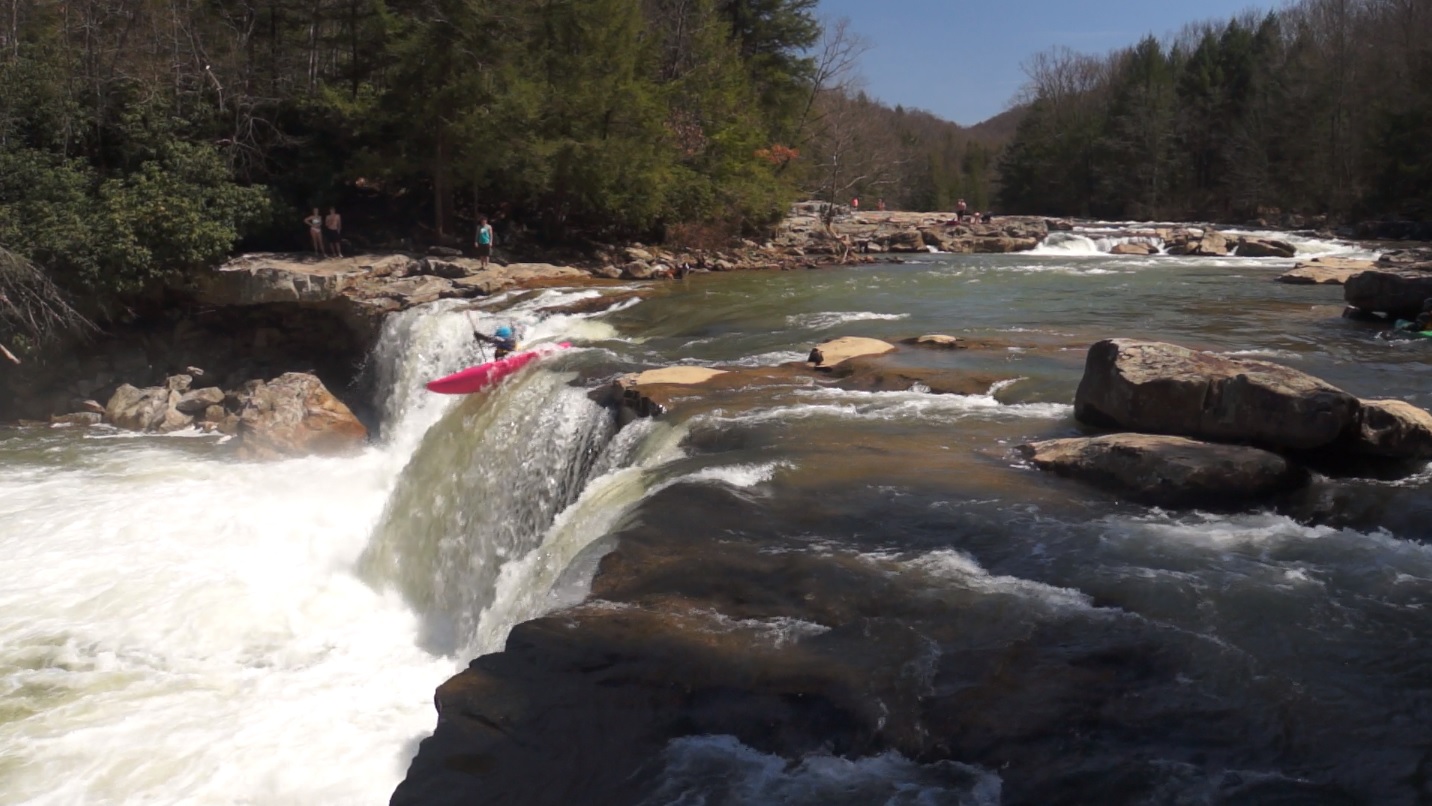
- Wonder Falls (IV to IV+). Boof the left side of the main channel. Super straight forward. Scout from the left. It can work you... and downstream it goes right into a rapid leaving limited rescue time.
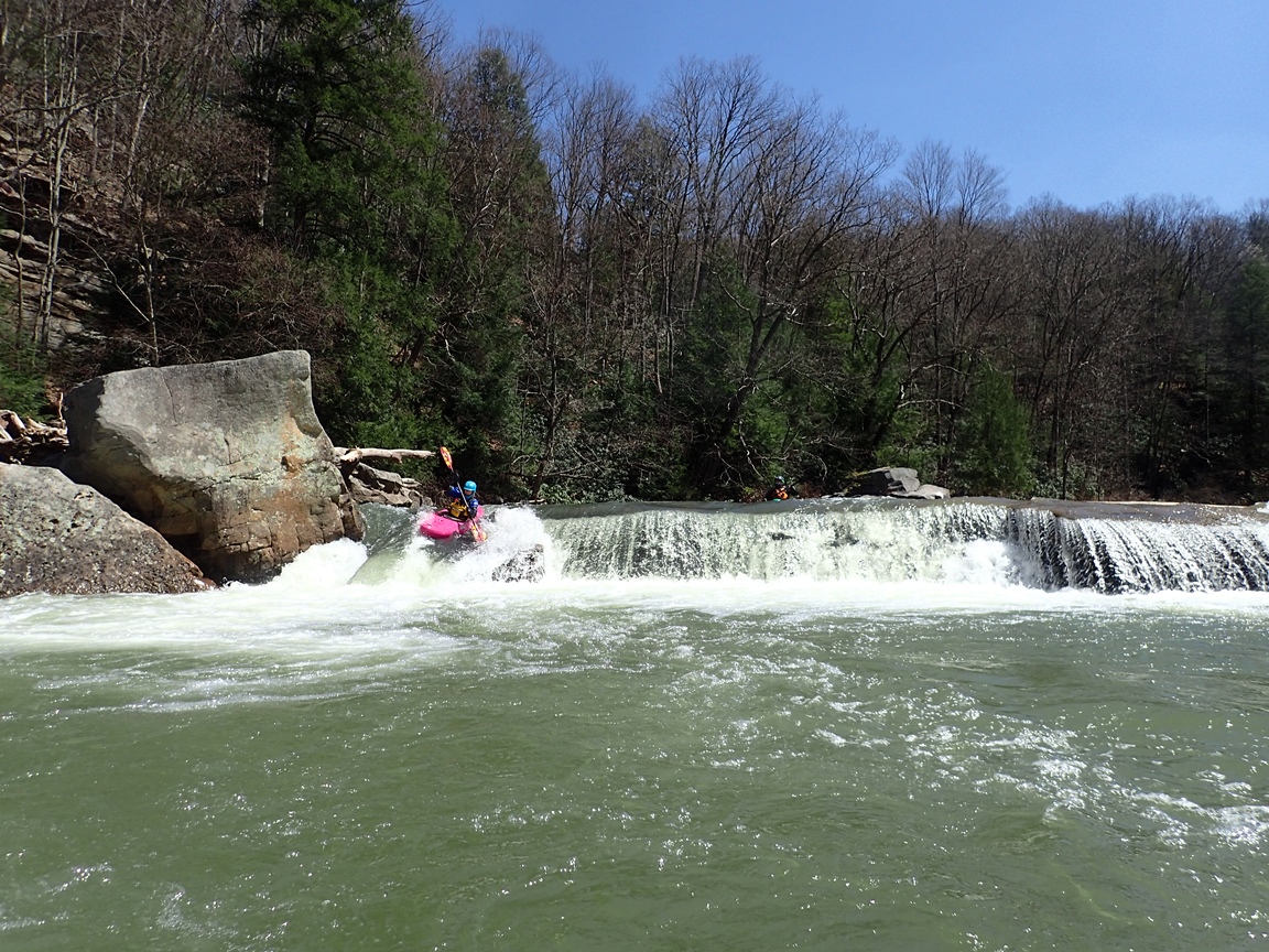
- Ledge (III-). Around the corner you come to a horizon that ends up being a 3 or 4 foot ledge. There is a line on the right next to the large rock or in the middle basically anywhere.
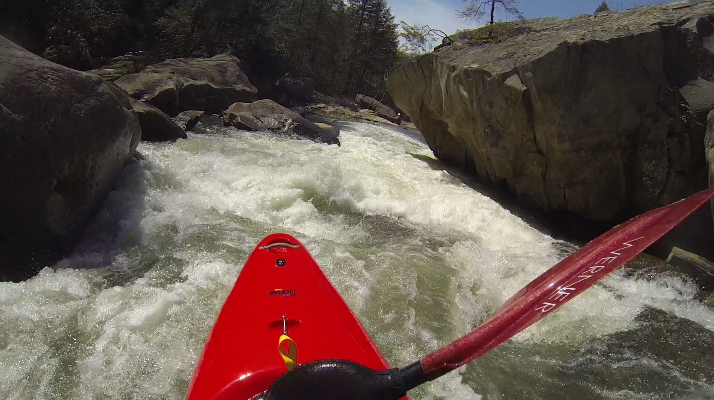
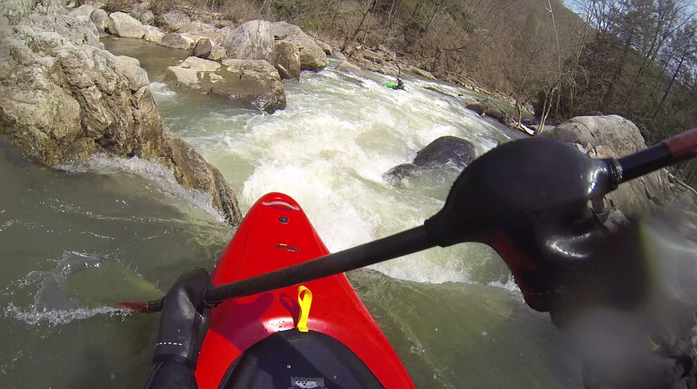
Zoom Flume (IV). Downstream 100 yards is a sizeable bedrock rapid. Scout from the right. You can run this several ways, right to left, straight down the right, or even a little left to right. Just keep it upright as the slide at the bottom is shallow!
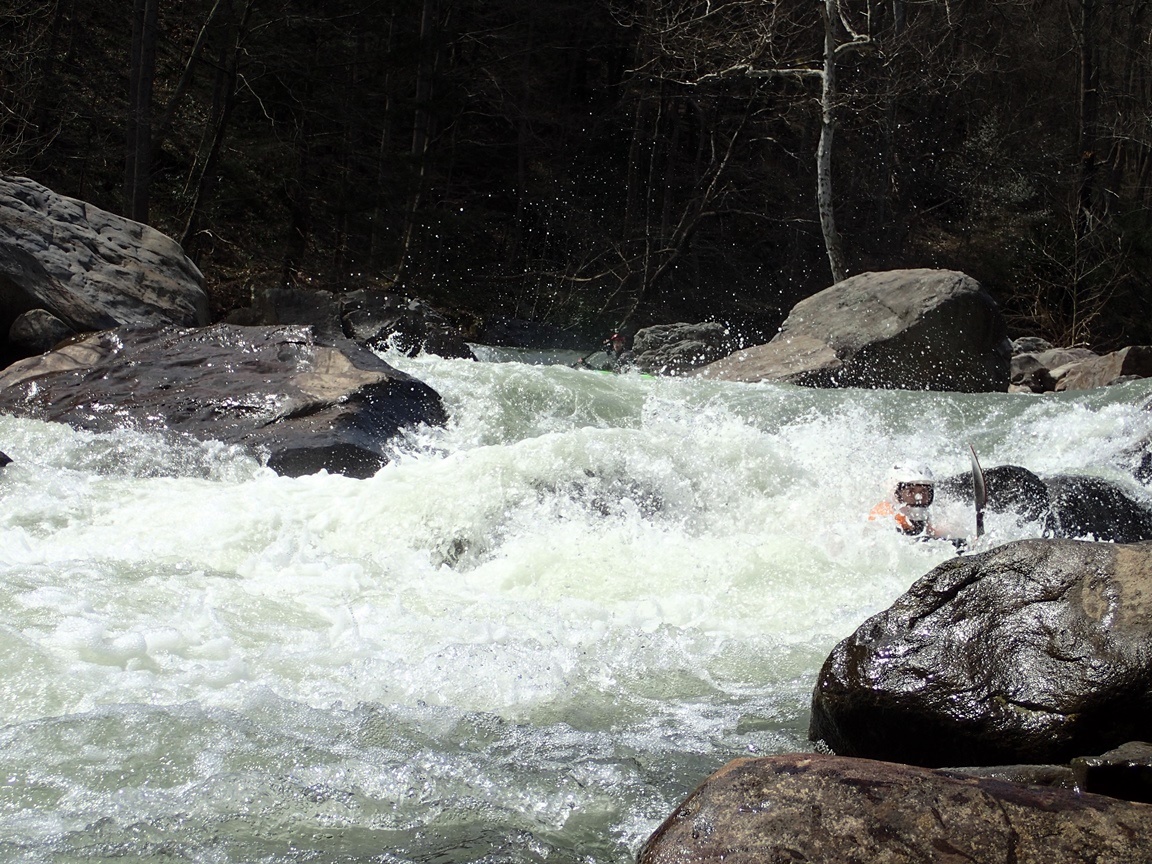
- Small Splat (IV). Just downstream you enter a rapid that ends with a bit of a cascade and a pin rock. You want to be far left. I honestly didn't think this rapid was hard at all, some call it class IV+. Maybe I didn't get something about it... but the pin rock was easy to avoid and there were no major hydraulics. Maybe at higher flow it gets worse.
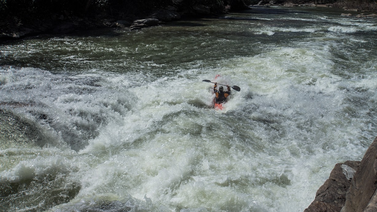
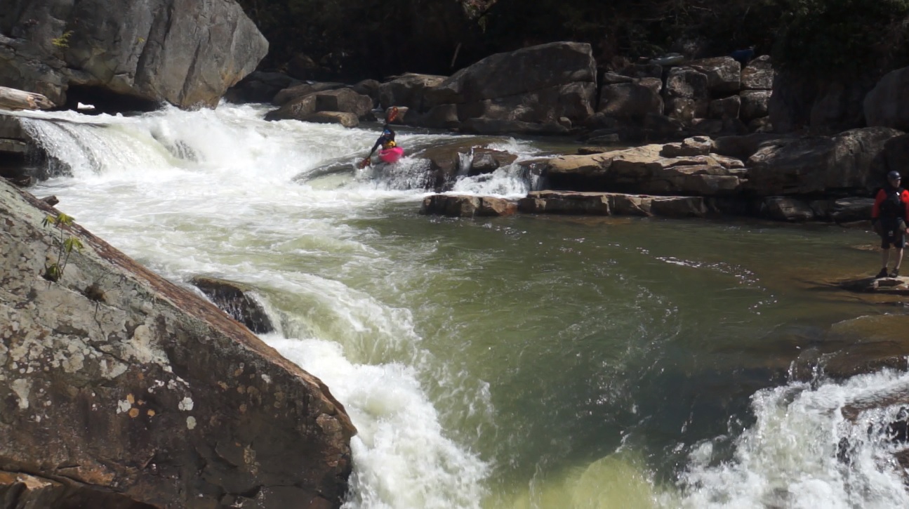
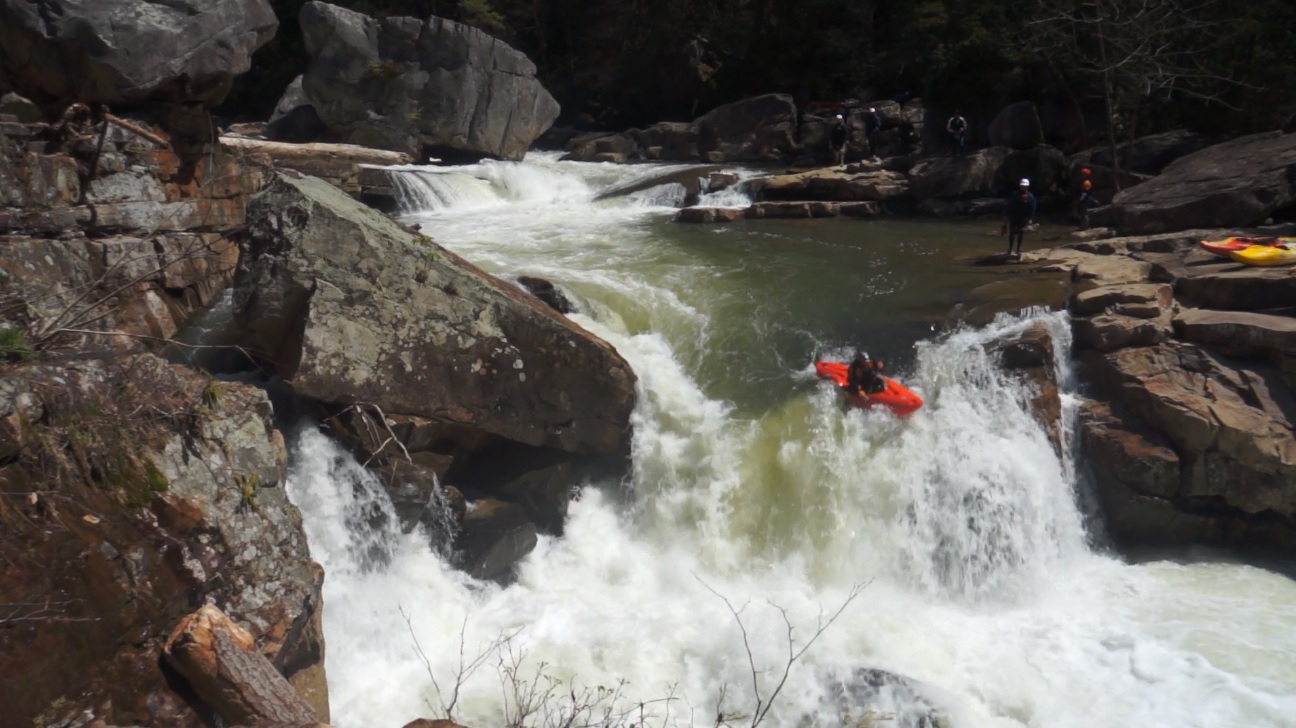
- Big Splat (IV+ to V-). Just downstream you want to either get out on the right or left to scout / portage the main event for the river. The rapid is entered down the far left channel which has a steep drop that ramps out before airplain turning around a sizable hole. The crux is to be driving left to boof around the horseshoe hole and plop into the eddy on the left just downstream. This is the pool just above the final drop. The final drop ramps and drops some 10 feet. The water moves left to right directly into a large slab rock. The key is to be driving hard right to left to boof and land just next to the slab. It goes super smooth as long as you can control your boat angle in that manner. I would hate to piton my brain out on that slab which is certainly a possibility. Also, if the horseshoe hole gets you, don't swim far right as that sieves out. So hope you have safety set on the left shore to pull you out before the final drop.
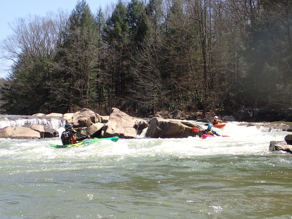
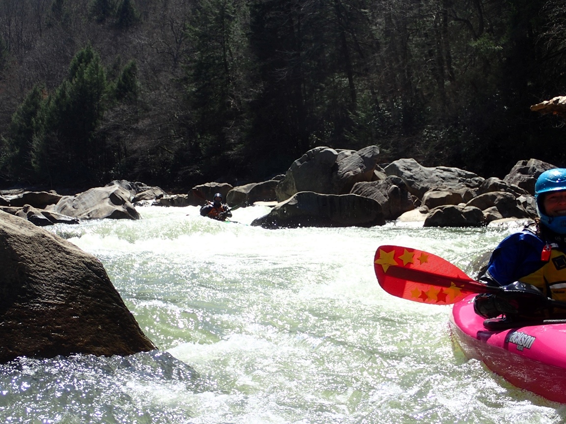
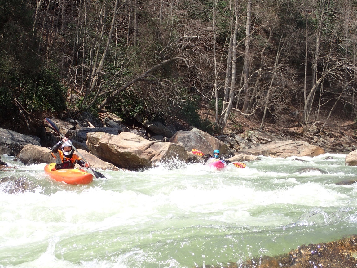
Just Below (IV). Just downstream the fun boulder gardens really get going. The first set has some of the more congested, we stayed generally left. The rapids continue for the remainder of the run, but for the most part do not have distinct character.

The next 2 miles are full of fun boogie, mostly class III but perhaps with one or two rapids that approach class IV.
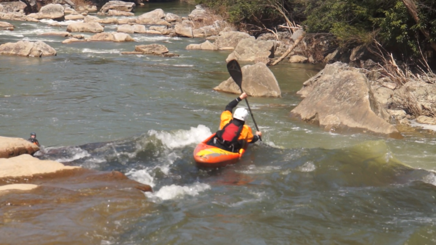
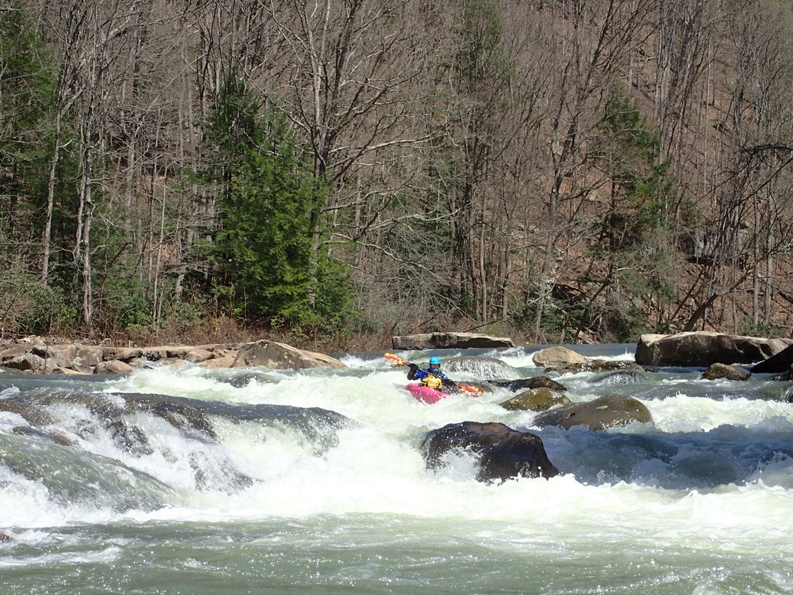
- Island Rapid (IV to IV+). A two part rapid on the right side of the first major island you come to, the first part was a boof down the center of the main channel (left of center). We then caught an eddy at the lip of the bottom drop. Some people try to boof hard right to avoid a elbow basher rock just below in the middle. I found it worked better to drop in low and cut directly in front of it. But I bet that is flow dependent.
More boogie takes you all the way to take-out!
For more details on the run, see the AW write-up...
Take-out and Put-in: You need at least a Highlander / Outback or equivalent as the road to put-in and take-out is very rocky and requires some clearance. 15 miles East of Morgantown WV on Highway 68, take exit 23 for WV-26. Head south for 1.8 miles before turning right on Pleasant Valley Rd. In 1.2 miles veer right onto Co Rte 14/3 and continue for 0.4 miles before it turns into Little Sandy Rd and continue for an additional 0.4 miles before it then changes names to be Shawhill Rd. (Just stay straight). In 1.9 miles you will pass a dirt road turning sharply back up that parallels a creek down to put-in. But first, getting to take-out... rather than turning continue straight for another quarter mile to the T, turn left. Then in 0.6 miles turn right at the fork onto Bull Run Rd. The road then degrades for 3.5 miles to the large parking area at the bridge.
Put-in:
Take-out:
HTML Comment Box is loading comments...